MyTopo
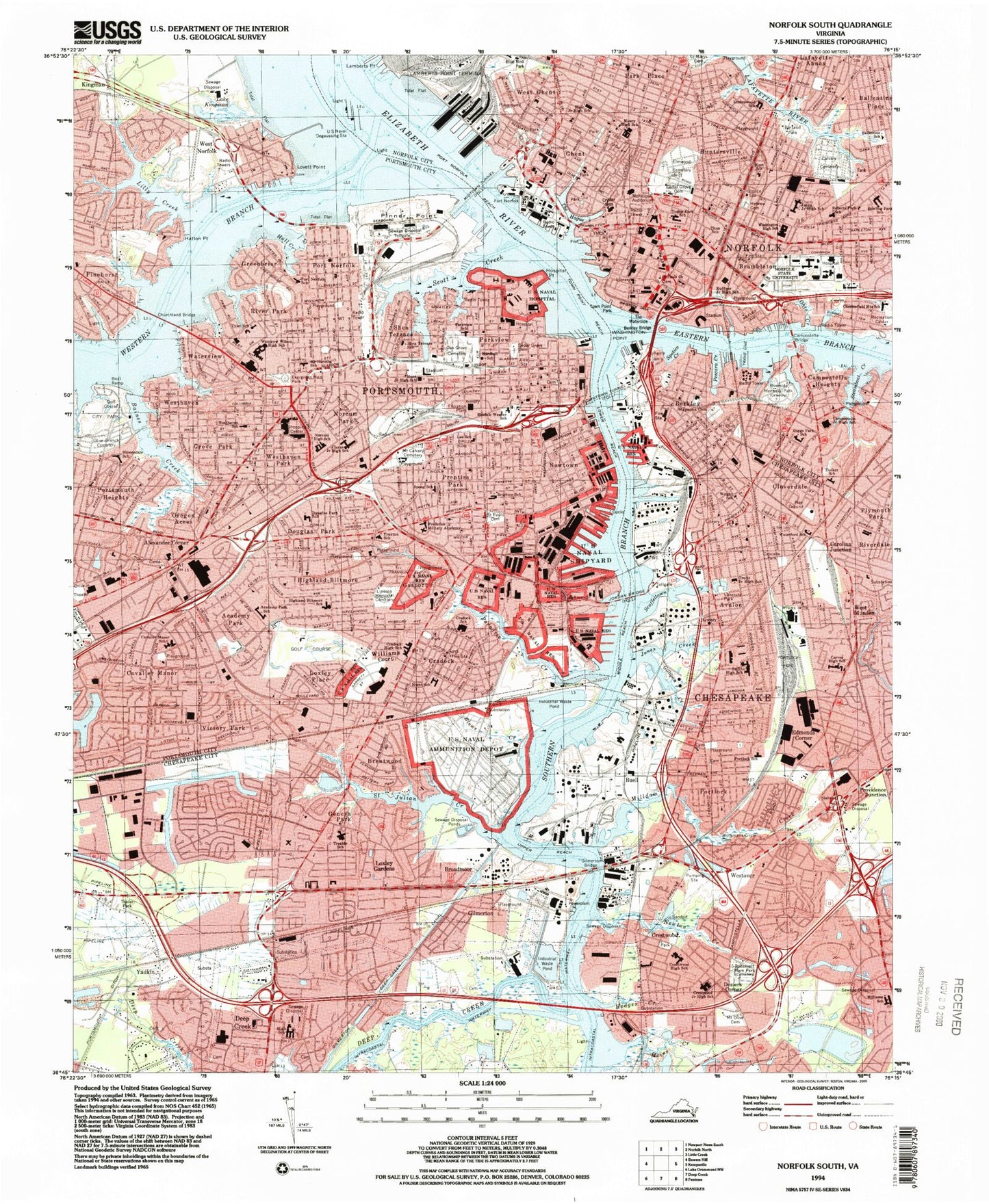
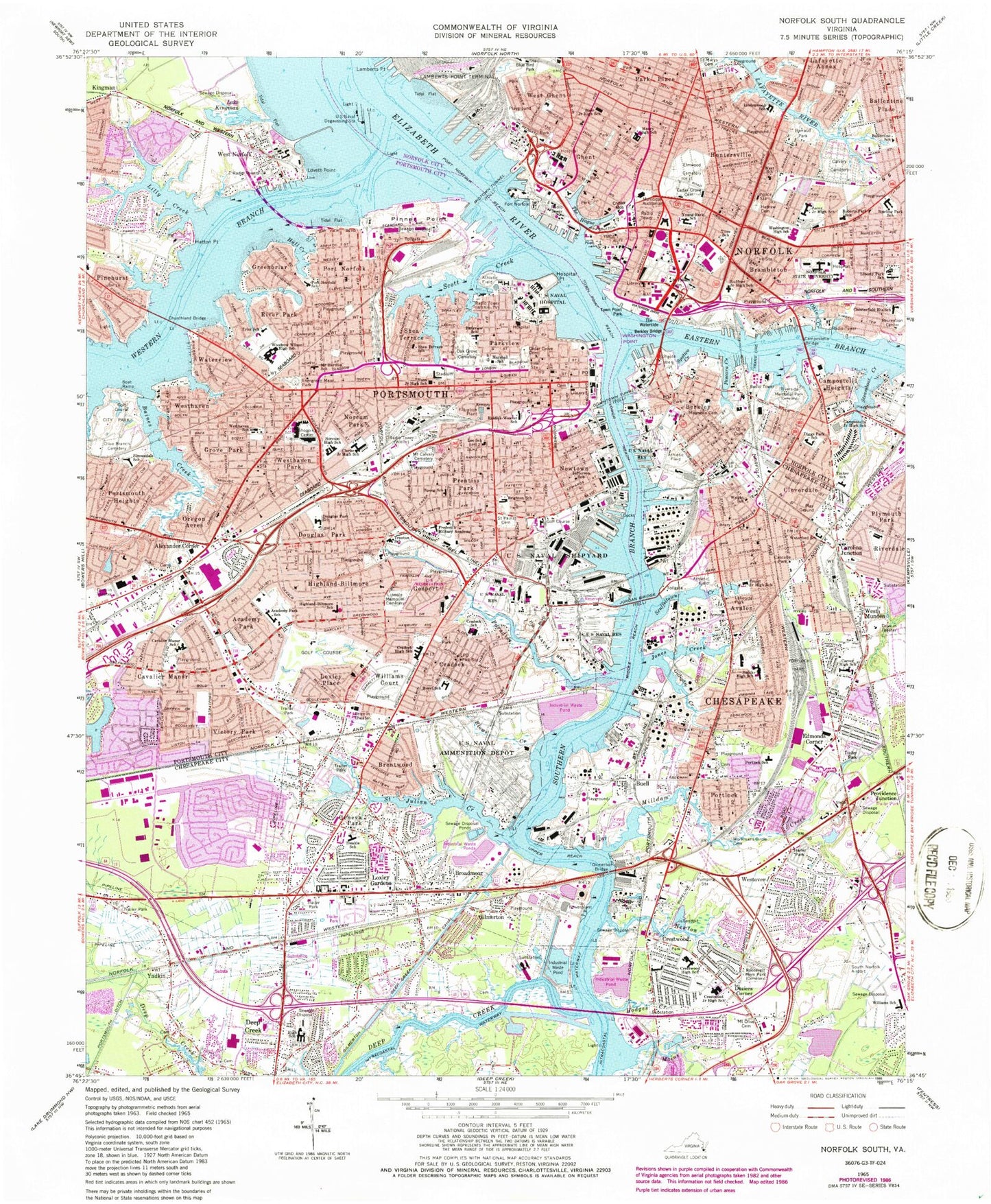
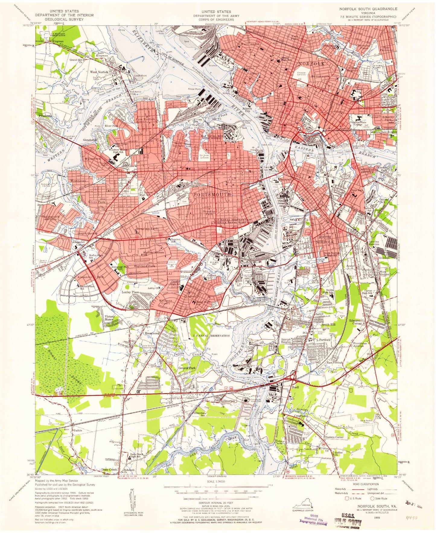
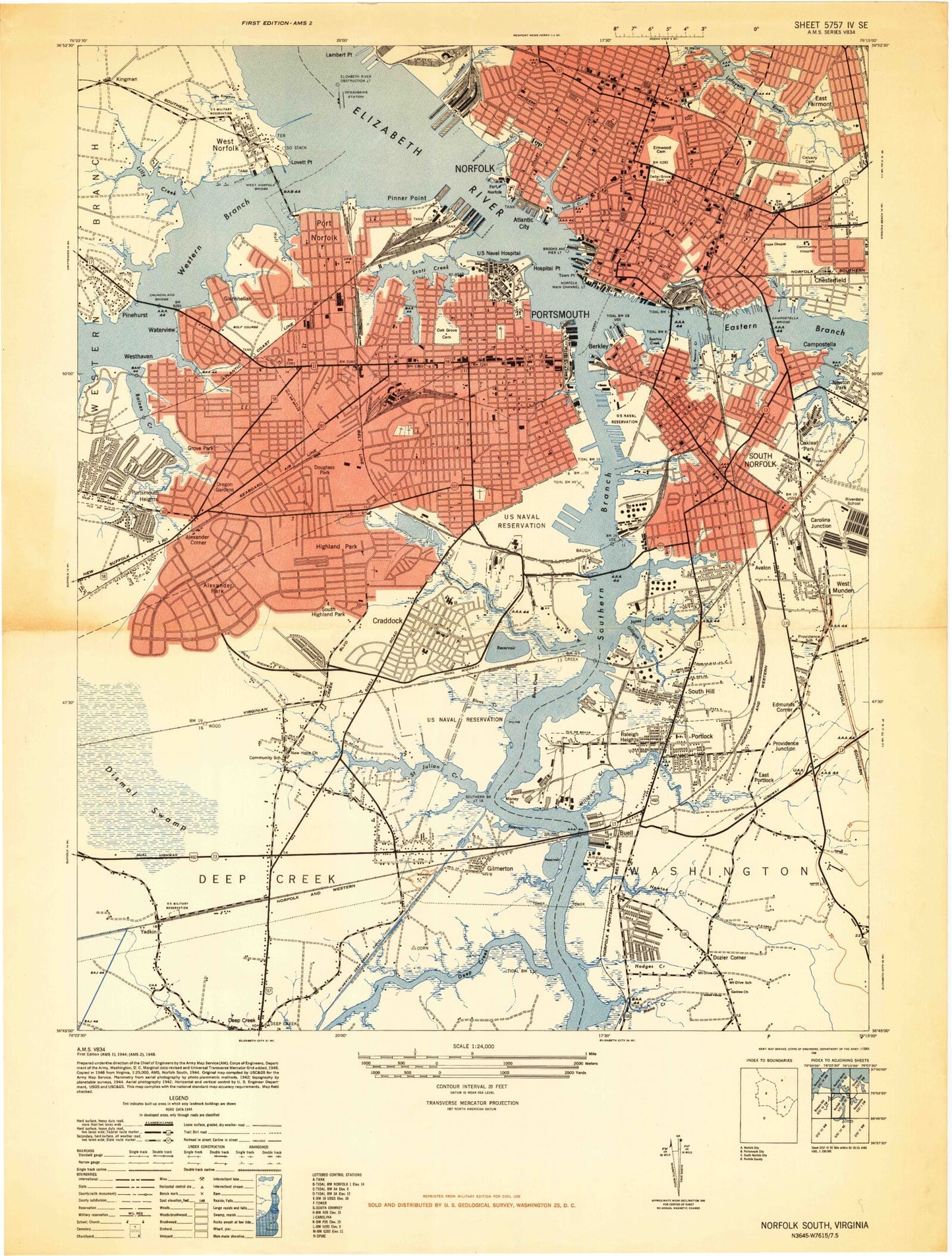
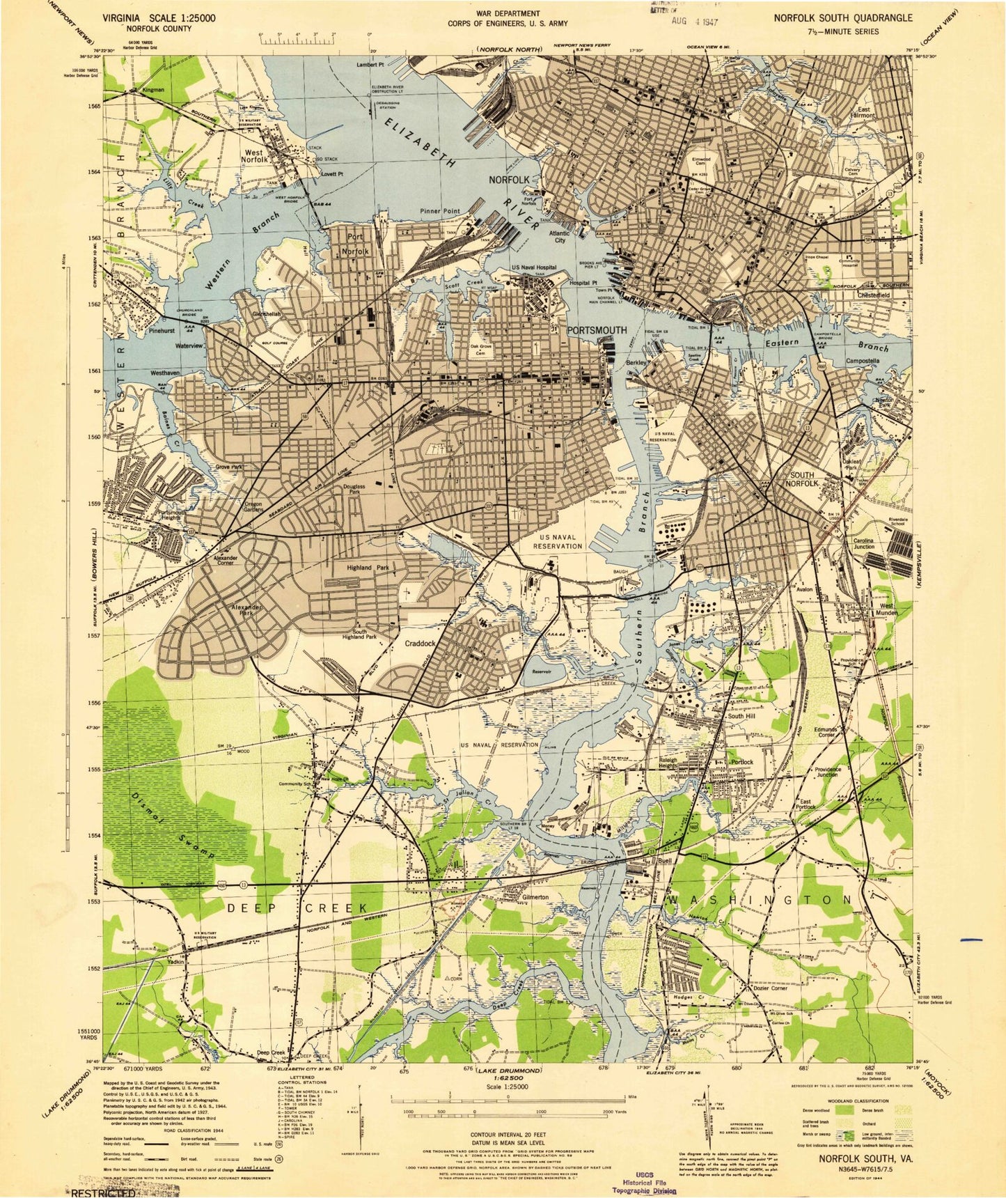
Classic USGS Norfolk South Virginia 7.5'x7.5' Topo Map
Couldn't load pickup availability
Historical USGS topographic quad map of Norfolk South in the state of Virginia. Map scale may vary for some years, but is generally around 1:24,000. Print size is approximately 24" x 27"
This quadrangle is in the following counties: Chesapeake (city), Norfolk (city), Portsmouth (city).
The map contains contour lines, roads, rivers, towns, and lakes. Printed on high-quality waterproof paper with UV fade-resistant inks, and shipped rolled.
Contains the following named places: Academy Park, Admiralty Mobile Home Court, Afton Park, Afton Square, Alantic City, Alexander Corner, Avalon, Baines Creek, Ballentine Place, Barnes Trailer Park, Barraud Park, Battlefield Corporate Center, Battlefield Marketplace Shopping Center, Battlefield Shoppes Shopping Center, Berkley, Bide-A-Wee Golf Club, Blows Creek, Blue Bird Park, Brambleton, Brentwood, Broadmoor, Bruce Johnson Memorial Park, Buell, Calvary Cemetery, Campostella, Campostella Heights, Carolina Junction, Cascade Boulevard Park, Cascade Park, Cavalier Business Center, Cavalier Industrial Park, Cavalier Manor, Cedar Grove Cemetery, Chemphalt Wharf, Chesapeake, Chesapeake Airport, Chesapeake Crossing Shopping Center, Chesapeake Mobile Home Park, Chesterfield, Church Street Shopping Center, City of Portsmouth, Cloverdale, Craddock Historic District, Cradock, Crestwood, Dale Homes, Deep Creek, Dominion Chesapeake Energy Center, Douglas Park, Downtown Plaza Shopping Center, Downtown Tunnel, Doziers Corner, Eastern Branch Elizabeth River, Edmonds Corner, Edmonds Corner Mobile Home Park, Elizabeth River Terminals, Elmwood Cemetery, Evergreen Memorial Park, Fort Norfolk, Frank D Lawrence Stadium, Franklin Circle Park, Freemason Harbor, Geneva Mobile Home Park, Geneva Park, Geneva Shores, Ghent, Gilligan Creek, Gilmerton, Gilmerton Deep Creek Canal, Gilmerton Shopping Center, Gomley Chesed Cemetery, Gosport, Gosport Creek, Greenbriar, Grove Park, Harbor Park Stadium, Hatton Point, Hebrew Cemetery, Highland-Biltmore, Hodges Creek, Holiday Harbor, Holly Point Shopping Center, Homecrest Mobile Home Park, Hospital Point, Hull Creek, Huntersville, Johnson Park, Jones Creek, Kingman, Kings Plaza Shopping Center, Lake Collins, Lake Kingman, Lakeside Park, Lambert Bend, Lambert Creek, Lamberts Point Terminal, Liberty Square Shopping Center, Lilly Creek, Lincoln Memorial Cemetery, Lovett Point, Lower Reach, Loxley Gardens, Loxley Place, Ludlow Flats, Magnolia Cemetery, Mains Creek, McMilan Mobile Home Park, Midcity Shopping Center, Middle Reach, Midtown Tunnel, Midway Mobile Home Park, Midway Shopping Center, Milldam Creek, Money Point, Mount Calvary Cemetery, Mount Olive Cemetery, Naval Medical Center Portsmouth, Naval Shipyard Norfolk, Naval Station Norfolk Saint Juliens Creek Annex, Newton Creek, Newton Park, Newtons Creek, Newtown, Norcum Park, Norfolk, Norport Homes, Oak Grove Cemetery, Ohio Creek, Olive Branch Cemetery, Oregon Acres, Oregon Gardens, Paradise Creek, Park Place, Park View Historic District, Parkview, Pescara Creek, Pier L, Pier N, Pier P, Pier S, Pinehurst, Pinner Point, Plymouth Park, Port Norfolk, Port Norfolk Historic District, Port Norfolk Reach, Portlock, Portlock Yard, Portsmouth, Portsmouth Heights, Portsmouth Marine Terminal, Portsmouth Olde Town Historic District, Prentiss Park, Providence Junction, R and H Mobile Court, Raleigh Heights, River Front Park, River Park, Riverdale, Riverside Discount Mall, Riverside Memorial Park, Robertson Park, Roosevelt Memorial Park, Saint Helena, Saint Julian Creek, Saint Mary's Catholic Cemetery, Saint Pauls Cemetery, Scott Creek, Scott's Creek Marina, Scuffeltown Creek, Sea-Land Service Terminal, Sentara Norfolk General Hospital Airport, Seventh and Lincoln Shopping Center, Shea Terrace, Shoop Park, Smith Creek, South Hill, South Norfolk Airport, South Norfolk Borough, South Norfolk Historic District, Southeastern Public Service Authority Incinerator, Southern Branch Elizabeth River, Southgate Plaza Shopping Center, Spotico Creek, Steamboat Creek, Stoney's Mobile Home Park, Sturbridge Village Mobile Home Park, Suburban Country Club, Swanson Homes, Tarrant Creek, Tennis Complex, The Links at City Park, The Waterside, Tidewater Marina, Tower Mall Shopping Center, Town and Country Shopping Center, Town Point, Town Point Park, Town Point Reach, Trailer Acres Mobile Home Park, Truxtun Historic District, Upper Reach, Victory Park, Village Square Shopping Center, Washington Point, Waterside Festival Marketplace, Waterside Marina, Waterview, West Ghent, West Munden, West Norfolk, Western Branch Elizabeth River, Westgate Plaza Shopping Center, Westhaven, Westhaven Park, Westhaven Recreation Center, Westover, Williams Court, Woodland Park, Woodland Terrace, Woodshire Mobile Home Park, Workmans Circle Cemetery, Yadkin, ZIP Codes: 23324, 23504, 23507, 23510, 23517, 23523, 23701, 23702, 23704, 23707, 23708, 23709
