MyTopo
Classic USGS Norfork Dam North Arkansas 7.5'x7.5' Topo Map
Couldn't load pickup availability
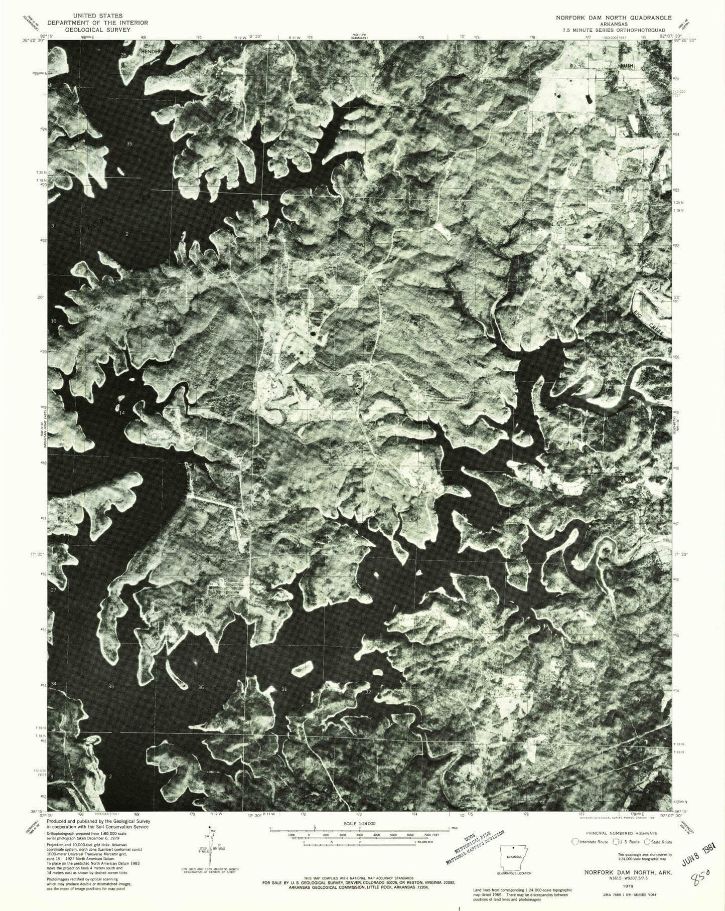
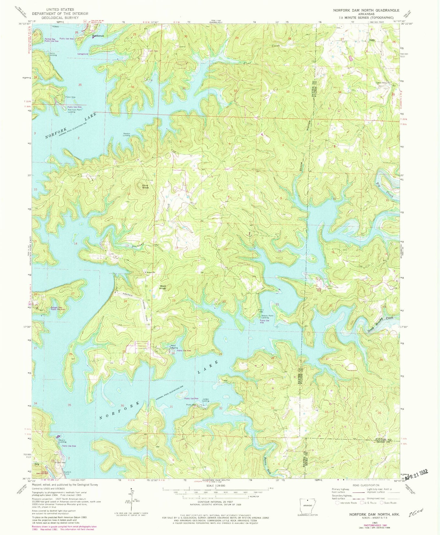
Historical USGS topographic quad map of Norfork Dam North in the state of Arkansas. Typical map scale is 1:24,000, but may vary for certain years, if available. Print size: 24" x 27"
This quadrangle is in the following counties: Baxter, Fulton, Izard.
The map contains contour lines, roads, rivers, towns, and lakes. Printed on high-quality waterproof paper with UV fade-resistant inks, and shipped rolled.
Contains the following named places: Big Creek, Center Point Church, Diamond Creek, Float Creek, South Brushy Creek, Stone Hollow, Wates Church, Hand Landing, Jordan Landing, Newton Landing, Quarry Landing, Robinson Point Landing, Ruth, Salem Landing, Wolf Knob, Woods Point Landing, Conley Ford (historical), Covey (historical), Diamond Bay, Georges Cove Public Use Area, Hand (historical), Hand School (historical), Hand Use Area, Henderson Use Area, Jordan Use Area, Norfork National Fish Hatchery, Quarry Use Area, Robinson Point Use Area, Spencer (historical), Sycamore Spring, Timber Lake Manor, Wake (historical), Wood Point Use Area, Township of Union, Barren Fork, Flint Knob, Holiday Hills, The Bluffs Airport, Hand Cove Volunteer Fire Department, United States Fish and Wildlife Norfolk National Fish Hatchery Park Security