MyTopo
Classic USGS Norma Tennessee 7.5'x7.5' Topo Map
Couldn't load pickup availability
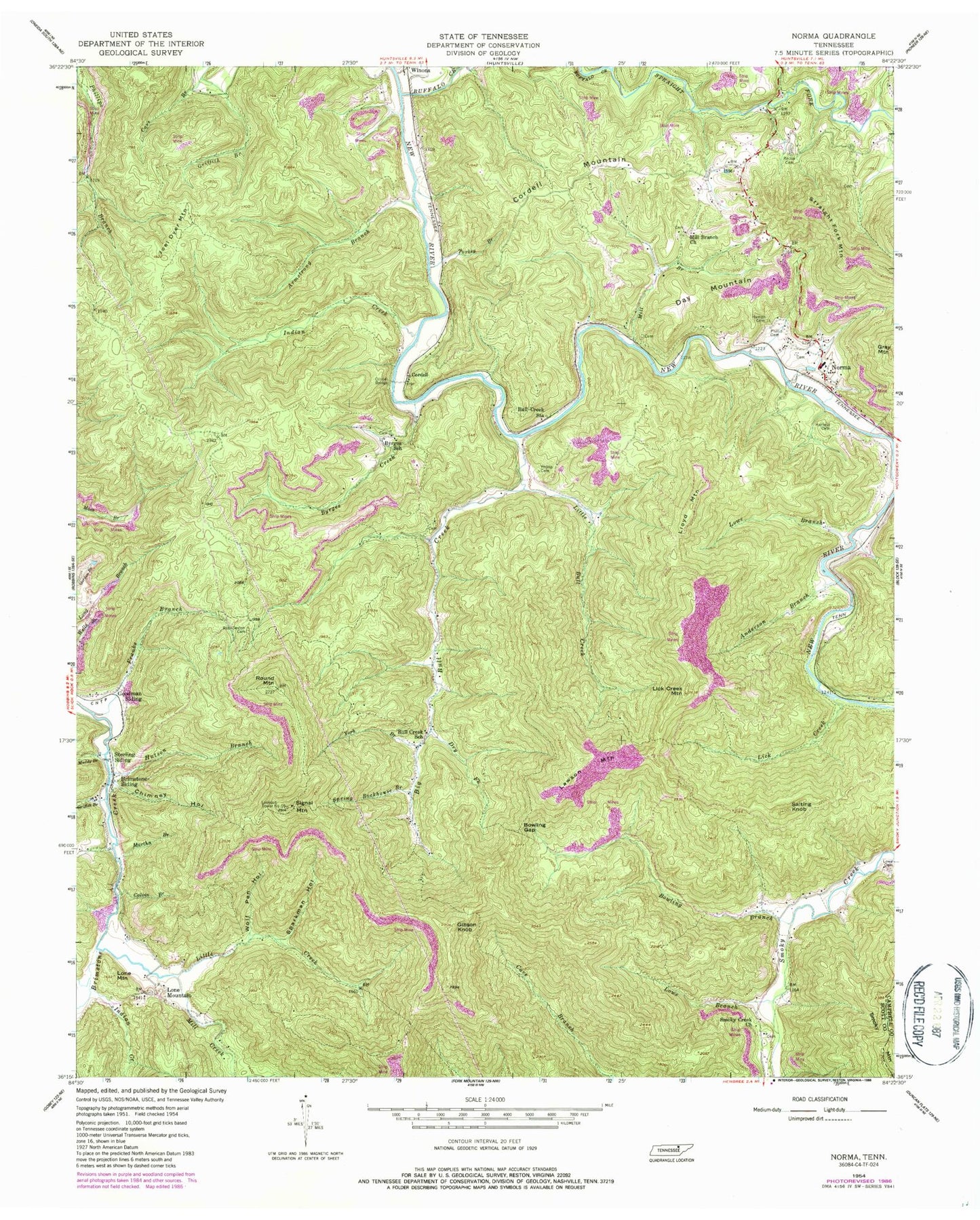
Historical USGS topographic quad map of Norma in the state of Tennessee. Map scale may vary for some years, but is generally around 1:24,000. Print size is approximately 24" x 27"
This quadrangle is in the following counties: Campbell, Scott.
The map contains contour lines, roads, rivers, towns, and lakes. Printed on high-quality waterproof paper with UV fade-resistant inks, and shipped rolled.
Contains the following named places: Allen Mine, Anderson Branch, Armstrong Branch, Big Bull Creek, Bowling Branch, Bowling Gap, Brimestone Mine, Brimstone Siding, Bryd Mine, Buffalo Creek, Bull Creek Baptist Church, Bull Creek School, Bull Creek Station, Byrges Branch Baptist Church, Byrges Creek, Byrges School, Calvin Branch, Chimney Hollow, Claiborne-Cotton Mine, Commissioner District 1, Cordell, Cordell Bridge, Cordell Mountain, Day Mountain, Dry Fork, Frank Coker Mine, Franks Branch, Gibson Knob, Goodman Siding, Griffith Branch, Hamon Cemetery, Hatfield Cemetery, Hutson Branch, Indian Creek, Jeffers, Joel Dyer Mountain, Kline Mine, Lassie Mine, Lawson Mountain, Lick Creek, Lick Creek Mountain, Little Bull Creek, Little Creek, Lloyd Mountain, Lone Mountain, Lookout Tower Number Sixteen, Lowe Branch, Lowe Cemetery, Martha Branch, Martin Mine, Mill Branch, Mill Branch Church, Mill Creek, Muddy Branch, New River Mine, Norma, Norma Baptist Church, Norma Division, Norma Post Office, Norma School, Old House Branch, Pemberton Mine, Phillip Cemetery, Rector Cemetery, Red Jacket Mine, Rob Sexton Cemetery, Robbins Mine, Round Mountain, Salting Knob, Schaefer-Goodman Mine, Signal Mountain, Smoky Creek Church, Smoky Creek School, Sparkman Hollow, Split Chestnut Hollow, Spring Rockhouse Branch, Stanley Walker Mine, Sterling Siding, Straight Fork, Straight Fork Mine, Straight Mountain, Todd Mine, Turkey Branch, Walker Mine, West Brothers Mine, Wolf Pen Hollow, York Branch, ZIP Code: 37756


