MyTopo
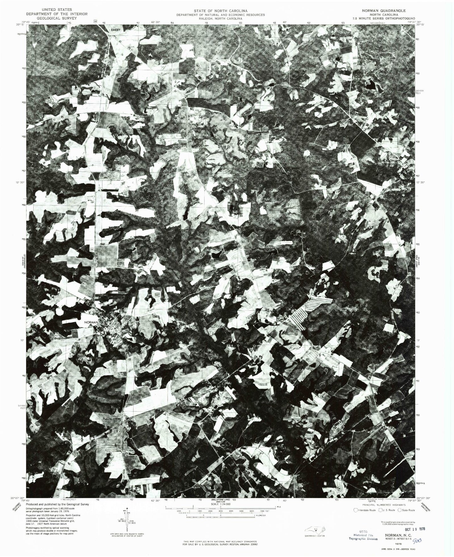
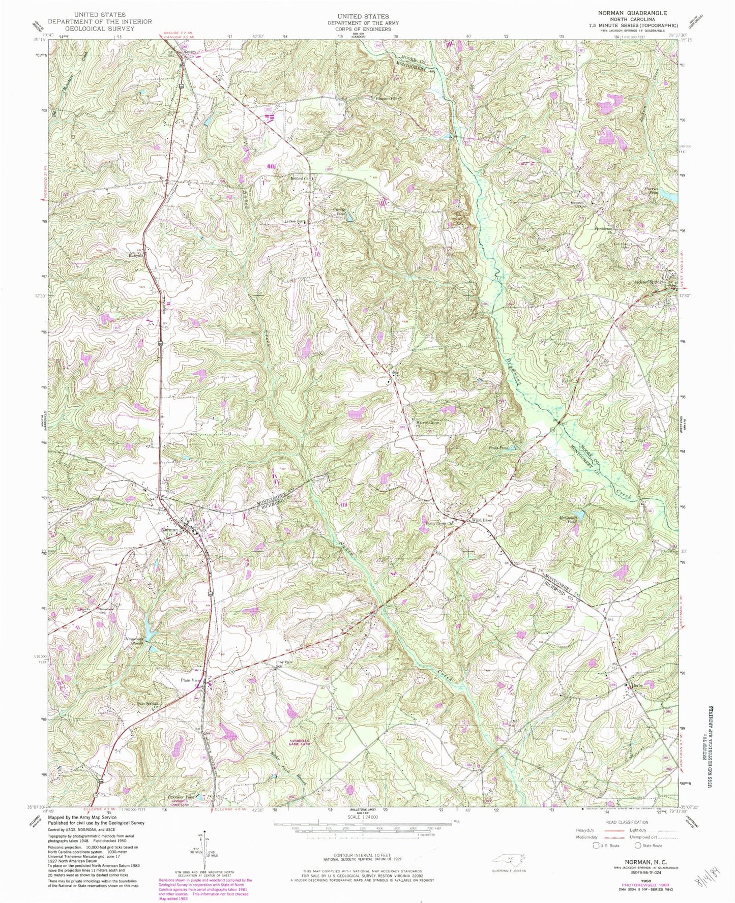
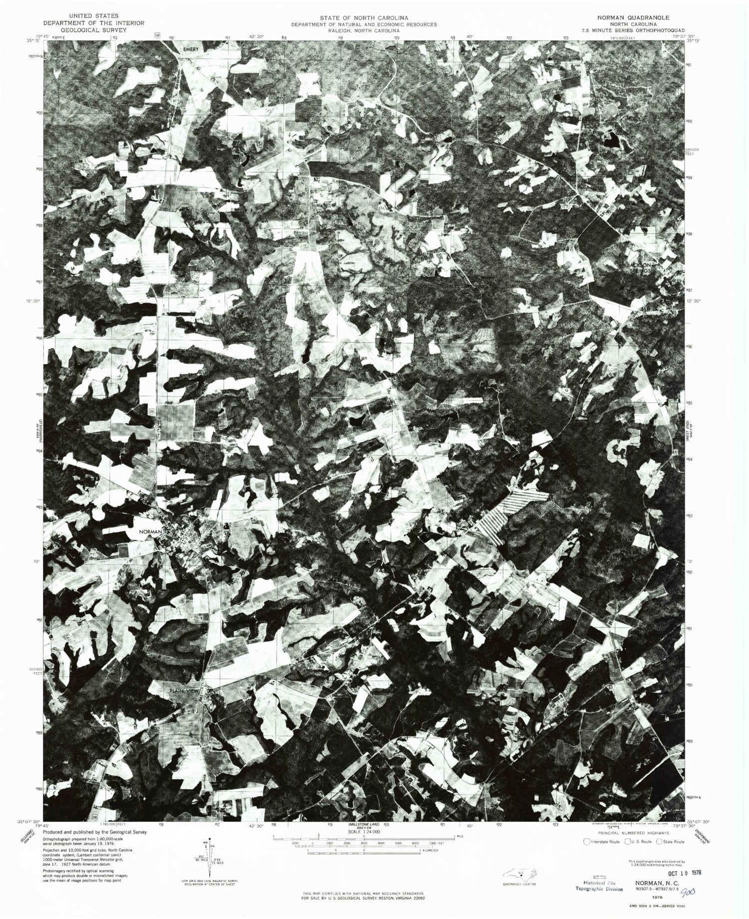
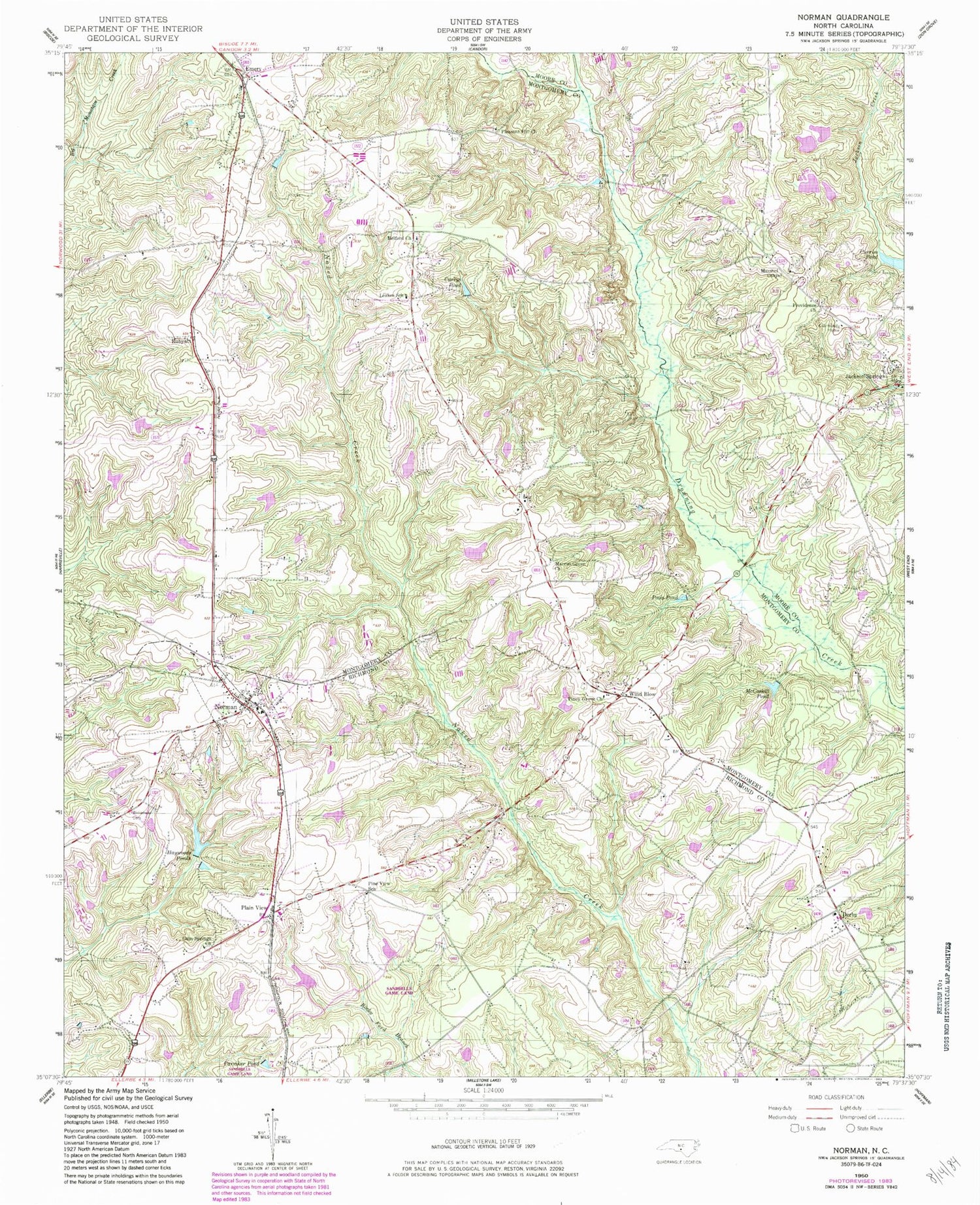
Classic USGS Norman North Carolina 7.5'x7.5' Topo Map
Couldn't load pickup availability
Historical USGS topographic quad map of Norman in the state of North Carolina. Map scale may vary for some years, but is generally around 1:24,000. Print size is approximately 24" x 27"
This quadrangle is in the following counties: Montgomery, Moore, Richmond.
The map contains contour lines, roads, rivers, towns, and lakes. Printed on high-quality waterproof paper with UV fade-resistant inks, and shipped rolled.
Contains the following named places: Belford Cemetery, Belford Church, Carriker Pond, Chappell Pond, Chappell Pond Dam, Church of God, Currie Bridge, Currie Pond, Currie Pond Dam, Curries Pond, Currys Pond, Derby, Derby Aerodome, Derby Volunteer Fire Department, Dewitt Pond, Dewitt Pond Dam, Emery, Fairview School, Gum Springs Cemetery, Gum Springs Church, Harris Bridge, Haywoods Ponds, Jackson Springs, Jackson Springs Census Designated Place, Jackson Springs Post Office, Leakes School, Marcus Grove Cemetery, Marcus Grove Church, Marshel Chapel, McCaskill Pond, McKenzie Bridge, McLeods Mill, Norman, Norman Post Office, North State Orchard Pond Number One, North State Orchard Pond Number One Dam, North State Orchard Pond Number Two, North State Orchard Pond Number Two Dam, Phillip Bengston Dam Number One, Phillip Bengston Dam Number Two, Pine View School, Piney Grove Church, Plain View, Pleasant Hill Cemetery, Pleasant Hill Methodist Church, Pools Pond, Providence Cemetery, Providence Church, Research Pond Number One, Research Pond Number One Dam, Research Pond Number Two, Research Pond Number Two Dam, Rubyatt, Stewart Bridge, Town of Norman, Township of Rocky Springs, Williamson Cemetery, Wind Blow, ZIP Codes: 27281, 28367


