MyTopo
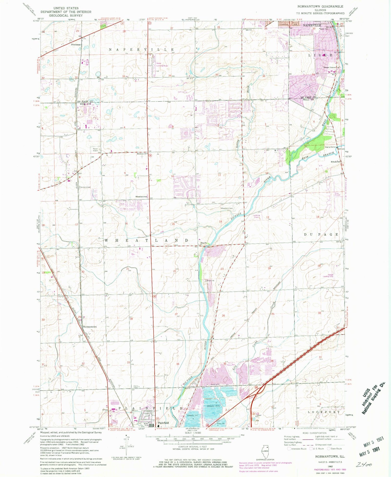
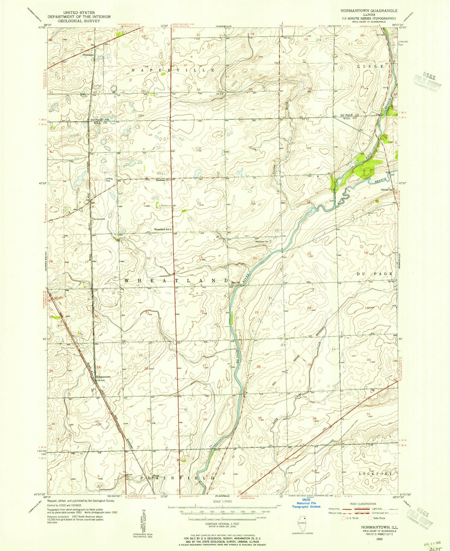
Classic USGS Normantown Illinois 7.5'x7.5' Topo Map
Couldn't load pickup availability
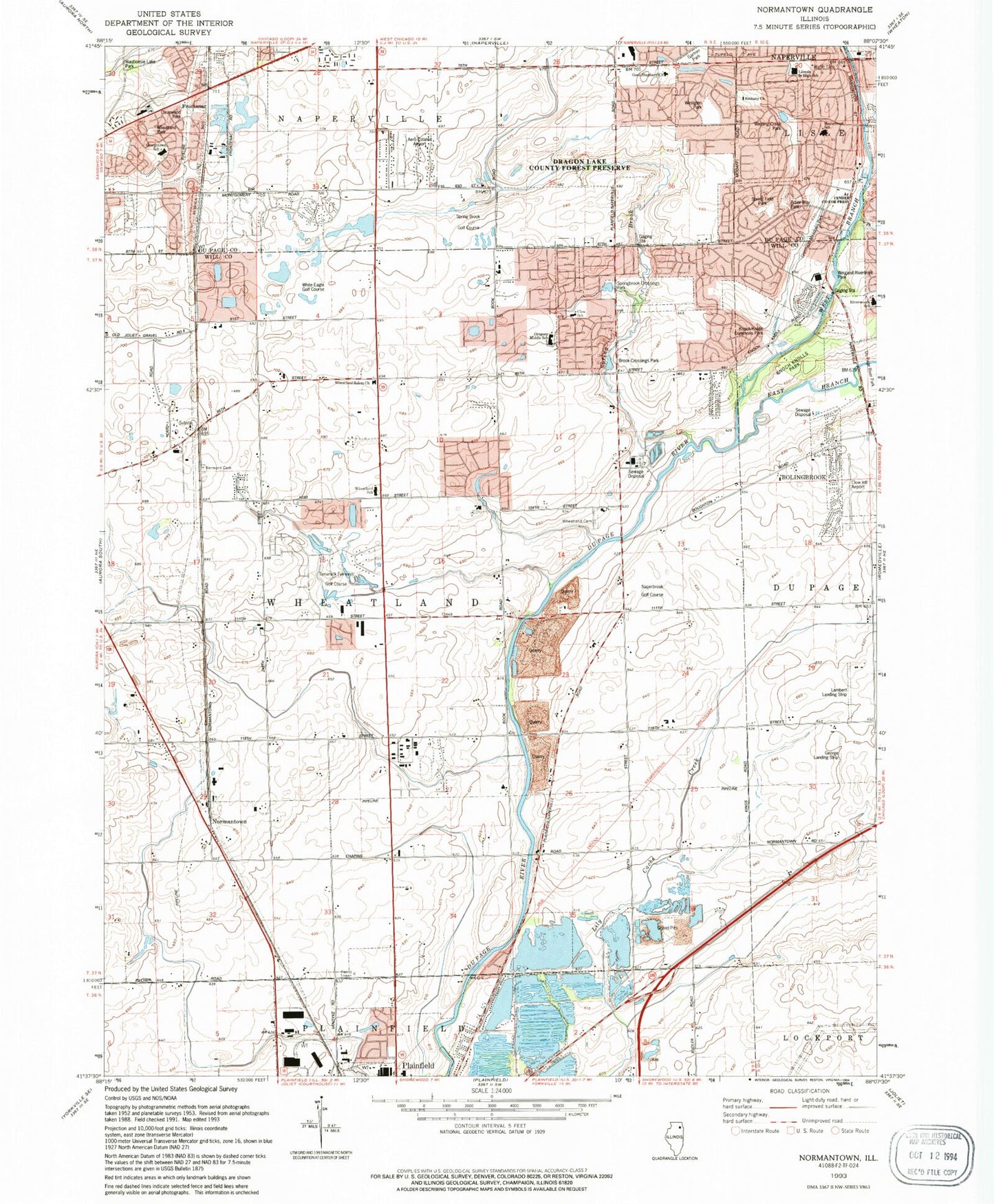
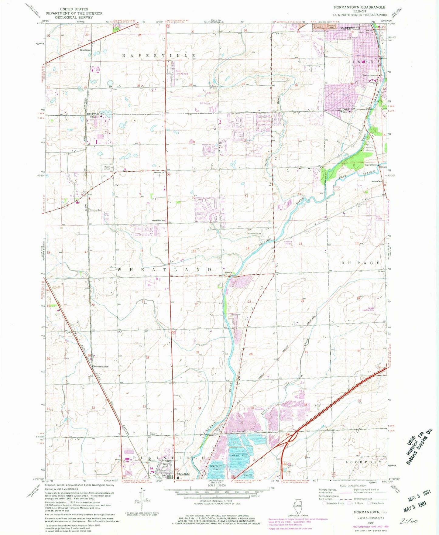
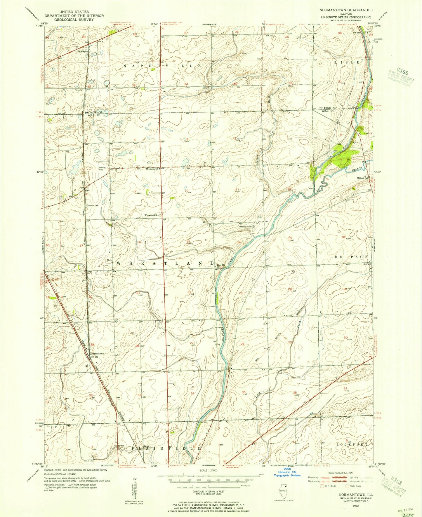
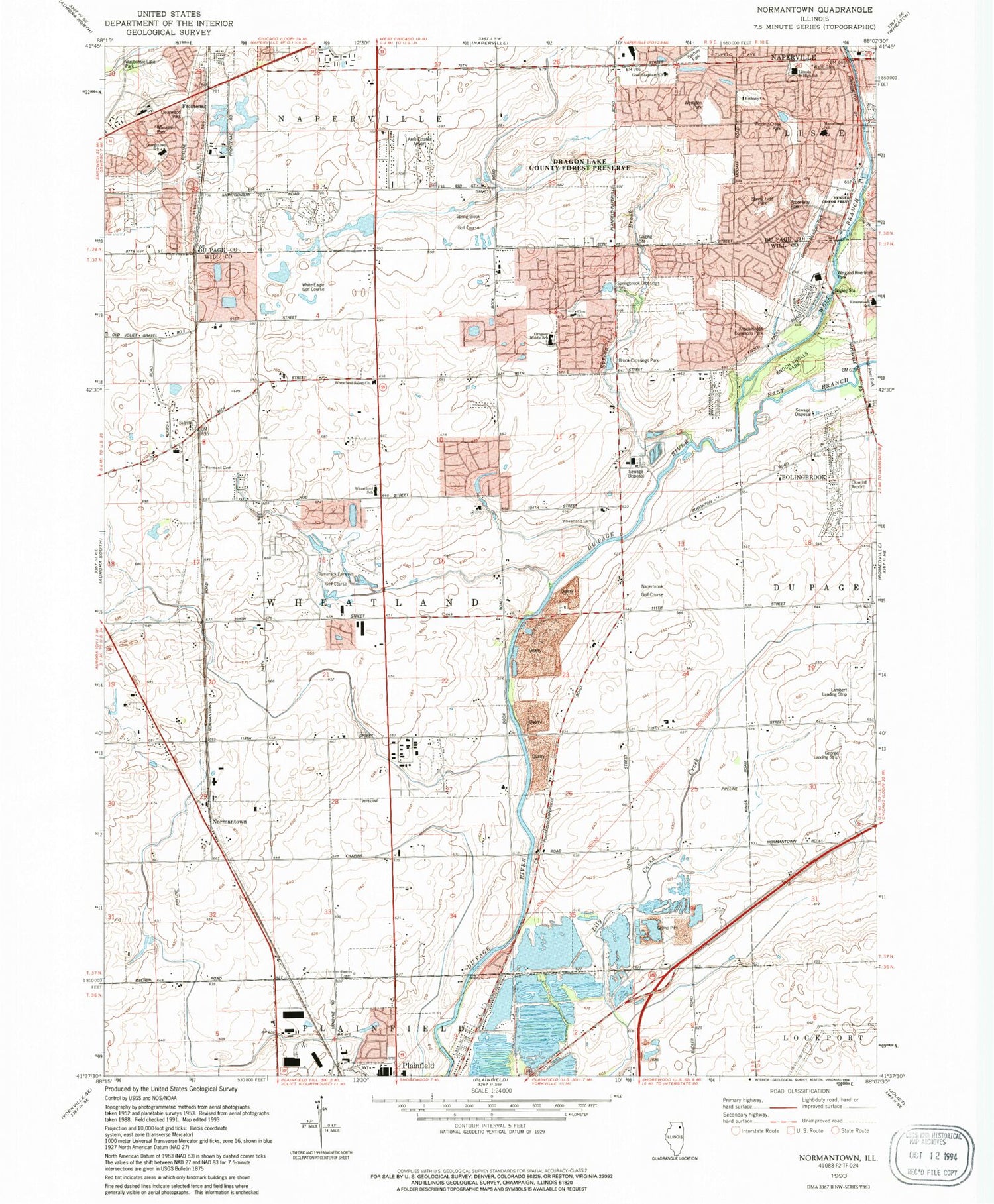
Historical USGS topographic quad map of Normantown in the state of Illinois. Map scale may vary for some years, but is generally around 1:24,000. Print size is approximately 24" x 27"
This quadrangle is in the following counties: DuPage, Will.
The map contains contour lines, roads, rivers, towns, and lakes. Printed on high-quality waterproof paper with UV fade-resistant inks, and shipped rolled.
Contains the following named places: Aero Estates Airport, Air Angels, Andover Park, Arbor Way Park, Arrowhead Industrial Park, Bethany Church, Bloomfield West, Bolingbrook Fire Department Station 5, Bolingbrook's Clow International Airport, Breckenridge Estates, Brethren Church, Brook Crossings Estates, Brook Crossings Park, Brookwood Estates, Burnham Point, Cambridge Place, Carillon, Carlow Corporate Center, Champion Creek, Cider Creek, City of Naperville, Clearwood Park, Clow Creek Farm, Clow Creek Industrial Park, Copenhagen School, Country Aire Shopping Center, Country View Estates, Crestview Knolls, Crossing, Day Airport, East Branch Du Page River, East Wheatland Post Office, Fender County Forest Preserve, Foxridge Farms, Frontenac, Gartner Park, George Airport, Georgetown Elementary School, German Lutheran School, Golden Meadow Estates, Gombert Creek, Good Shepherd Lutheran Church, Graver Country Estates, Gregory Middle School, Harvest Glen, Hawthorne Square Shopping Center, Heatherstone, Heritage Knolls, Heritage Meadows, Heritage Place, Hickory Oaks, High Meadow, Hobson School, Hobson West Commons Shopping Center, Indian Boundary, Indian Chase Meadows, Jewel-Osco Shopping Center, Johnson School, Kendall Elementary School, Kensington Club, Knoch Knolls Commons Park, Knoch Knolls Park, Koroluk Commercial Center, Lakewood Falls, Lambert Airport, Lambert School, Lantz School, Lincoln Junior High School, Lockport Township Fire Protection District Station 3, Lombard School, Maplebrook Elementary School, Market Park Place Shopping Center, Naper Aero Club, Naperbrook Golf Course, Naperville Baptist Church, Naperville Congregational Church, Naperville Fire Department Station 5, Naperville Fire Department Station 6, Naperville Fire Department Station 8, Naperville Station Post Office, Normantown, Old Sawmill, Peter M Gombert Elementary School, Pheasant Chase, Pilcher School, Plainfield Fire Protection District Headquarters, Plainfield Fire Protection District Station 2, Plainfield Fire Protection District Station 3, Plainfield Quarry, Plantation, Ponds of Plainfield, Prairie Knoll, Prairie Ponds, Prairie Ridge, Quail Run, Red School, Reserve of Plainfield, Reserves at Clearwater, Ridge Park, River Edge Estates, River Oaks, River Woods, Riverbend, Rivercrest Estates, Rivermist, Riverwoods School, Robert E Clow Elementary School, Ron George Round Barn, Rose Hill Commercial Park, Rose Hill Farms, Royce School, Saddle Creek, Shell Lake Estates, Shenandoah, Somerfield, Southgate Park, Spaulding School, Spring Brook, Spring Brook Golf Course, Spring Brook School, Spring Field Park, Springbrook Crossings Park, Springbrook Marsh, Springbrook Prairie Forest Preserve, Springbrook Water Reclamation Center, Stillwater, Tamarack Fairways, Tamarack Fairways Golf Course, Township of Wheatland, Tuttle Farm, Tyler School, United Church of Fox Valley, Vermont Cemetery, Vermont Cemetery Prairie Nature Preserve, Walkers Grove, Waubonsie Lake Park, Weber Plaza Shopping Center, Weigand Riverfront Park, West Branch Du Page River, Westglen Park, Wheatland Crossing Commercial Center, Wheatland Highlands, Wheatland Industrial Park, Wheatland Marketplace Shopping Center, Wheatland Park, Wheatland Salem Church, Wheatland School, Wheatland South, Wheatland Township Cemetery, Wheatland View, White Eagle Golf Course, White School, Winchester Place, Winding Creek Park, Wolf Creek Estates, Wolf Creek Industrial Park, Wolf Creek Island, Woodlake, Woods of Rivermist, Zion Church, Zion Lutheran Church, Zion Lutheran Church Cemetery, ZIP Codes: 60490, 60504, 60564, 60585
