MyTopo
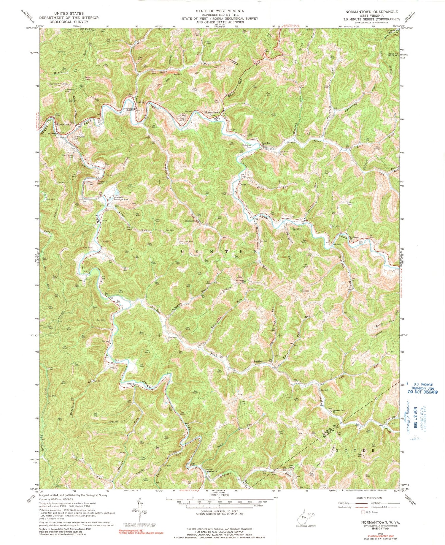
Classic USGS Normantown West Virginia 7.5'x7.5' Topo Map
Couldn't load pickup availability
Historical USGS topographic quad map of Normantown in the state of West Virginia. Map scale may vary for some years, but is generally around 1:24,000. Print size is approximately 24" x 27"
This quadrangle is in the following counties: Braxton, Calhoun, Gilmer.
The map contains contour lines, roads, rivers, towns, and lakes. Printed on high-quality waterproof paper with UV fade-resistant inks, and shipped rolled.
Contains the following named places: Bee Run, Bennett, Big Run, Brierylick Run, Butchers Run, Center District, Chestnutlick Run, Chestnutlick Run Church, Chestnutlick School, Collins Cemetery, Crooked Fork, Crooked Fork Church, Cub Run, Cub School, Elihu - Stump Cemetery, Eliza Run, Gilmer County Volunteer Fire Department Normantown Station, Hersmans Recreation Area, Hunt Road Run, Lade Run, Laurel Run, Left Fork Steer Creek, Lems Run, Lick Fork, Lick Fork School, Lick Run, Lockney, Lockney Post Office, Lower Two Run, Lynncamp Run, Meadows Cemetery, Mollahan Cemetery, Mount Carmel Church, Mount Pisgah Church, Mudlick Run, Mudlick School, Normantown, Normantown Elementary School, Normantown Post Office, Oak Grove Church, Oak Grove School, O'Brien Fork, Orton, Orton Cemetery, Owen Run, Palser Run, Peachtree Run, Peachtree School, Perkins, Perkins Post Office, Phelps Run, Piper Fork, Piper School, Poplarlick Run, Poplarlick School, Right Fork Steer Creek, Road Run, Rosedale Church, Shock, Slabcamp Run, Snakeroot Cemetery, Steer Run, Steer Run Church, Stumptown, Stumptown Post Office, Tanner Fork, Tanner Fork School, Upper Two Run, White Oak Run, Wolfpen Run, ZIP Codes: 25267, 26638


