MyTopo
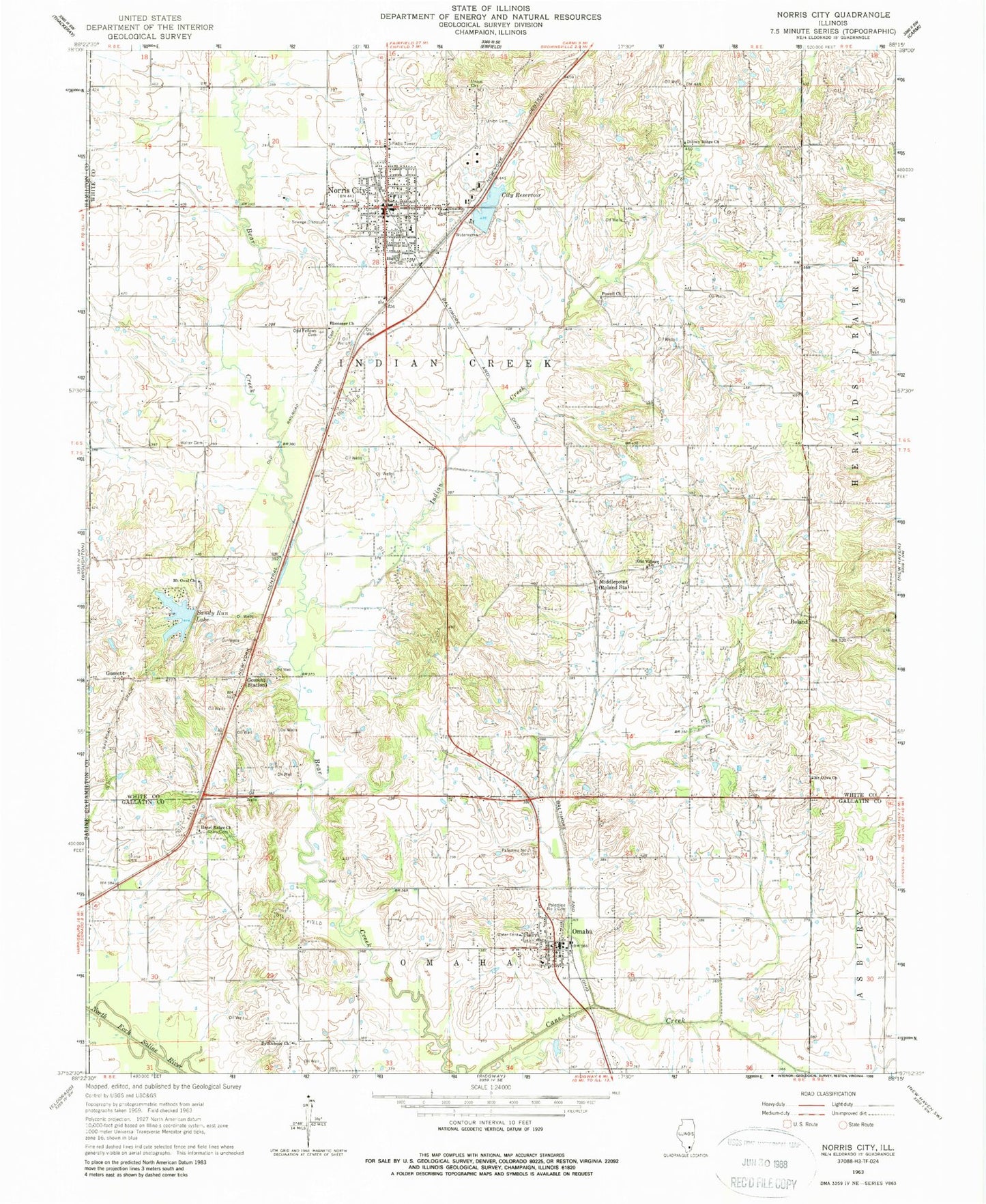
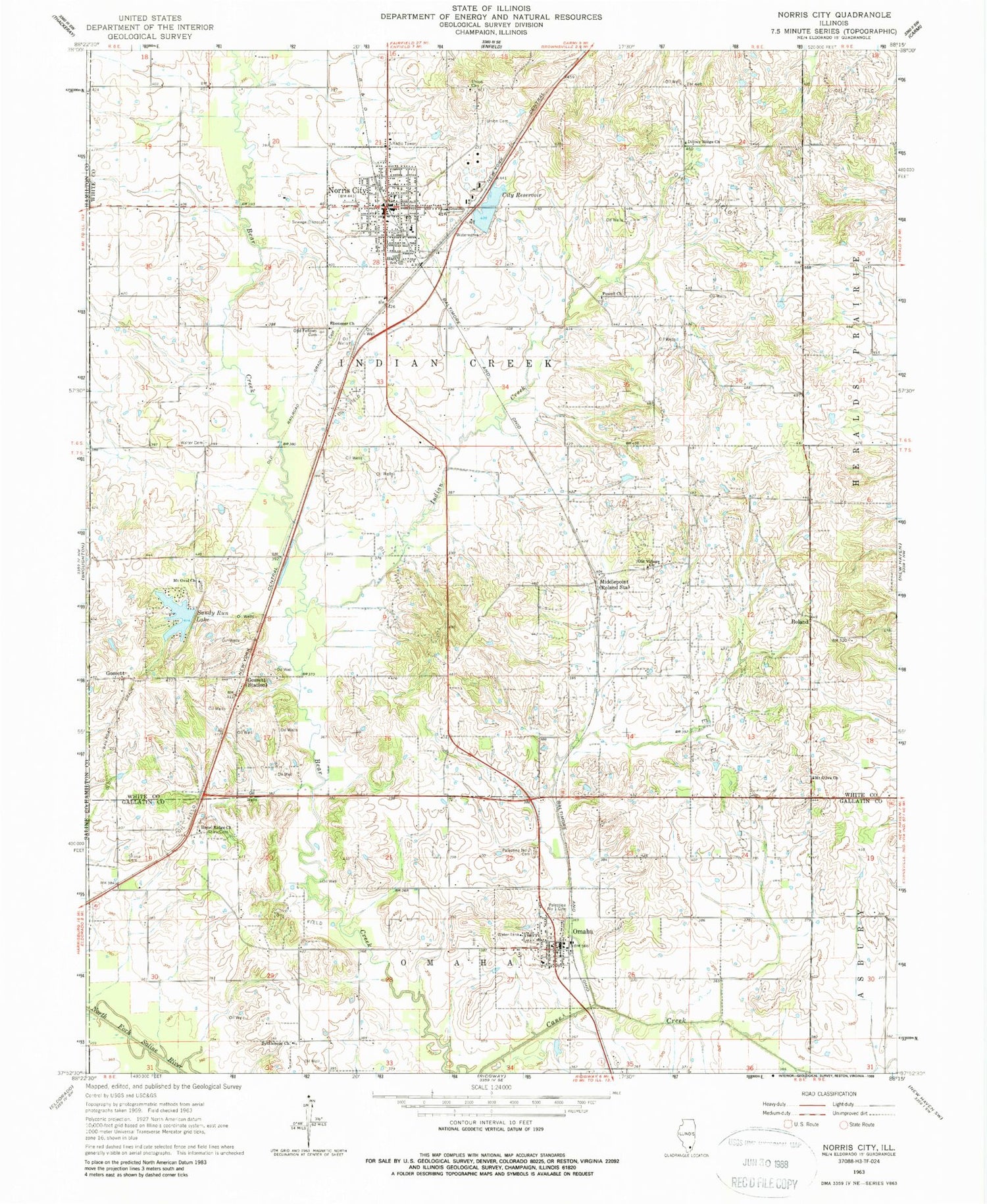
Classic USGS Norris City Illinois 7.5'x7.5' Topo Map
Couldn't load pickup availability
Historical USGS topographic quad map of Norris City in the state of Illinois. Map scale may vary for some years, but is generally around 1:24,000. Print size is approximately 24" x 27"
This quadrangle is in the following counties: Gallatin, Hamilton, Saline, White.
The map contains contour lines, roads, rivers, towns, and lakes. Printed on high-quality waterproof paper with UV fade-resistant inks, and shipped rolled.
Contains the following named places: Adkin Cemetery, Bethlehem Church, City Reservoir, Ditney Ridge Cemetery, Ditney Ridge Church, Ebenezer Cemetery, Ebenezer Church, Gossett, Gossett Station, Hazel Ridge Cemetery, Hazel Ridge Church, Independent Order of Odd Fellows Cemetery, Indian Creek, Middlepoint, Mount Olive Cemetery, Mount Olive Church, Mount Oval Church, Norris City, Norris City Ambulance Service, Norris City Fire Protection District, Norris City Post Office, Norris City Reservoir Dam, Norris City-Omaha-Enfield High School, Old Village Cemetery, Old Village Church, Omaha, Omaha City Reservoir, Omaha City Reservoir Dam, Omaha Fire Department, Omaha Post Office, Palestine Number 1 Cemetery, Palestine Number 2 Cemetery, Powell Church, Roland, Sandy Run Lake, Sandy Run Lake Dam, Shain Cemetery, Township of Indian Creek, Township of Omaha, Union Cemetery, Union Church, Village of Norris City, Village of Omaha, Walter Cemetery, ZIP Codes: 62869, 62871