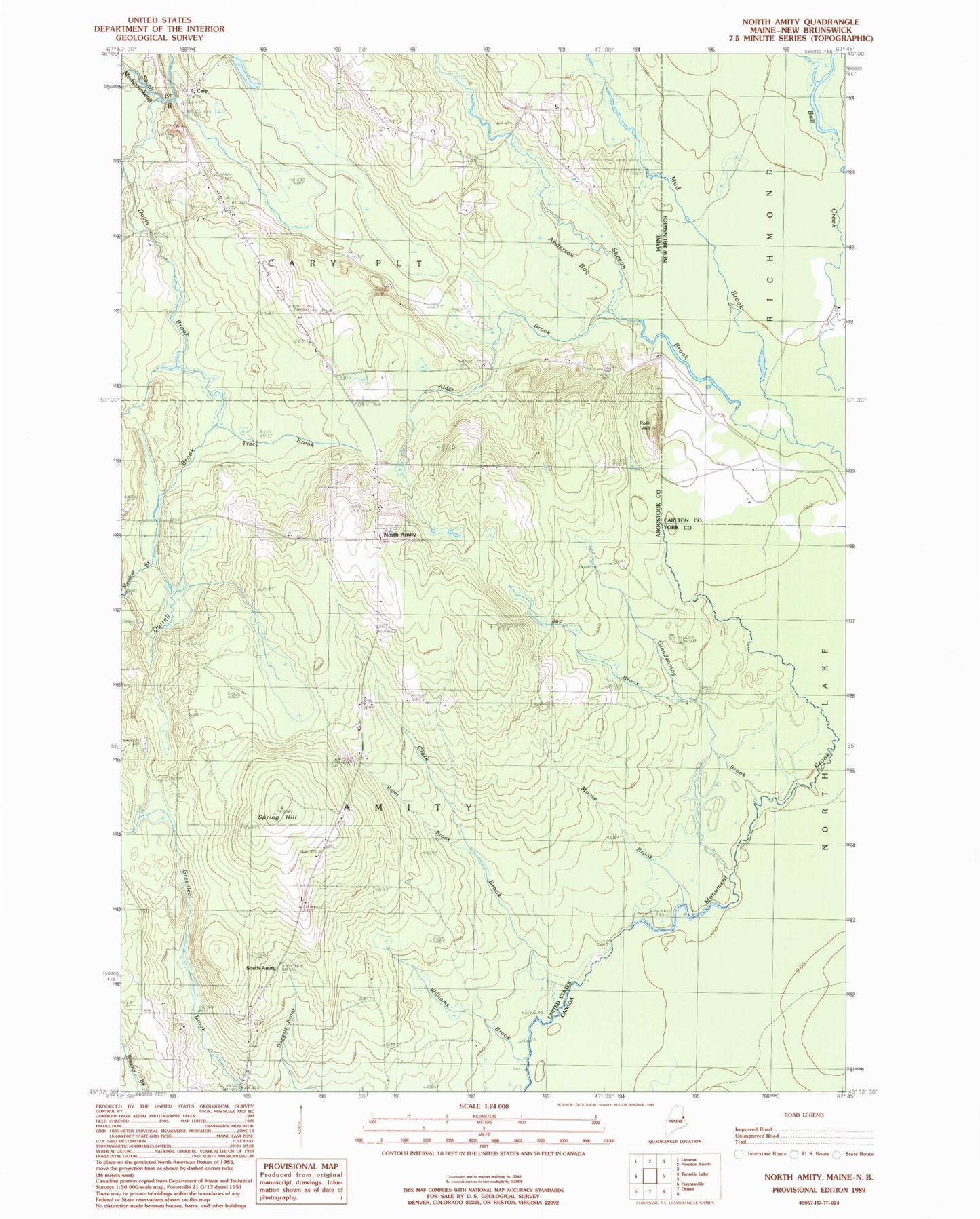
MyTopo
Classic USGS North Amity Maine 7.5'x7.5' Topo Map
Couldn't load pickup availability
Historical USGS topographic quad map of North Amity in the state of Maine. Map scale may vary for some years, but is generally around 1:24,000. Print size is approximately 24" x 27"
This quadrangle is in the following counties: Aroostook.
The map contains contour lines, roads, rivers, towns, and lakes. Printed on high-quality waterproof paper with UV fade-resistant inks, and shipped rolled.
Contains the following named places: Alder Brook, Amity Baptist Church, Amity Cemetery, Anderson Bog, Boles Brook, Cary, Cary Baptist Church, Cary Church, Clark Brook, Davis Brook, Durrell Brook, Glendenning Brook, Jay Brook, Meadow Brook, Moose Brook, Mud Brook, North Amity, Plantation of Cary, Pole Hill, Reed School, Saint Monicas Cemetery, Skedgell School, Smith School, South Amity, South Amity Cemetery, South Amity School, Spring Hill, Spurr Cemetery, Town of Amity, Tracy Brook, Williams Brook, ZIP Code: 04471