
MyTopo
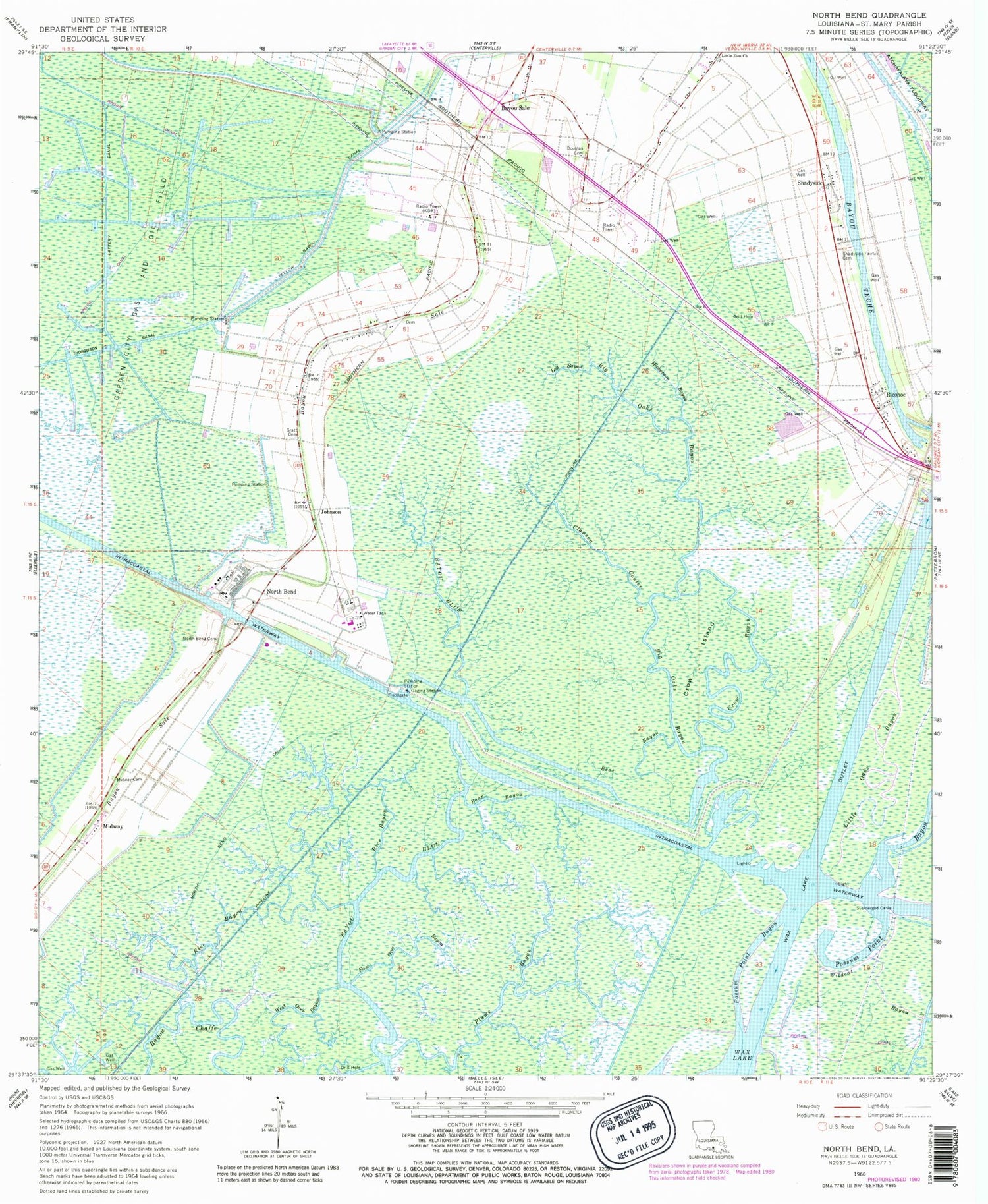
Classic USGS North Bend Louisiana 7.5'x7.5' Topo Map
Couldn't load pickup availability
Historical USGS topographic quad map of North Bend in the state of Louisiana. Map scale may vary for some years, but is generally around 1:24,000. Print size is approximately 24" x 27"
This quadrangle is in the following counties: St. Mary.
The map contains contour lines, roads, rivers, towns, and lakes. Printed on high-quality waterproof paper with UV fade-resistant inks, and shipped rolled.
Contains the following named places: Balco, Bayou Blue, Bayou Sale, Bear Bayou, Berwick Pocket, Bethel Bayou, Big Oaks Bayou, Cabot, Clausen, Clausen Coulee, Crow Bayou, Crow Island, Douglas Cemetery, East Over Bayou, Fairfax, Garden City Gas and Oil Field, Gratt Cemetery, Hickerson Bayou, Johnson, Lattery Canal, Little Oaks Bayou, Little Zion Church, Log Bayou, Maria, Maryland, Midway, Midway Cemetery, North Bend, North Bend Canal, North Bend Cemetery, Plume Bayou, Rice Bayou, Ricohoc, Saint Mary Parish, Saint Mary Parish Sheriff's Office, Shadyside, Shadyside - Fairfax Cemetery, Todd, Ward Four, Wax North Channel, Wax South Channel, West Over Bayou, Wildcat Bayou, Yellow Bayou Canal


