MyTopo
Classic USGS North Berwick Maine 7.5'x7.5' Topo Map
Couldn't load pickup availability
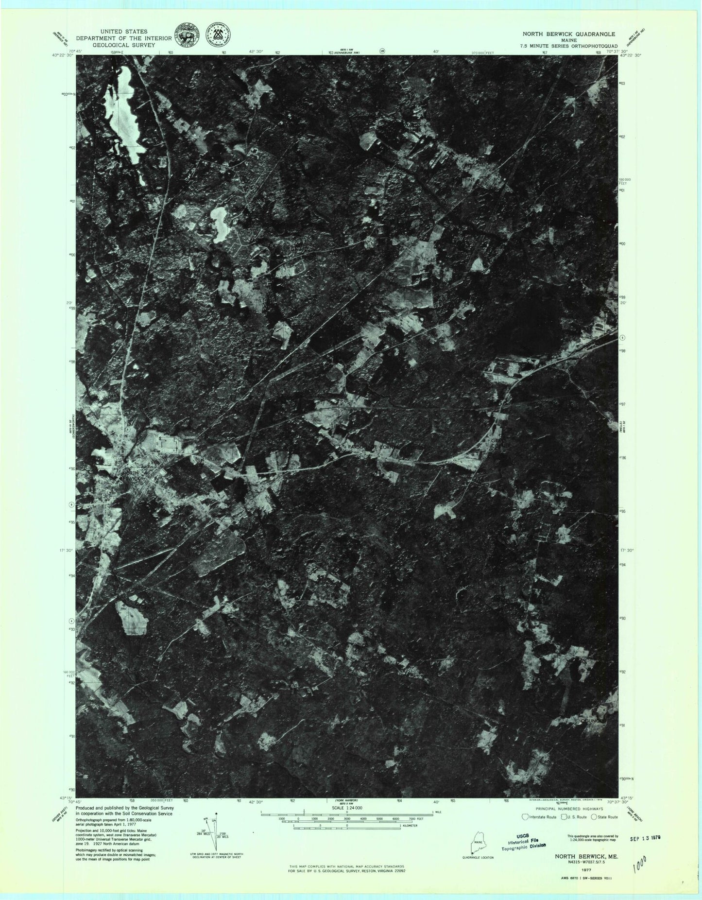
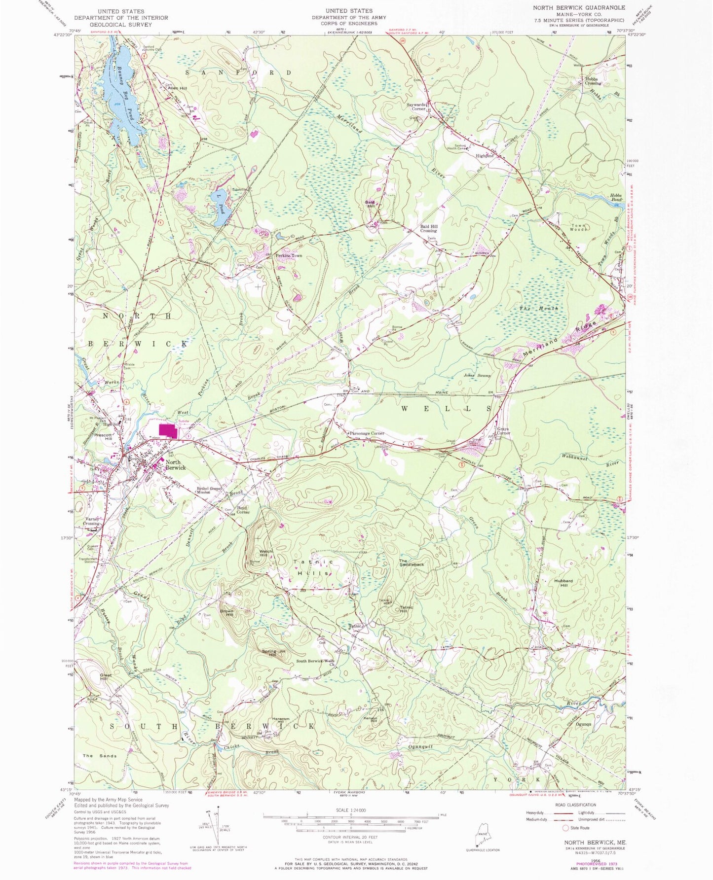
Historical USGS topographic quad map of North Berwick in the state of Maine. Map scale may vary for some years, but is generally around 1:24,000. Print size is approximately 24" x 27"
This quadrangle is in the following counties: York.
The map contains contour lines, roads, rivers, towns, and lakes. Printed on high-quality waterproof paper with UV fade-resistant inks, and shipped rolled.
Contains the following named places: Allen Hill, Amys Pond, Bald Hill, Bald Hill Crossing, Bald Hill Graveyard, Baston Lot Cemetery, Bauneg Beg Pond, Bauneg Beg Pond Dam, Bears Den Recreational Vehicle Park, Berwick Branch School, Bethel Gospel Mission, Blueberry Ridge Trailer Park, Boston Lot, Boyd Brook, Boyd Corner, Bragdpm Brook, Brown Hill, Chicks Brook, Clay Cemetery, Cole Gould Cemetery, D A Hurd Library, Dennett Brook, Douthy Falls Dam, Ed Hanscom Pond, Elm Brook Cemetery, First Congregational Church, Grays Corner, Great Hill, Great Works River Reservoir, Green Brook, Hanscom Hill, High Pine Baptist Church, Highpine, Hillside Cemetery, Hobbs Crossing, Hubbard Hill, Hussey Brook, Hussey Plow Company Dam, Johns Swamp, Kenyon Hill, Kimball - Williams - Jackson Cemetery, Little Pond, Littlefield Cemetery, Littlefield Lot, Merriland Ridge, Merriland Ridge Church, Mount Pleasant Cemetery, Neoutaque River Reservoir, Neoutaquet River, North Berwick, North Berwick Census Designated Place, North Berwick Elementary School, North Berwick Fire Department Central Station, North Berwick Fire Department Substation, North Berwick Police Department, North Berwick Post Office, Orris Falls, Orris Falls Conservation Area, Parsonage Corner, Perkins Brook, Perkins Town, Pratt and Whitney Protective Ambulance Services, Prescott Hill, Quaker Cemetery, Sanford Country Club, Sanford Health Camp, Saywards Corner, Smith Brook, South Berwick-Wells Church, Spring Hill, Staples Dam, Tatnic, Tatnic Hill, Tatnic Hills, The Heath, The Saddleback, The Sands, Town Woods, Town Woods Brook, Varney Crossing, Welch Hill, Wells Fire Department High Pine Station, Wells School, Wells School Number Nine, Wells School Number Seven, Wells School Number Six, Wells School Number Ten, Wells School Number Twelve, West Brook, Winn Lot, Winn Lot Cemetery, Winn Parsons Lot Cemetery, Zebelon Knight Hall, ZIP Code: 04090