MyTopo
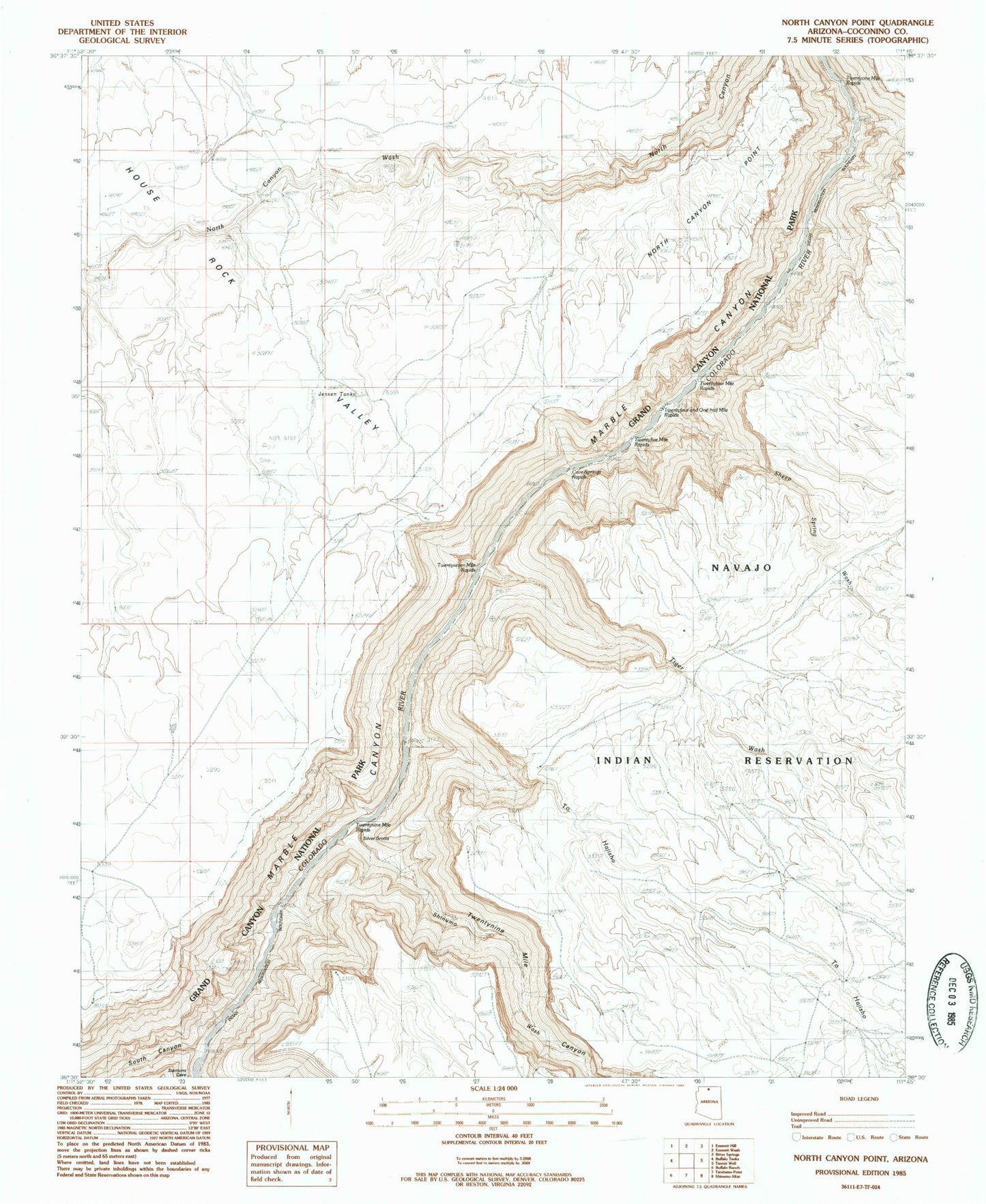
Classic USGS North Canyon Point Arizona 7.5'x7.5' Topo Map
Couldn't load pickup availability
Historical USGS topographic quad map of North Canyon Point in the state of Arizona. Typical map scale is 1:24,000, but may vary for certain years, if available. Print size: 24" x 27"
This quadrangle is in the following counties: Coconino.
The map contains contour lines, roads, rivers, towns, and lakes. Printed on high-quality waterproof paper with UV fade-resistant inks, and shipped rolled.
Contains the following named places: Cave Springs Rapids, North Canyon Point, Shinumo Wash, South Canyon, Tiger Wash, Hansbrough-Richards Rapid, Marble Canyon National Monument (historical), Twentynine Mile Canyon, Roundy Creek, Sheep Spring Wash, Twentynine Mile Rapids, Twentyseven Mile Rapids, Twentyfive Mile Rapids, Twentyfour and One-half Mile Rapids, Georgie Rapid, Twentyone Mile Rapids, Jensen Tanks, To Hajisho