MyTopo
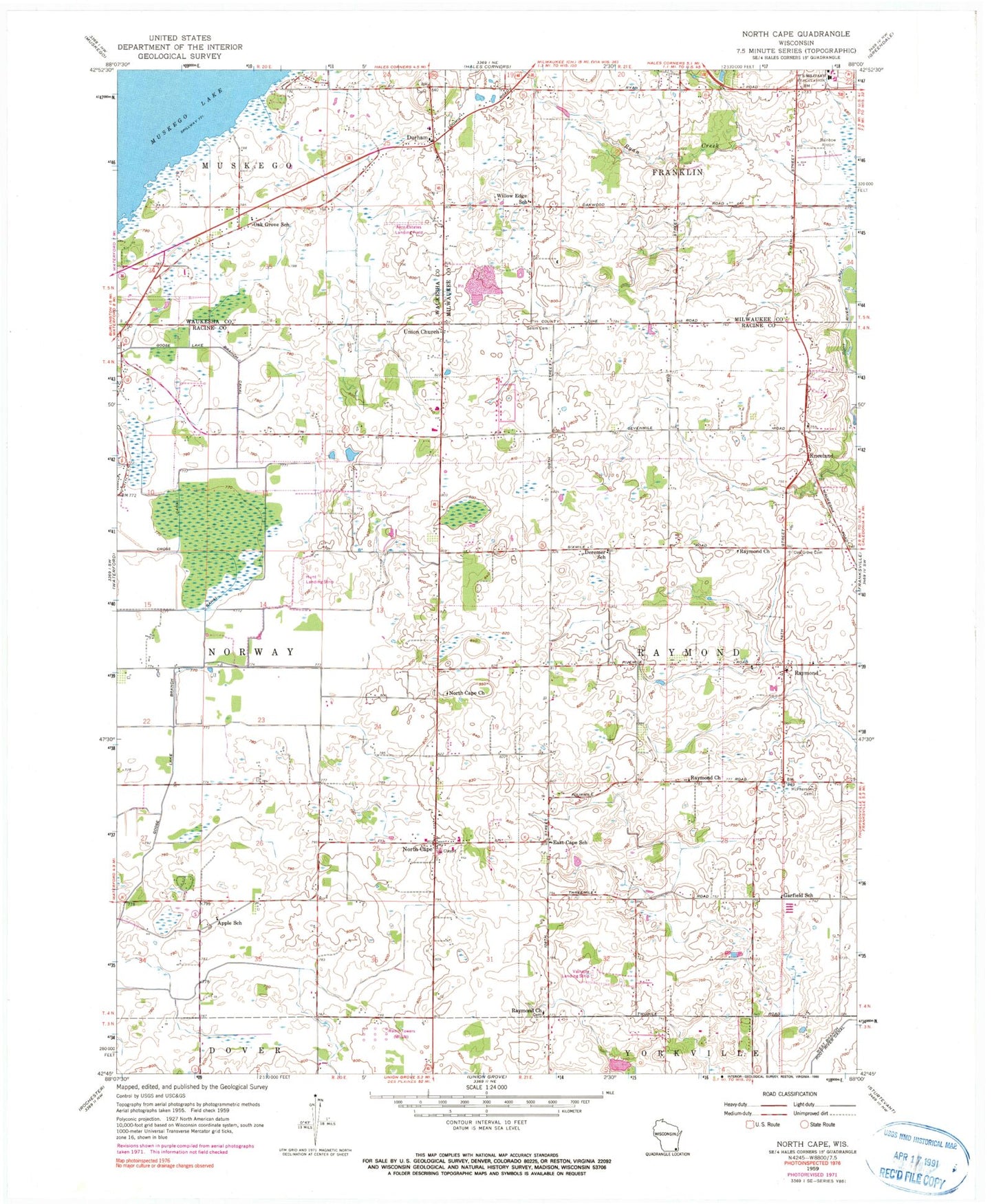
Classic USGS North Cape Wisconsin 7.5'x7.5' Topo Map
Couldn't load pickup availability
Historical USGS topographic quad map of North Cape in the state of Wisconsin. Map scale may vary for some years, but is generally around 1:24,000. Print size is approximately 24" x 27"
This quadrangle is in the following counties: Milwaukee, Racine, Waukesha.
The map contains contour lines, roads, rivers, towns, and lakes. Printed on high-quality waterproof paper with UV fade-resistant inks, and shipped rolled.
Contains the following named places: Aero Estates Airport, Aero Estates Landing Field, Apple School, Bethlehem Lutheran Church, Cindy Guntly Memorial Airport, Deremer School, Drought Elementary School, Durham, Durham Hill Nursery, East Cape School, Franklin Park Savanna State Natural Area, Garfield School, Goose Lake Branch Canal, Kneeland, Luther Parker Cemetery, McPherson Cemetery, Muskego Lakes County Club, North Cape, North Cape Elementary School, North Cape Lutheran Church, Oak Grove Cemetery, Oak Grove School, Rainbow Airport, Raymond, Raymond Baptist Church, Raymond Fire and Rescue Department, Raymond School, Raymond Seventh Day Adventist Church, Raymond Town Hall, Raymond United Church of Christ, Salem Cemetery, Tess Corners Volunteer Fire Department Station 2, Town of Raymond, Union Church, Valhalla Airport, Village of Raymond, WBZN-FM (Racine), Willow Edge School, WISN-AM (Milwaukee)


