MyTopo
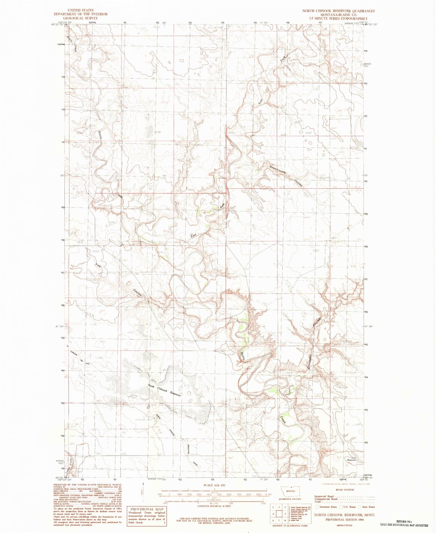
Classic USGS North Chinook Reservoir Montana 7.5'x7.5' Topo Map
Couldn't load pickup availability
Historical USGS topographic quad map of North Chinook Reservoir in the state of Montana. Map scale may vary for some years, but is generally around 1:24,000. Print size is approximately 24" x 27"
This quadrangle is in the following counties: Blaine.
The map contains contour lines, roads, rivers, towns, and lakes. Printed on high-quality waterproof paper with UV fade-resistant inks, and shipped rolled.
Contains the following named places: 35N56E25AC__11 Well, 35N56E25AC__12 Well, Boldt School, Burrell Coulee, Chouteau Coulee, Corregan Coulee, East Fork Battle Creek, Hamm School, Hopkins School, Korn Post Office, Link Coulee, Mister Flaming Jet Dam, North Chinook Dam, North Chinook Reservoir, North Star School, Ripley School, Royal Champion Dam, Scotchmans Coulee