MyTopo
Classic USGS North Coulee Montana 7.5'x7.5' Topo Map
Regular price
$16.95
Regular price
Sale price
$16.95
Unit price
per
Couldn't load pickup availability
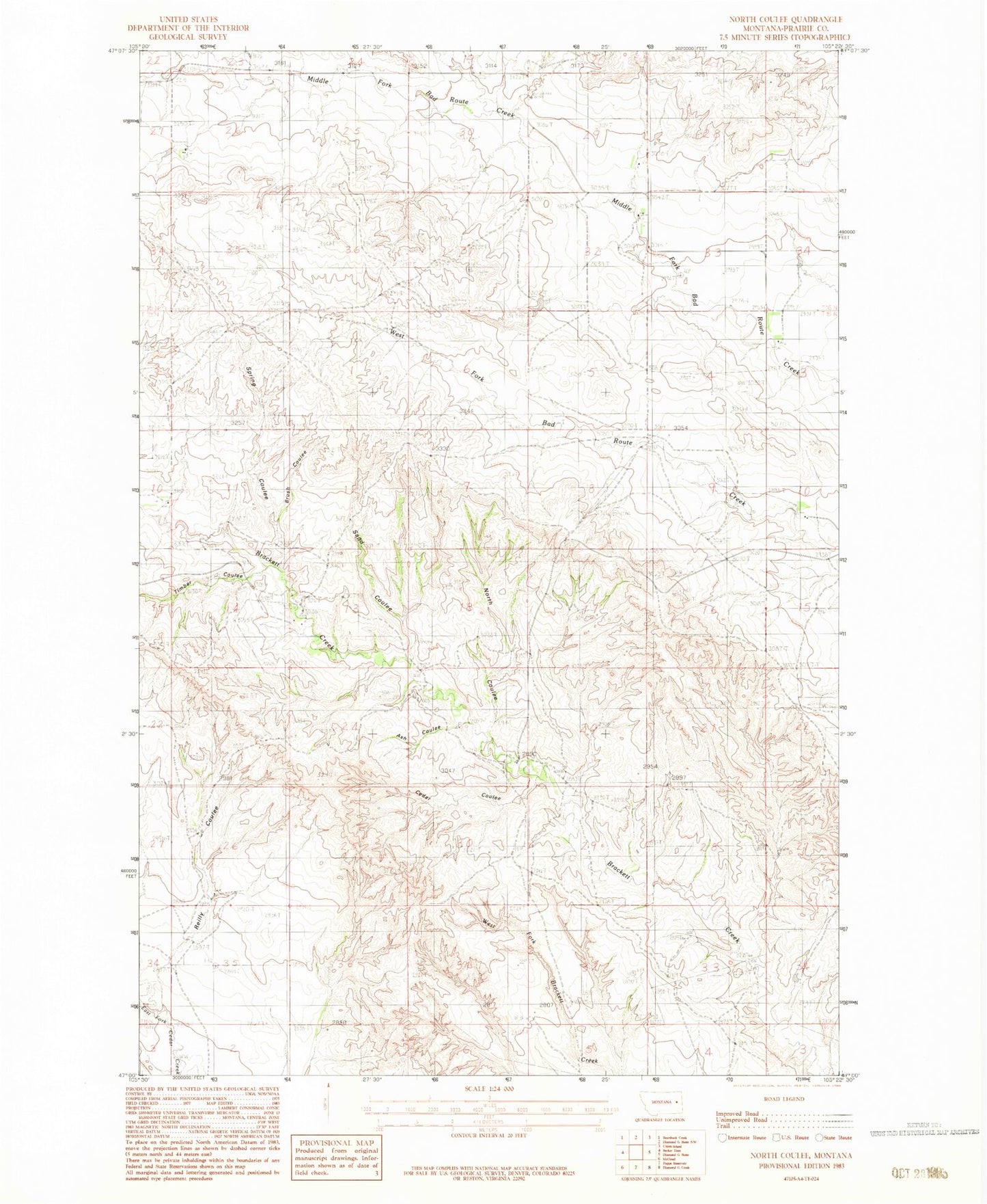
Historical USGS topographic quad map of North Coulee in the state of Montana. Map scale may vary for some years, but is generally around 1:24,000. Print size is approximately 24" x 27"
This quadrangle is in the following counties: Prairie.
The map contains contour lines, roads, rivers, towns, and lakes. Printed on high-quality waterproof paper with UV fade-resistant inks, and shipped rolled.
Contains the following named places: 15N49E14ADA_01 Well, 15N49E14BCA_01 Well, 15N50E17CAAA01 Well, 15N50E19BBAB01 Well, 15N50E31CDDA01 Well, 16N49E35DDA_01 Well, 16N50E28DAD_01 Well, Ash Coulee, Brush Coulee, Cedar Coulee, Dersham School, North Coulee, Reilly Coulee, Sand Coulee, Spring Coulee, Timber Coulee