MyTopo
Classic USGS North East Pennsylvania 7.5'x7.5' Topo Map
Couldn't load pickup availability
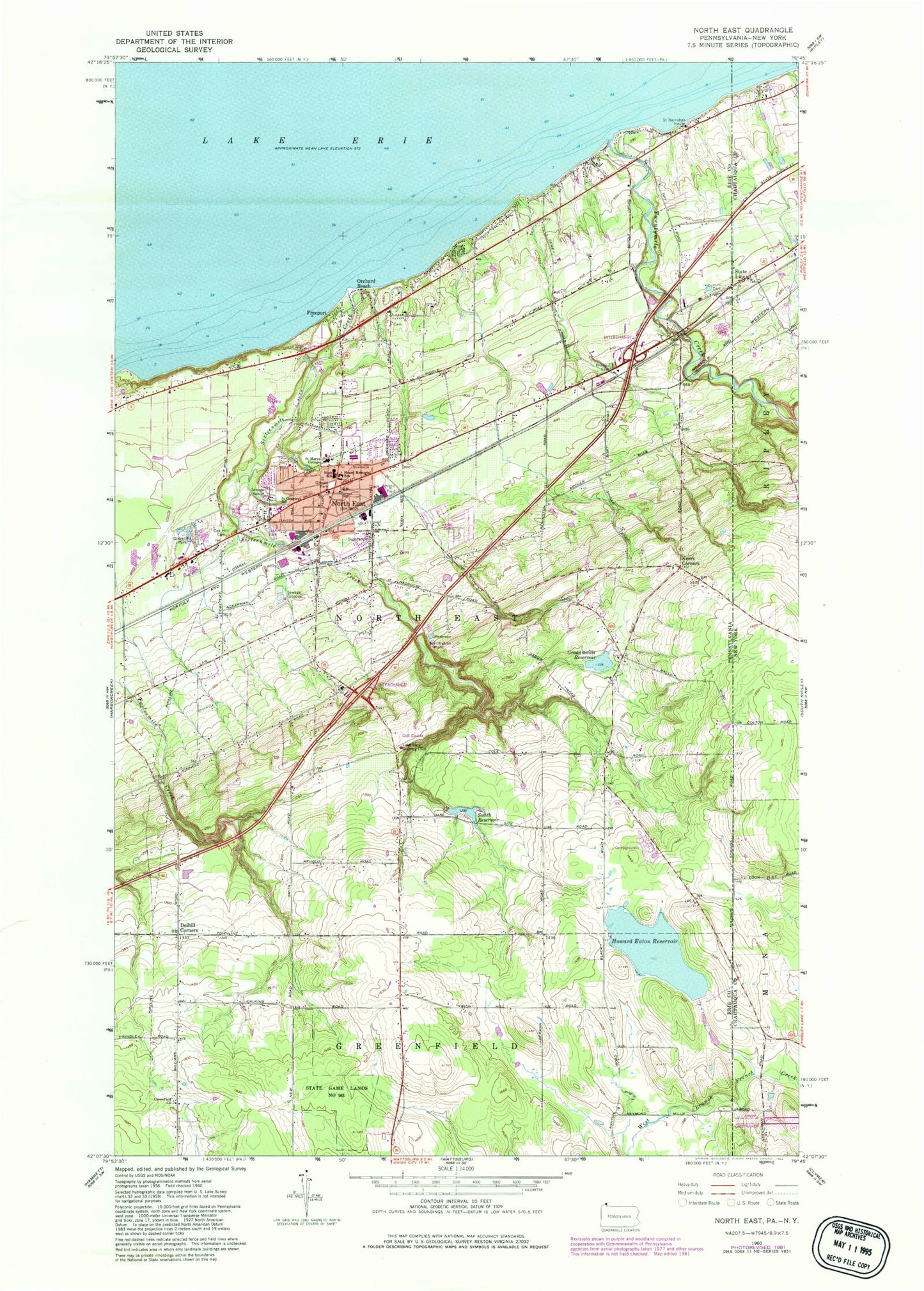
Historical USGS topographic quad map of North East in the state of Pennsylvania. Map scale may vary for some years, but is generally around 1:24,000. Print size is approximately 24" x 27"
This quadrangle is in the following counties: -.
The map contains contour lines, roads, rivers, towns, and lakes. Printed on high-quality waterproof paper with UV fade-resistant inks, and shipped rolled.
Contains the following named places: Borough of North East, Camp Cayuga Dam, Crescent Hose Company Station 21, Delhill Corners, Earl C Davis Elementary School, Eaton Dam, Freeport, Freeport Yacht Club, Fuller Hose Company North East Fire Department Erie County Station 20, Gay School, Gibson Park, Grahamville Cemetery, Grahamville Reservoir, Grahamville Reservoir Dam, Greenfield Church, Grimshaw Cemetery, Heard Memorial School, Hornby Cemetery, Howard Eaton Reservoir, Immanuel United Methodist Church, Kerrs Corners, Lake View Country Club, Merryhurst College, North East, North East Cemetery, North East Christian Academy, North East High School, North East Marina, North East Middle School, North East Police Department, North East Post Office, Northville Cemetery, Orchard Beach, Papermill Hollow Airport, Phillips Cemetery, Praise Cathedral Church of God, Saint Barnabas House, Saint Gregorys School, Saint Peters Church, Sixteenmile Creek, Smith Reservoir, State Game Lands Number 163, Township of North East, Twentymile Creek, WHYP-AM (North East), WRKT-FM 101, WRTS-FM 104, ZIP Code: 16428


