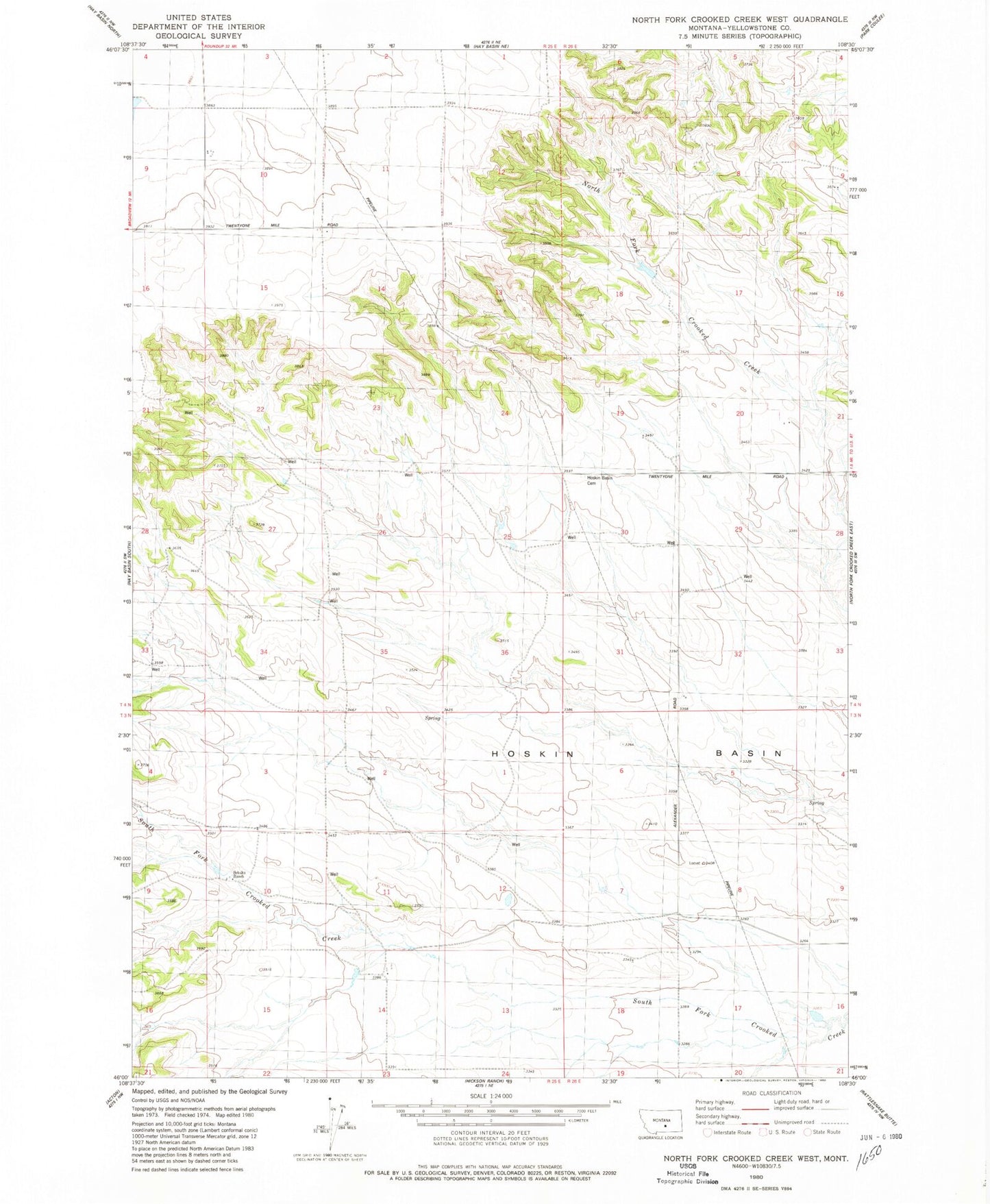
MyTopo
Classic USGS North Fork Crooked Creek West Montana 7.5'x7.5' Topo Map
Regular price
$16.95
Regular price
Sale price
$16.95
Unit price
per
Couldn't load pickup availability
Historical USGS topographic quad map of North Fork Crooked Creek West in the state of Montana. Map scale may vary for some years, but is generally around 1:24,000. Print size is approximately 24" x 27"
This quadrangle is in the following counties: Yellowstone.
The map contains contour lines, roads, rivers, towns, and lakes. Printed on high-quality waterproof paper with UV fade-resistant inks, and shipped rolled.
Contains the following named places: 03N25E04ABBC01 Well, 03N25E10BCDB01 Well, 03N26E07D___01 Well, 03N26E08B___01 Well, 04N25E14D___01 Well, 04N25E28BD__01 Well, 04N25E35BBCB01 Well, Conservation Reservoir Dam, Hoskin Basin, Hoskin Basin Cemetery, Schultz Ranch