MyTopo
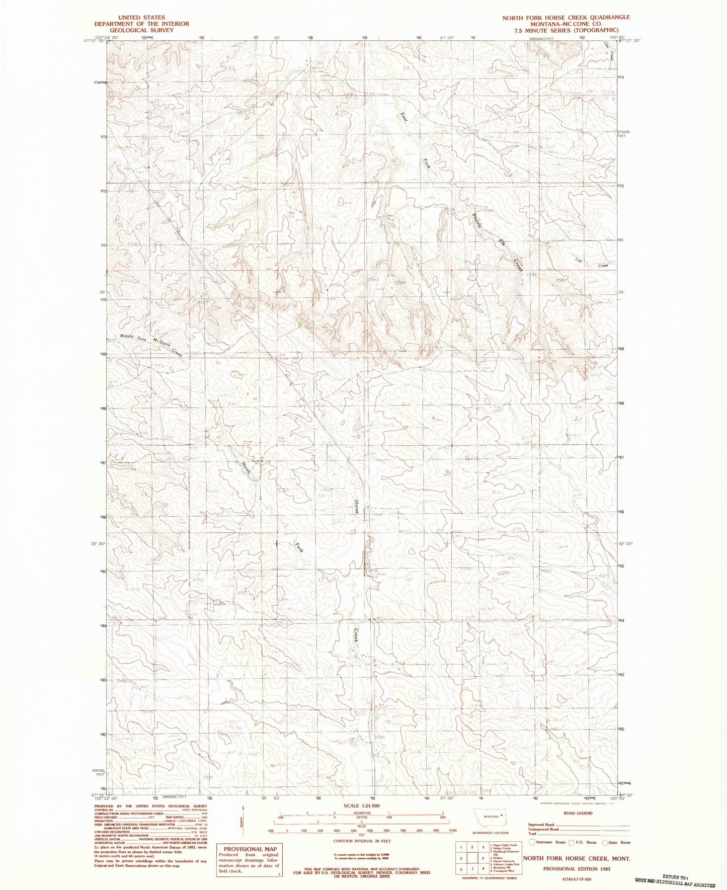
Classic USGS North Fork Horse Creek Montana 7.5'x7.5' Topo Map
Couldn't load pickup availability
Historical USGS topographic quad map of North Fork Horse Creek in the state of Montana. Map scale may vary for some years, but is generally around 1:24,000. Print size is approximately 24" x 27"
This quadrangle is in the following counties: McCone.
The map contains contour lines, roads, rivers, towns, and lakes. Printed on high-quality waterproof paper with UV fade-resistant inks, and shipped rolled.
Contains the following named places: 20N46E02ADCD01 Well, 20N46E04CACC01 Well, 20N46E09BDDC01 Well, 20N46E11AACC01 Well, 20N46E11ADBC01 Well, 21N46E05AABA01 Well, 21N46E09CDBC01 Well, 21N46E15ADDA01 Well, 21N46E17BCDA01 Well, 21N46E19BCDA01 Well, 21N46E24CDCA01 Well, 21N46E25CAAC01 Well, 21N46E29AACA01 Well, 21N46E29ACDA01 Well, 21N46E29DCCB01 Well, 21N46E30BACC01 Well, 21N46E32CCAA01 Well, 21N46E32CCCC01 Well, 22N46E33DBBD01 Well, 59215, Breitbach Number 1 Dam, Breitbach Number 2 Dam, Breitbach Number 3 Dam, Breitbach Number 4 Dam, Breitbach Number 5 Dam, Breitbach Number 6 Dam, Breitbach Number 7 Dam, Gibbs Number 1 Dam