MyTopo
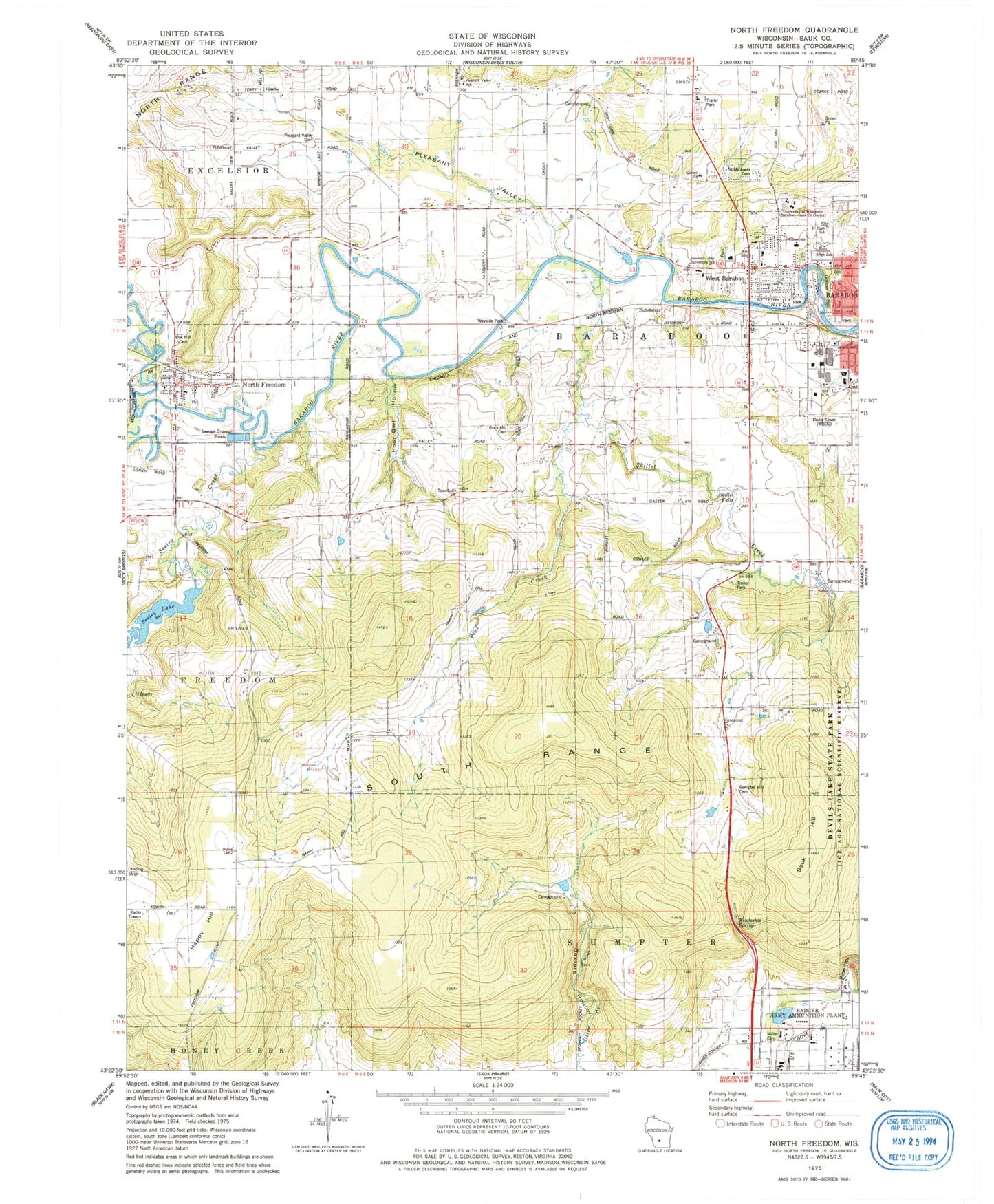
Classic USGS North Freedom Wisconsin 7.5'x7.5' Topo Map
Couldn't load pickup availability
Historical USGS topographic quad map of North Freedom in the state of Wisconsin. Typical map scale is 1:24,000, but may vary for certain years, if available. Print size: 24" x 27"
This quadrangle is in the following counties: Sauk.
The map contains contour lines, roads, rivers, towns, and lakes. Printed on high-quality waterproof paper with UV fade-resistant inks, and shipped rolled.
Contains the following named places: Baxters Hollow, Happy Hill, Hoot Owl Hollow, Kindschis Spring, Miller Cemetery, North Freedom, Oak Hill Cemetery, Ochsner Park, Pine Creek, Pine Hollow, Pleasant Valley, Pleasant Valley Cemetery, Pleasant Valley School, Rock Hill Cemetery, Saint Michaels Cemetery, Sauk Hill, Seeley Creek, Seeley Lake, Skillet Creek, Skillet Falls, South Range, Sumpter Hill Cemetery, University of Wisconsin Baraboo - Sauk County Center, West Baraboo, Willson Elementary School, Thiessen Field, WRPQ-AM (Baraboo), Town of Baraboo, Village of North Freedom, Village of West Baraboo, Schraums Dam, Seeley Lake 31, Attridge Park, Baraboo High School, Jack Young Middle School, Bethel Memorial Baptist Church, Church of God, Fairview School (historical), Happy Hill School (historical), Haskins Park, Mary Roundtree Evans Athletic Field, North Freedom Elementary School, Pewits Nest School (historical), Skillet Creek School (historical), Baxter's Hollow State Natural Area, McGilvra Woods State Natural Area, Pewits Nest State Natural Area, Black Hawk Manor, Honey Boy Mobile Home Park, Ski-Hi Fruit Farm, North Freedom Fire Department, Brown Pit Number 1, Baraboo Hills Elementary School, Sauk County Law Enforcement Center, Sauk County Jail, North Freedom Post Office


