MyTopo
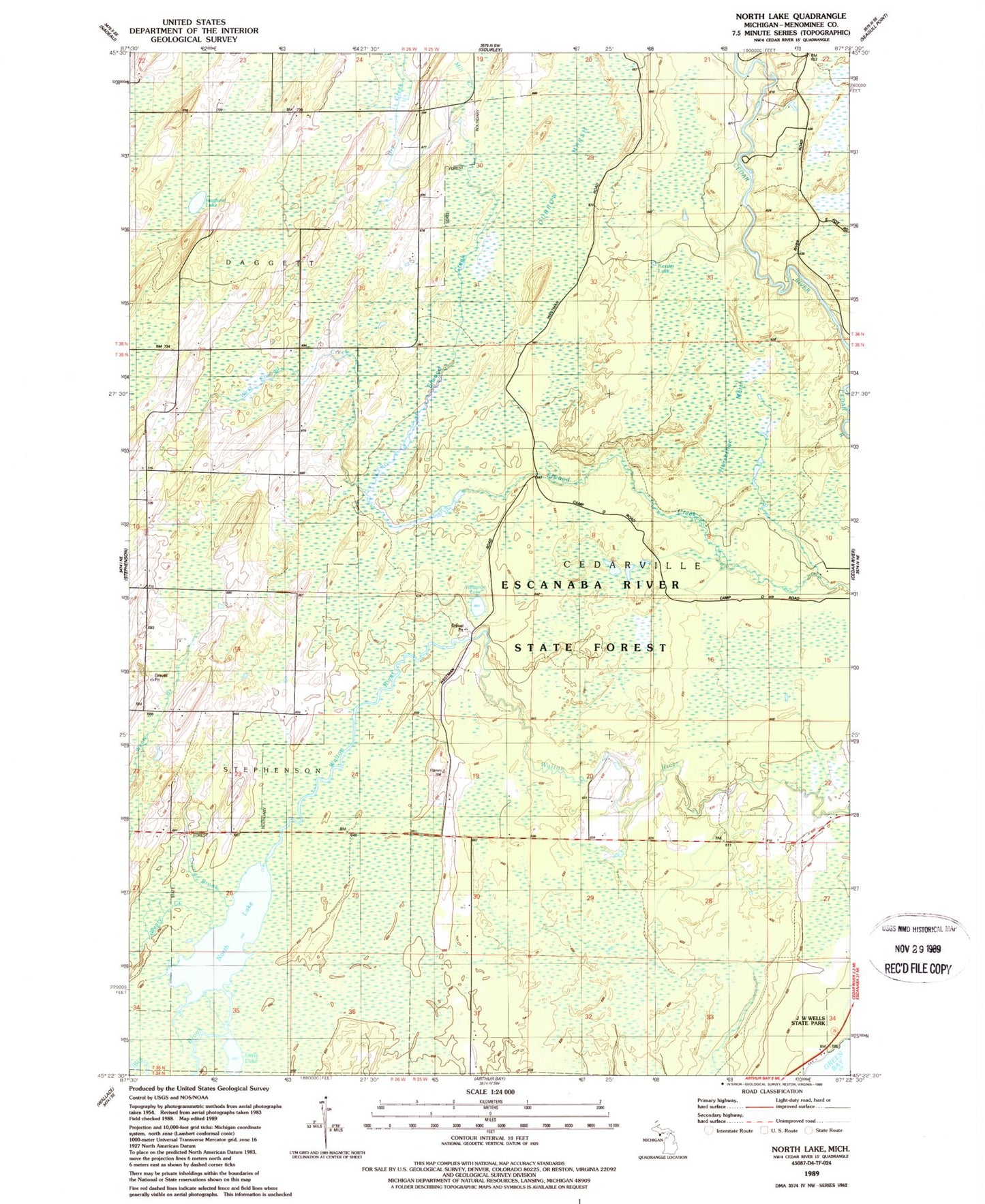
Classic USGS North Lake Michigan 7.5'x7.5' Topo Map
Couldn't load pickup availability
Historical USGS topographic quad map of North Lake in the state of Michigan. Map scale may vary for some years, but is generally around 1:24,000. Print size is approximately 24" x 27"
This quadrangle is in the following counties: Menominee.
The map contains contour lines, roads, rivers, towns, and lakes. Printed on high-quality waterproof paper with UV fade-resistant inks, and shipped rolled.
Contains the following named places: Big Brook, Cedar River North State Forest Campground, Crystal Brook, Dry Creek, Durrow Marsh, Green Bay, Hannahville Indian Community, Hoglund Lake, Horseshoe Marsh, Kessler Lake, Little Lake, Mill Creek, North Lake, Township of Cedarville, Weary Creek, West Elwood Creek, Westman Lake