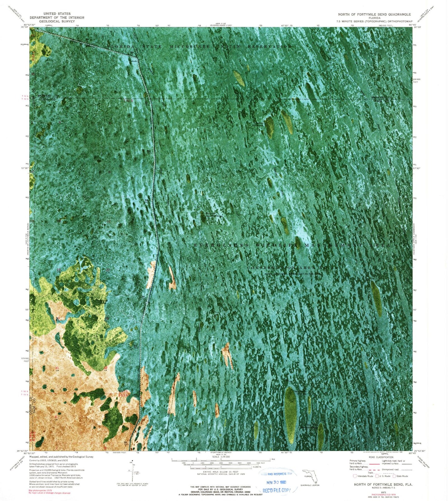
MyTopo
Classic USGS North of Fortymile Bend Florida 7.5'x7.5' Topo Map
Regular price
$16.95
Regular price
Sale price
$16.95
Unit price
per
Couldn't load pickup availability
Historical USGS topographic quad map of North of Fortymile Bend in the state of Florida. Map scale may vary for some years, but is generally around 1:24,000. Print size is approximately 24" x 27"
This quadrangle is in the following counties: Broward, Collier, Miami-Dade.
The map contains contour lines, roads, rivers, towns, and lakes. Printed on high-quality waterproof paper with UV fade-resistant inks, and shipped rolled.
Contains the following named places: Choctaw Hammock, Levee 28 Tieback, Mart Law Seminole Village, Panther Camp, Sam Franks Old Farm, Sam Willie Seminole Village