MyTopo
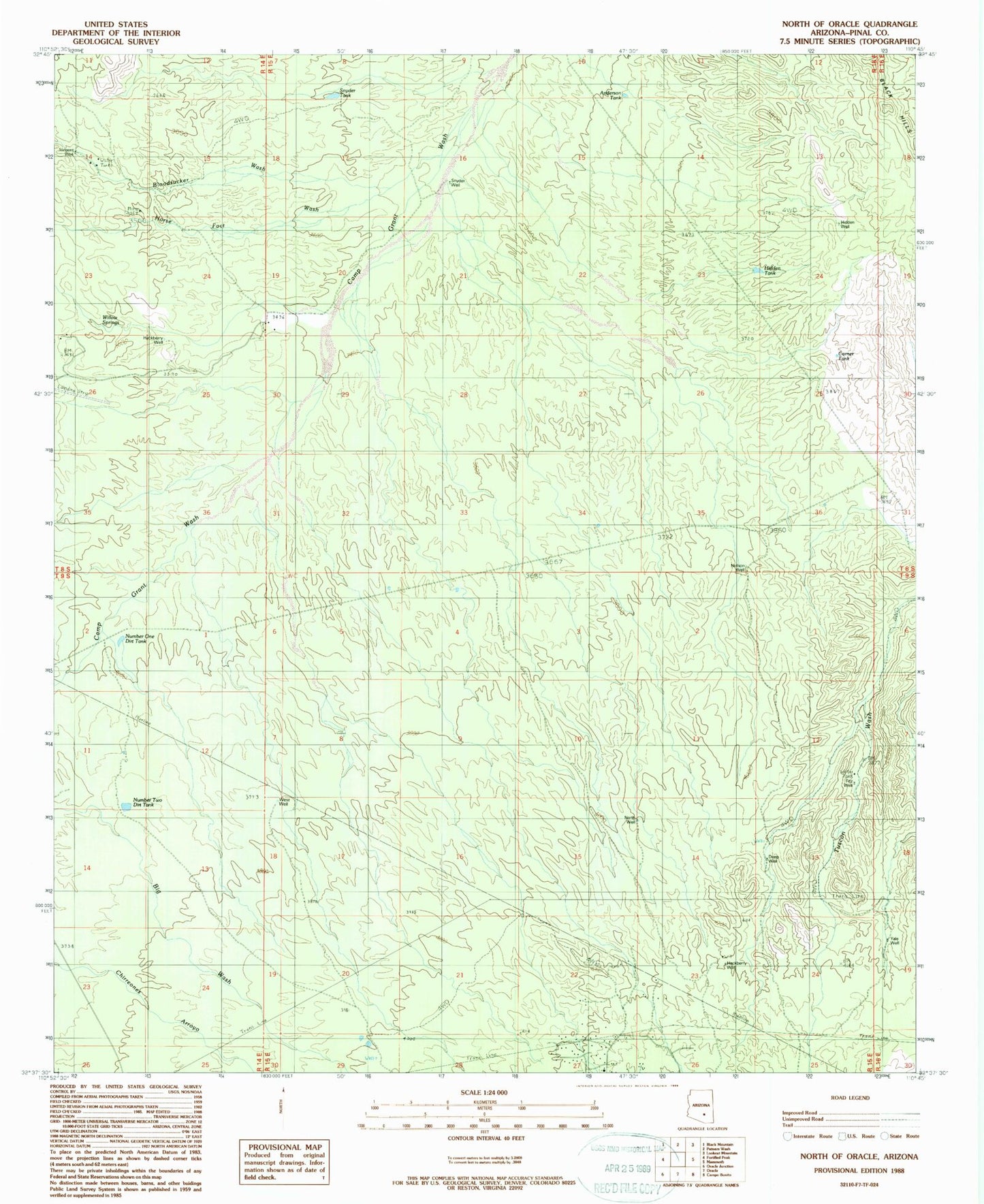
Classic USGS North of Oracle Arizona 7.5'x7.5' Topo Map
Couldn't load pickup availability
Historical USGS topographic quad map of North of Oracle in the state of Arizona. Map scale may vary for some years, but is generally around 1:24,000. Print size is approximately 24" x 27"
This quadrangle is in the following counties: Pinal.
The map contains contour lines, roads, rivers, towns, and lakes. Printed on high-quality waterproof paper with UV fade-resistant inks, and shipped rolled.
Contains the following named places: Anderson Tank, Bloodsucker Wash, Corner Tank, Deep Well, Fitz Well, Hackberry Well, Hidden Well, Horse Foot Wash, Nelson Well, North Well, Number One Dirt Tank, Number Two Dirt Tank, Sargent Well, Snyder Tank, Snyder Well, The Lower Ranch, Triangle L Ranch, West Well, Willow Springs, Willow Springs Ranch, Yale Well, ZIP Code: 85623