MyTopo
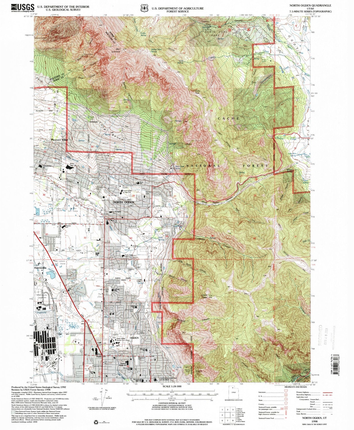
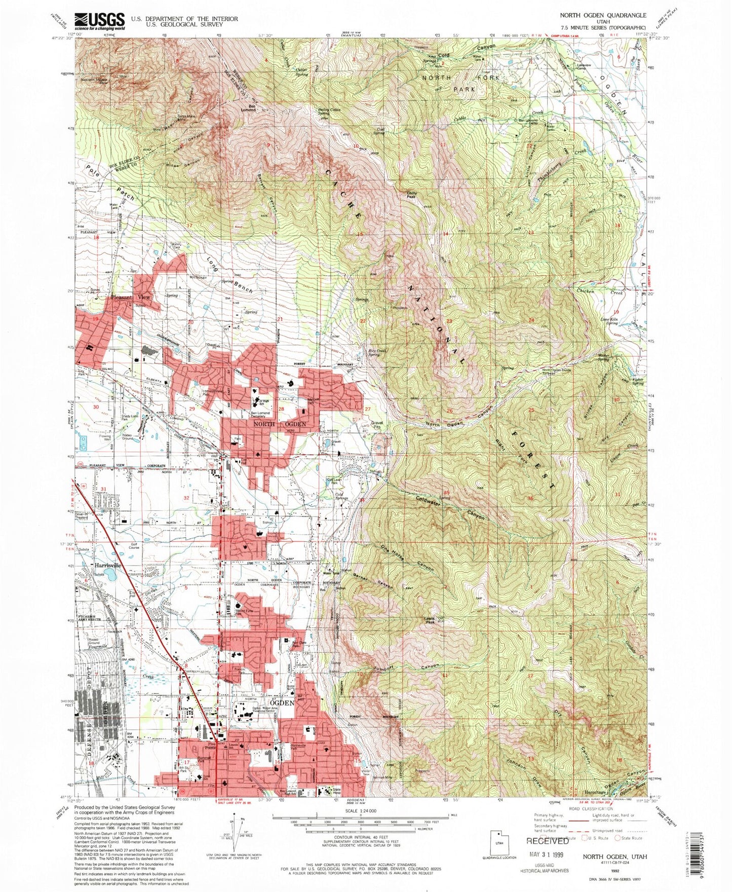
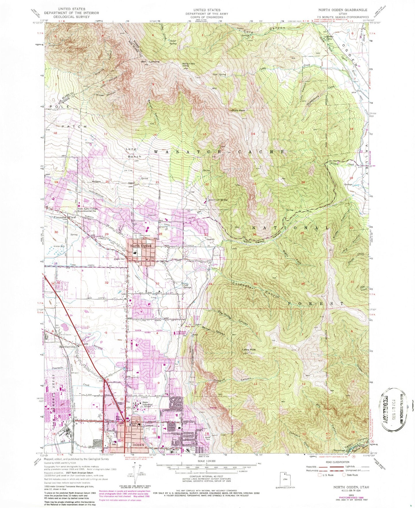
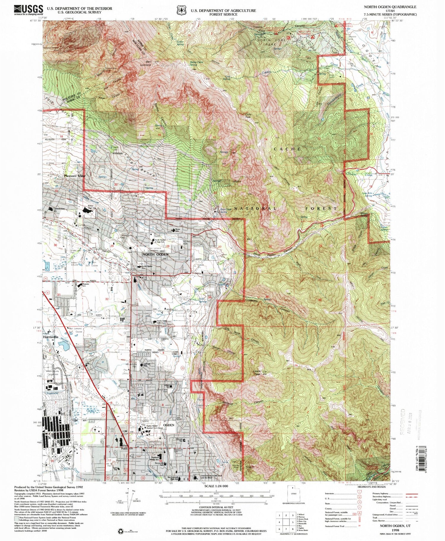
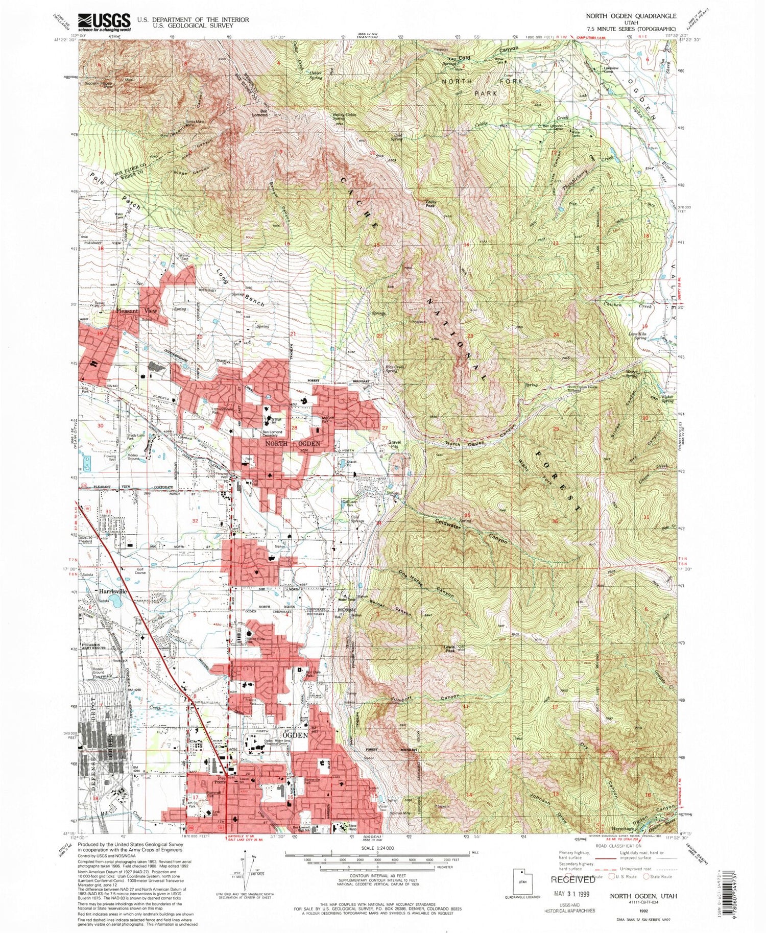
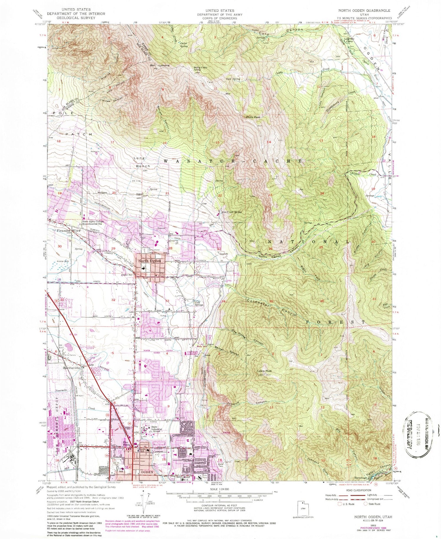
Classic USGS North Ogden Utah 7.5'x7.5' Topo Map
Couldn't load pickup availability
Historical USGS topographic quad map of North Ogden in the state of Utah. Typical map scale is 1:24,000, but may vary for certain years, if available. Print size: 24" x 27"
This quadrangle is in the following counties: Box Elder, Weber.
The map contains contour lines, roads, rivers, towns, and lakes. Printed on high-quality waterproof paper with UV fade-resistant inks, and shipped rolled.
Contains the following named places: Thimbleberry Creek, Bailey Cabin Spring, Barrett Canyon, Ben Lomond, Ben Lomond Cemetery, Bridge Canyon, Chilly Peak, Cobble Creek, Cold Canyon, Cold Spring, Cold Springs, Coldwater Canyon, Cutler Spring, Dry Canyon, Dry Canyon, Five Points, Flat Canyon, Fourth Street Park, Garner Canyon, Harrisville, Hermitage, Jumpoff Canyon, Lakeview Camp, Lewis Peak, Lincoln Elementary School, Little Canyon, Long Bench, Lynn School, Maguire Canyon, North Ogden, North Ogden Canal, North Ogden Canyon, Ogden Brigham Canal, One Horse Canyon, Pine Canyon, Pleasant View, Pole Patch, Rice Creek, Rice Creek Spring, Ridge Canyon, Right Fork North Ogden Canyon, Smoot Park, Weber High School, Western Canal, Weber County, Bates Elementary School, Green Acres Elementary School, Highland Junior High School, Lomond View Elementary School, North Ogden Junior High School, North Ogden Peak, North Ogden Elementary School, Jehovahs Witnesses Ogden Congregation, Cold Water Picnic Area, North Ogden Divide Trailhead, Apostolic Assembly Church, Ascension Lutheran Church, Emmanuel Baptist Church, Mountain Valley Church of God, Ogden Buddhist Church, Saint James Catholic Church, Trinity Evangelical Free Church, Trinity Presbyterian Church, Valley View Baptist Church, The Church of Jesus Christ of Latter Day Saints, The Church of Jesus Christ of Latter Day Saints, The Church of Jesus Christ of Latter Day Saints, The Church of Jesus Christ of Latter Day Saints, The Church of Jesus Christ of Latter Day Saints, The Church of Jesus Christ of Latter Day Saints, The Church of Jesus Christ of Latter Day Saints, The Church of Jesus Christ of Latter Day Saints, The Church of Jesus Christ of Latter Day Saints, The Church of Jesus Christ of Latter Day Saints, The Church of Jesus Christ of Latter Day Saints, The Church of Jesus Christ of Latter Day Saints, The Church of Jesus Christ of Latter Day Saints, The Church of Jesus Christ of Latter Day Saints, The Church of Jesus Christ of Latter Day Saints, The Church of Jesus Christ of Latter Day Saints, Bingham Fort (historical), Colonial Hills, Cherry Hill Addition, Edgemont, Simoran Park Addition, Alta Vista, Rockcliff Addition, Romney Addition, Sheridan Heights, Stettler, Vesticor, East Ridge, Esquire, Northwood Homes, Academy Heights Addition, El Rancho Ogden Addition, Mountain Crest, Jumpoff Canyon, Packer Place, Cliff Heights, Avalon Hills, Tamarack, Mountain Road Estates, Majestic View Homes, Ron Clare Village, Parkwood Estates, Otto Berger Addition, Urban Estates Mobile, Academy Heights, Cropseys Addition Two, Cropseys Addition Three, Cinnamon Park, Willowcreek, Washington Avenue Addition, Ye Olde Farm, Lexington Square, Woodfield Estates, Hunting Creek, Mount Lewis, Keystone Acres, Meadowlark Meadows, Mystic Mountain, Eyrie Meadows, Green Meadows, Greenfield, Green Acres Estates, Carriage Hill Estates, Meadow Homes, South El Rancho, Carr, Wm Lunds Lynne Addition, East Lynne Addition, Sherwood Park Addition, Paradise Acres, Townside Park, Shady Brook, Lefgren, Quail Run, Sun Crest Heights, North Park, Melody Lane, Myers Addition, Monterey Addition, Drumilers Addition, Lomond View Addition, Downs, Wedells Five Point Addition, Orchard Grove Annex, Garfield Addition, Orchard Grove Addition, Walnut Hill Addition, Hale Annex, Model Addition, Pleasant Acres, Irene, Anderwood Estates, Majestic Heights, Majestic Heights Ten, Sunny Slope, Indian Hills, Skyline Estates, Circle View, Mountain Estates, Camarren Cove Estates, W S Butler, Lakeview Heights, Mountain Orchard Estates, Mountain Shadows, Cottonwood Heights, Cobble Creek Park, Heritage Grove, Best View Estates, Cold Water Estates, Stone Creek, Jillville, North Ogden Ranchettes, Scott Dale, Fairway Park, Misty Meadows, Mountain Meadows Estates, Loma Linda, Lomond Acres, Paradise Hills, Bailey, Mesa Del Monte, Taylor Estates, Weber View, Fairfield Acres, De Bloois, Hill Top, Marvella Heights, Ben Lomond Park, North Oaks, North Heights, Northridge, Larson Park, Hi Vista, Mount Lomond Estates, Cherrywood, Lancer Acres, Scottish Highlands, Protzman, Rayann, Simmons, Willowbrook, Spring Mountain Ranchettes, State Agricultural Experimental Station, The Church of Jesus Christ of Latter Day Saints, Ben Lomond Camp, Mount Eyrie Meadows, North Ogden Canyon Trail Head, Skyline Trail, Weber County North Fork Park, Ben Lomond Post Office, The Family Center, City of Harrisville, City of North Ogden, Bonneville Park, Bonneville Elementary School, Utah Schools for the Deaf and Blind - Kenneth C Burdett School of the Deaf, Hillcrest Elementary School, Ogden - Weber Applied Technology College, North View Fire Agency, Ogden City Fire Department Station 6, Ogden City Fire Department Station 3, Harrisville Police Department, North Ogden Police Department, Pleasant View City Police Department, Utah Highway Patrol Section 2 Ogden Office, Evergreen Memorial Park, Thimbleberry Creek, Bailey Cabin Spring, Barrett Canyon, Ben Lomond, Ben Lomond Cemetery, Bridge Canyon
