MyTopo
USGS Classic North Palisade California 7.5'x7.5' Topo Map
Couldn't load pickup availability
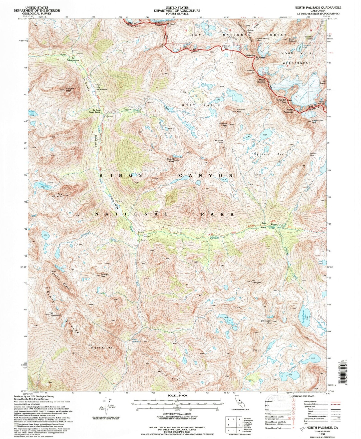
Historical USGS topographic quad map of North Palisade in the state of California. Scale: 1:24000. Print size: 24" x 27"
This quadrangle is in the following counties: Fresno, Inyo.
The map contains contour lines, roads, rivers, towns, lakes, and grids including latitude / longitude and UTM / MGRS. Printed on high-quality waterproof paper with UV fade-resistant inks.
Contains the following named places: Agassiz Col, Mount Agassiz, Amphitheater Lake, Barrett Lakes, Big Pete Meadow, Bishop Lake, Bishop Pass, Cataract Creek, Columbine Peak, Deer Meadow, Devils Washbowl, Doe Lake, Dumbbell Lakes, Dusy Basin, Dusy Branch, Giraud Peak, Glacier Creek, Mount Goode, Great Cliffs, Grouse Meadows, Hester Lake, Jigsaw Pass, Knapsack Pass, Ladder Lake, Langille Peak, Le Conte Canyon, Little Pete Meadow, North Palisade, Observation Peak, Palisade Basin, Palisade Glacier, Rainbow Lakes, Rambaud Creek, Sam Mack Lake, Mount Shakspere, The Citadel, Thunderbolt Peak, Mount Winchell, Windy Cliff, Mount Woodworth, Palisade Creek, Polemonium Peak, Mount Sill, Devils Crags, Isosceles Peak, Rambaud Peak, Sam Mack Meadow, Le Conte Ranger Station, Aperture Peak, Mount Robinson, Potluck Pass


