MyTopo
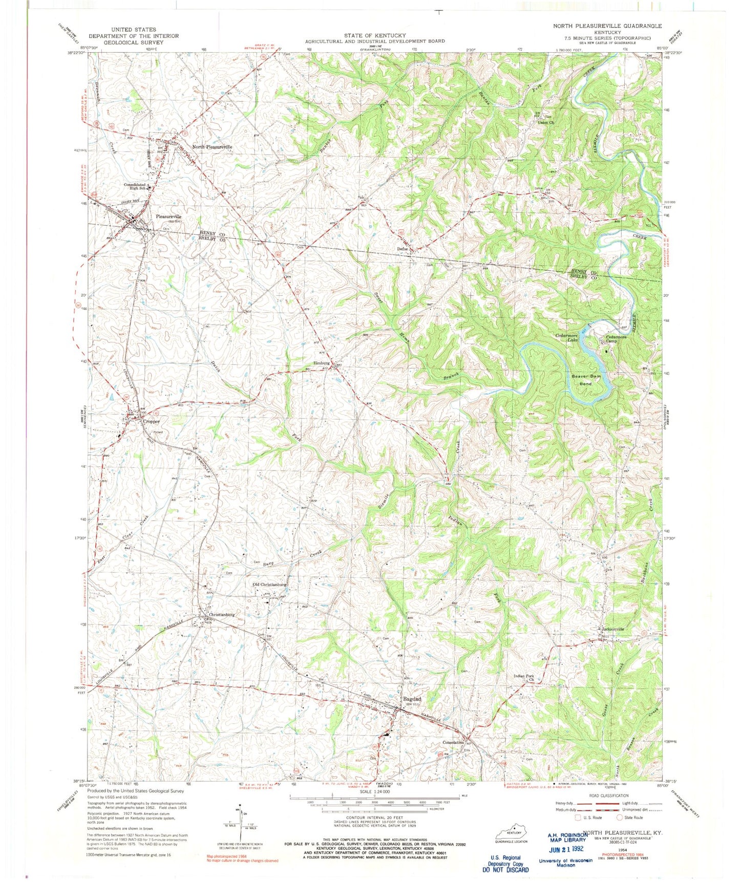
Classic USGS North Pleasureville Kentucky 7.5'x7.5' Topo Map
Couldn't load pickup availability
Historical USGS topographic quad map of North Pleasureville in the state of Kentucky. Map scale may vary for some years, but is generally around 1:24,000. Print size is approximately 24" x 27"
This quadrangle is in the following counties: Henry, Shelby.
The map contains contour lines, roads, rivers, towns, and lakes. Printed on high-quality waterproof paper with UV fade-resistant inks, and shipped rolled.
Contains the following named places: Bagdad, Bagdad Fire Protection District, Bagdad Fire Protection District Station 2, Bagdad Post Office, Bagdad Railroad Station, Bagdad School, Banta - Bonta Cemetery, Beaver Dam Bend, Beaver Dam Creek, Boulware Post Office, Boulware Railroad Stop, Burg Creek, Cedarmore Camp, Cedarmore Lake, Cedarmore Lake Dam, Cherry Hill Airport, Christianburg, Christianburg Division, Christiansburg Depot, Christiansburgh Post Office, City of Pleasureville, Consolation, Consolation Post Office, Consolation Railroad Station, Consolidated High School, Cropper, Cropper Post Office, Croppers Depot, Defoe, Defoe Post Office, Dutch Fork, Dutch Tract Cemetery, Elmburg, Elmburg Post Office, Elmburg School, Gill Cemetery, Goose Creek, Graves School, Indian Fork, Indian Fork Baptist Church, Jacksonville, Mitchell Post Office, Monfort Cemetery, Mount Pleasant Baptist Church, North Benson Hills, North Pleasureville, North Pleasureville Post Office, Oakland Spring, Old Christianburg, Palestine Union Church, Pleasureville, Pleasureville Depot Railroad Station, Pleasureville Fire Department, Pleasureville Police Department, Pleasureville Post Office, Rattle Trap, School Number Five, Sweet Home Branch, Union Church, Zilpa Post Office, ZIP Code: 40003


