MyTopo
Classic USGS North Point Michigan 7.5'x7.5' Topo Map
Regular price
$16.95
Regular price
Sale price
$16.95
Unit price
per
Couldn't load pickup availability
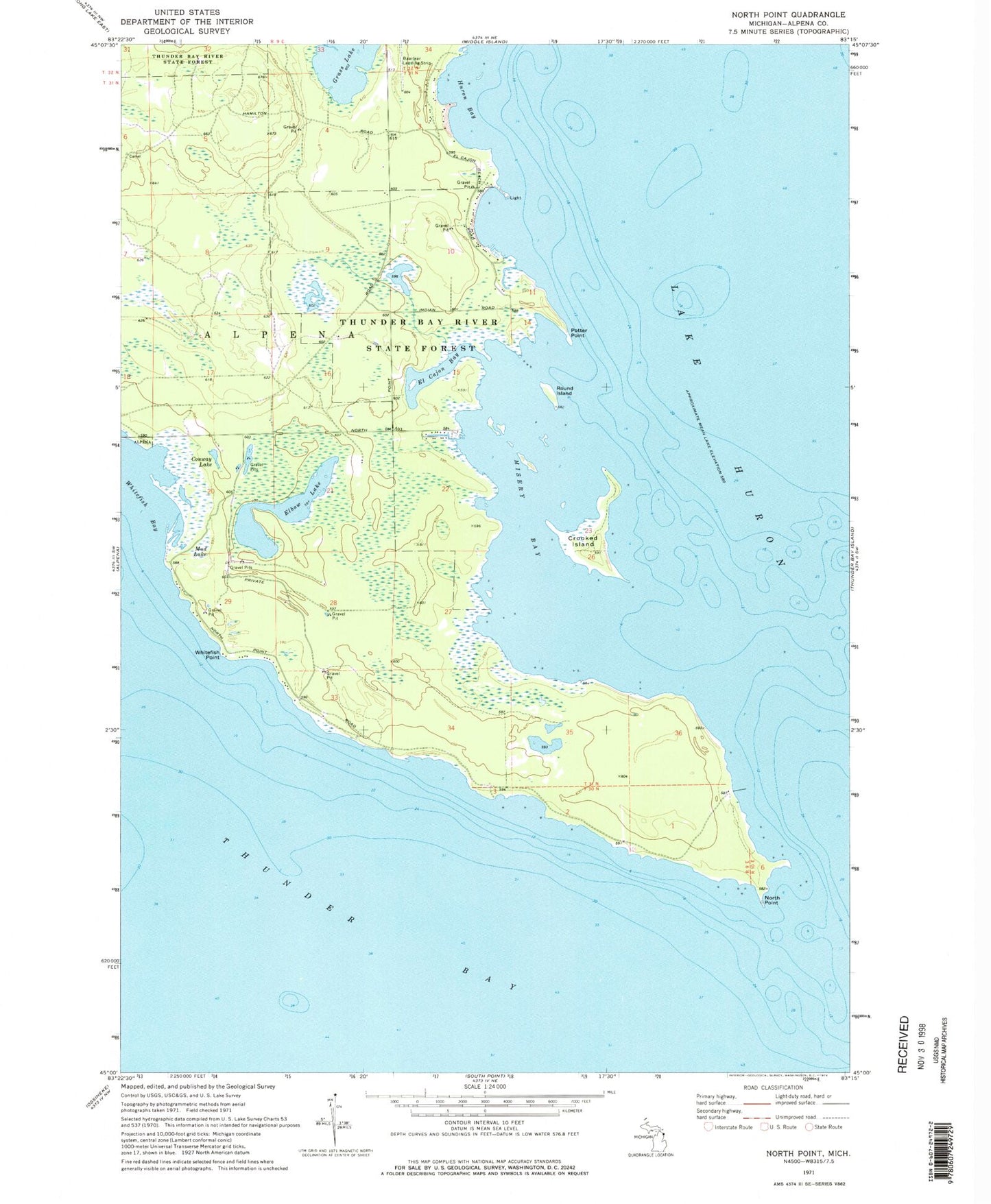
Historical USGS topographic quad map of North Point in the state of Michigan. Map scale may vary for some years, but is generally around 1:24,000. Print size is approximately 24" x 27"
This quadrangle is in the following counties: Alpena.
The map contains contour lines, roads, rivers, towns, and lakes. Printed on high-quality waterproof paper with UV fade-resistant inks, and shipped rolled.
Contains the following named places: Baarlear Landing Strip, Conway Lake, Crooked Island, El Cajon Bay, Elbow Lake, Huron Bay, Misery Bay, Mud Lake, North Point, Potter Point, Roberts Cove, Round Island, Stoneycroft Point, Thunder Bay River State Forest, Whitefish Point