MyTopo
Classic USGS North Pownal Vermont 7.5'x7.5' Topo Map
Couldn't load pickup availability
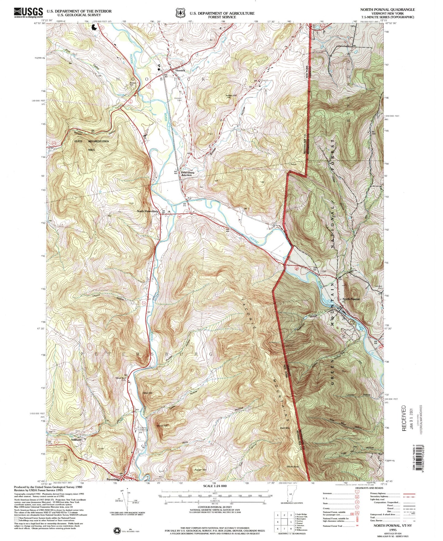
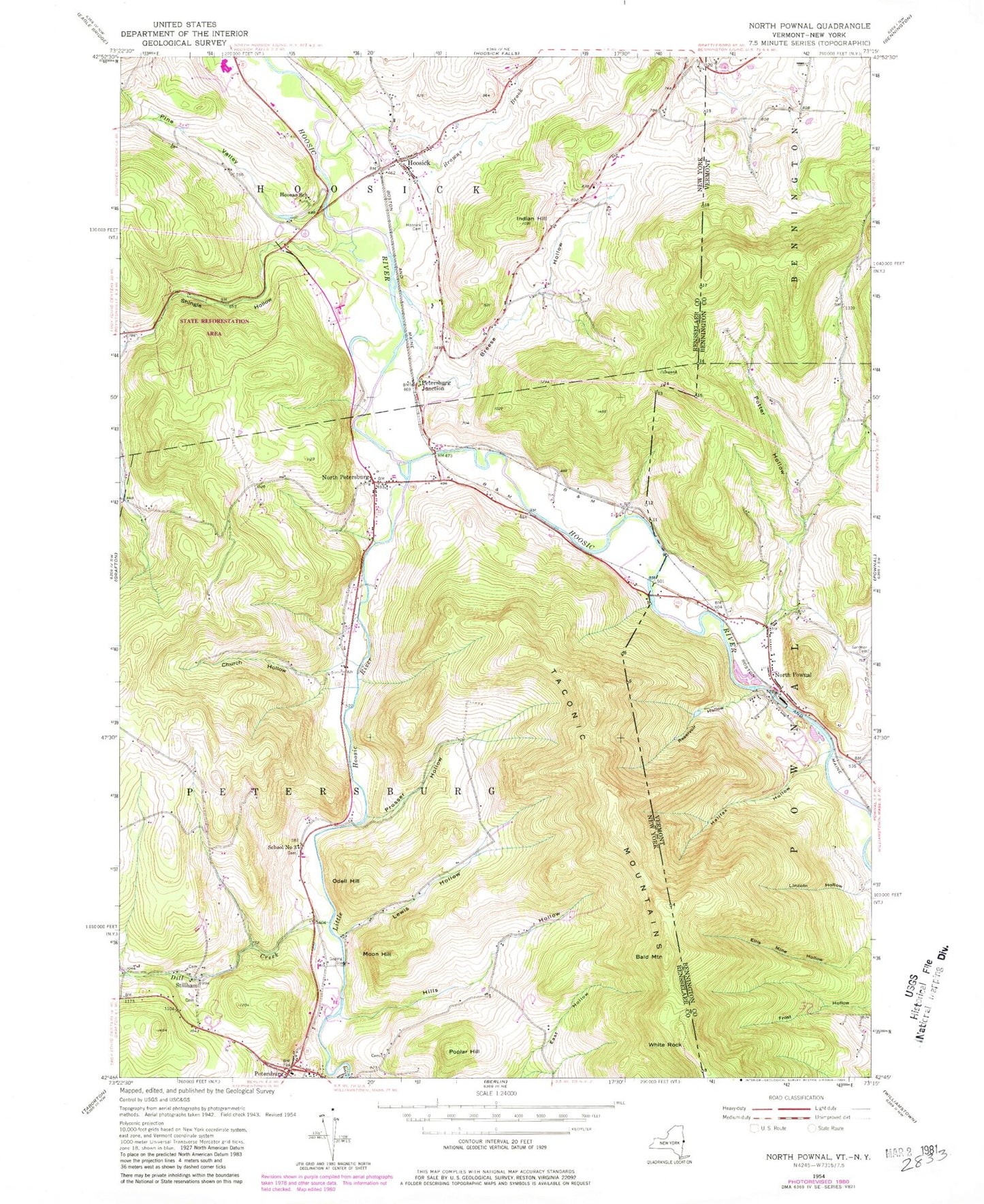
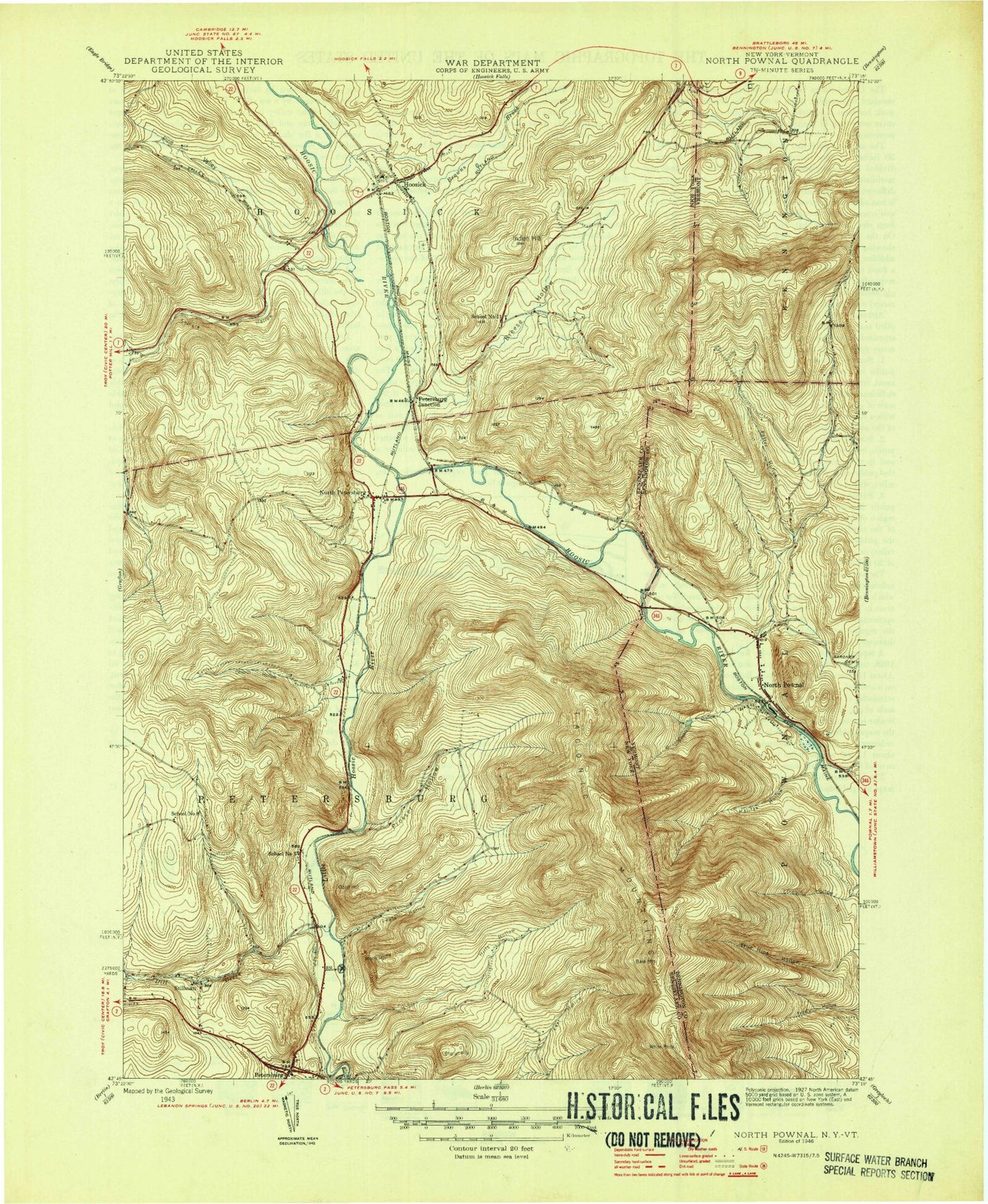
Historical USGS topographic quad map of North Pownal in the states of Vermont, New York. Map scale may vary for some years, but is generally around 1:24,000. Print size is approximately 24" x 27"
This quadrangle is in the following counties: Bennington, Rensselaer.
The map contains contour lines, roads, rivers, towns, and lakes. Printed on high-quality waterproof paper with UV fade-resistant inks, and shipped rolled.
Contains the following named places: Aqua Vista Valley Campground, Bald Mountain, Breese Hollow, Browns Brook, Church Hollow, Dayfoot Brook, Dill Creek, Edgar Rathburn Farm Cemetery, First Baptist Church of Hoosick, Halifax Hollow, Hills Hollow, Hoosac School, Hoosick, Hoosick Cemetery, Hoosick Falls Elementary School, Hoosick Falls High School, Indian Hill, Lewis Hollow, Little Hoosic River, Moon Hill, North Petersburg, North Petersburgh United Methodist Church, North Pownal, North Pownal Census Designated Place, North Pownal Post Office, North Pownall Yard Cemetery, Odell Hill, Paddock-Peckham Cemetery, Petersburg Baptist Church, Petersburg Junction, Petersburg Post Office, Petersburg Public Library, Petersburg Rescue Ambulance Squad, Petersburgh United Methodist Church, Pine Valley, Poplar Hill, Potter Hollow, Pownal Valley Fire Department - North Station, Prosser Hollow, Red Pond Brook, Reservoir Hollow, School Number 11, School Number 3, School Number 6, School Number 8, Shiloh Assembly of God, Shingle Hollow, State Forest Rensselaer Number 3, Stillham, Town of Petersburgh, White Rock, Woodland - J Wilcox Farm Cemetery, ZIP Codes: 05260, 12089


