MyTopo
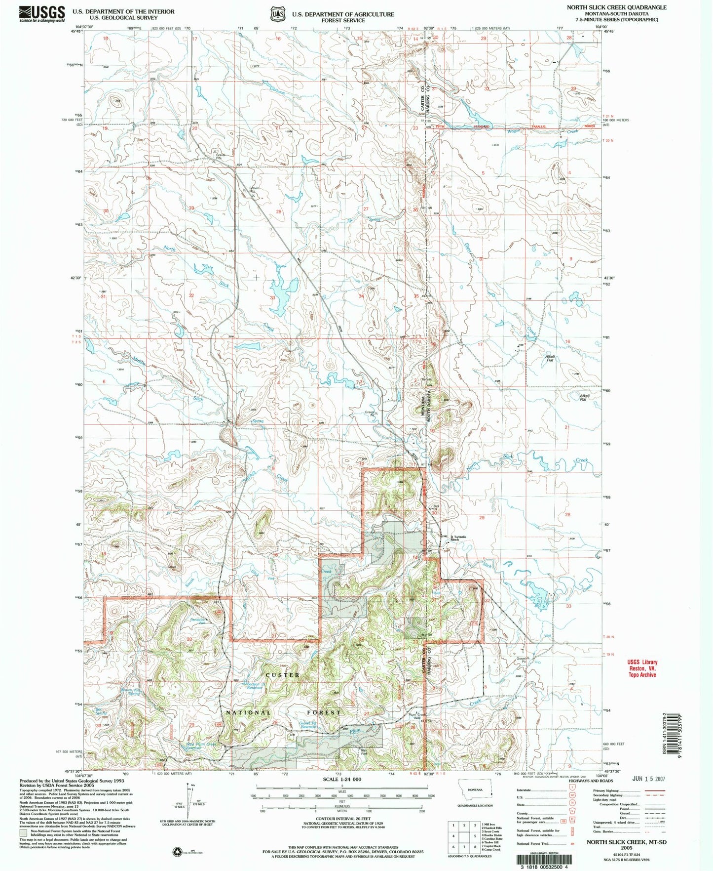
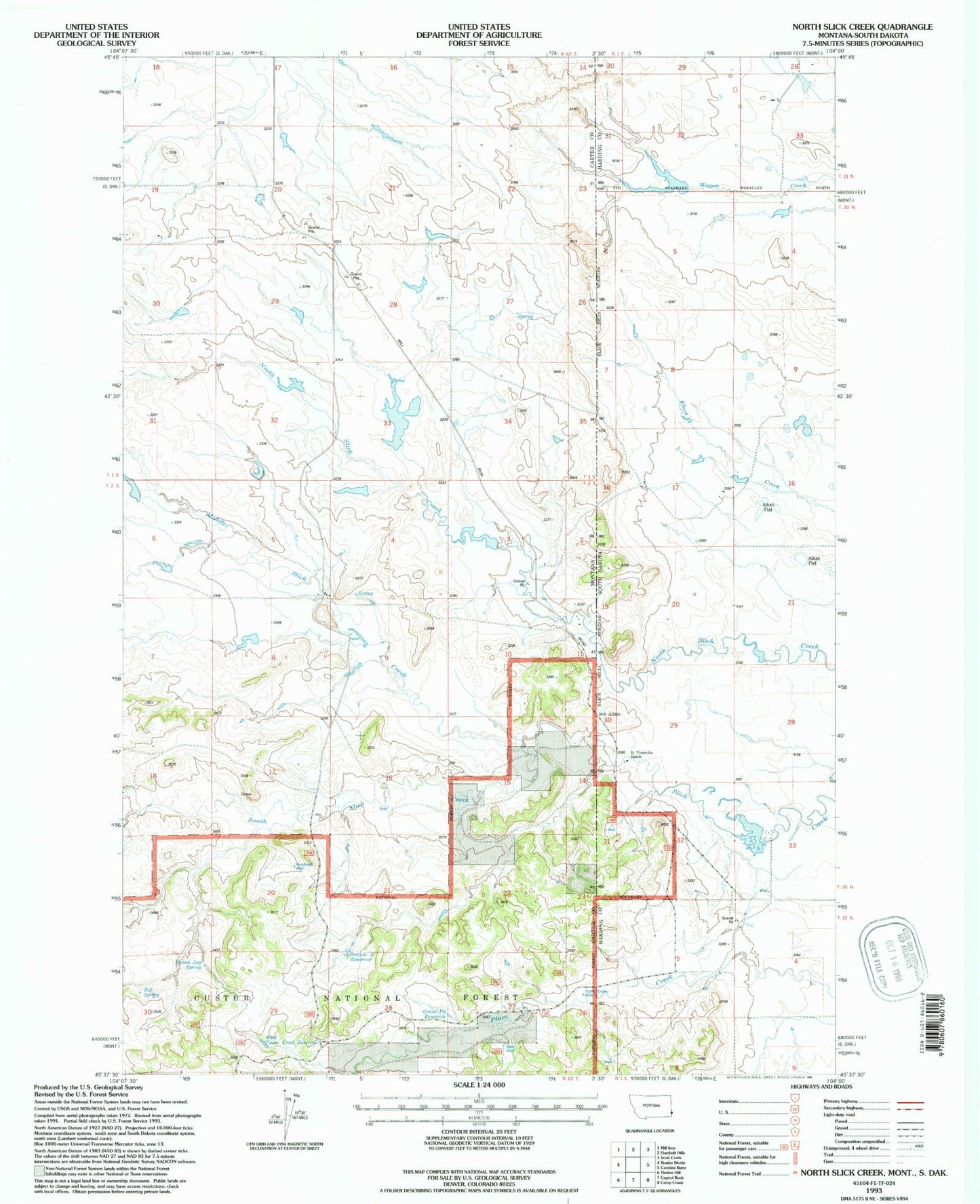
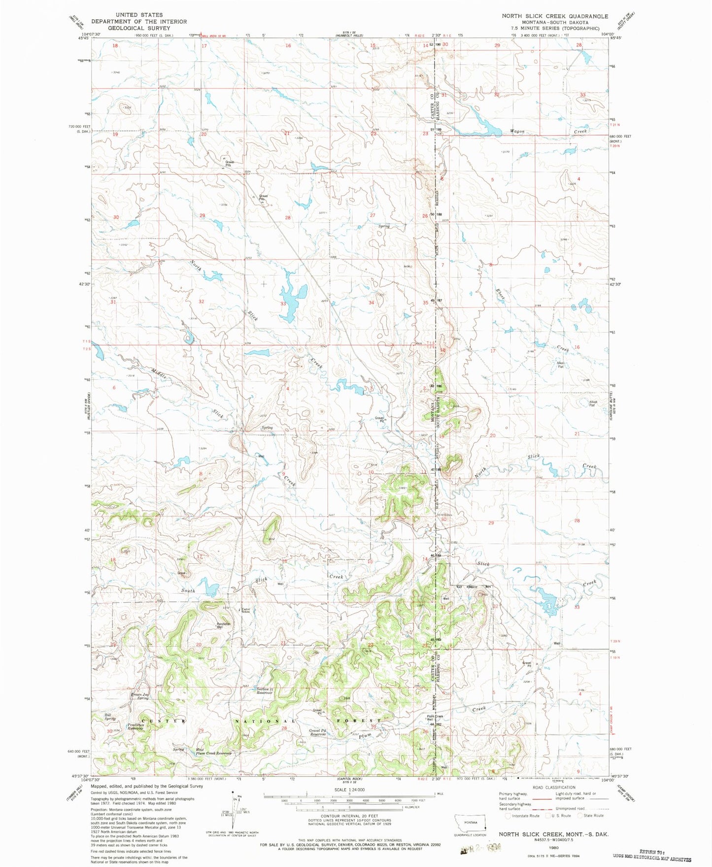
Classic USGS North Slick Creek Montana 7.5'x7.5' Topo Map
Couldn't load pickup availability
Historical USGS topographic quad map of North Slick Creek in the states of Montana, South Dakota. Map scale may vary for some years, but is generally around 1:24,000. Print size is approximately 24" x 27"
This quadrangle is in the following counties: Carter, Harding.
The map contains contour lines, roads, rivers, towns, and lakes. Printed on high-quality waterproof paper with UV fade-resistant inks, and shipped rolled.
Contains the following named places: 02S62E08DDDD01 Well, 57724, Bill Spring, Brown Jug Spring, Carter School, Custer National Forest - Sioux Division, Evenson Irrigation Dam, Evenson North Irrigation Dam, Gravel Pit Reservoir, Instant Tang Dam, Kool-Aid Dam, Lyle Lewton Dam, Middle Slick Creek, Midland, Midland Post Office, Midland School, Pendleton Reservoir, Pendleton Well, Plum Creek Well, Rolph Number 1 Dam, Section 21 Reservoir, West Plum Creek Reservoir


