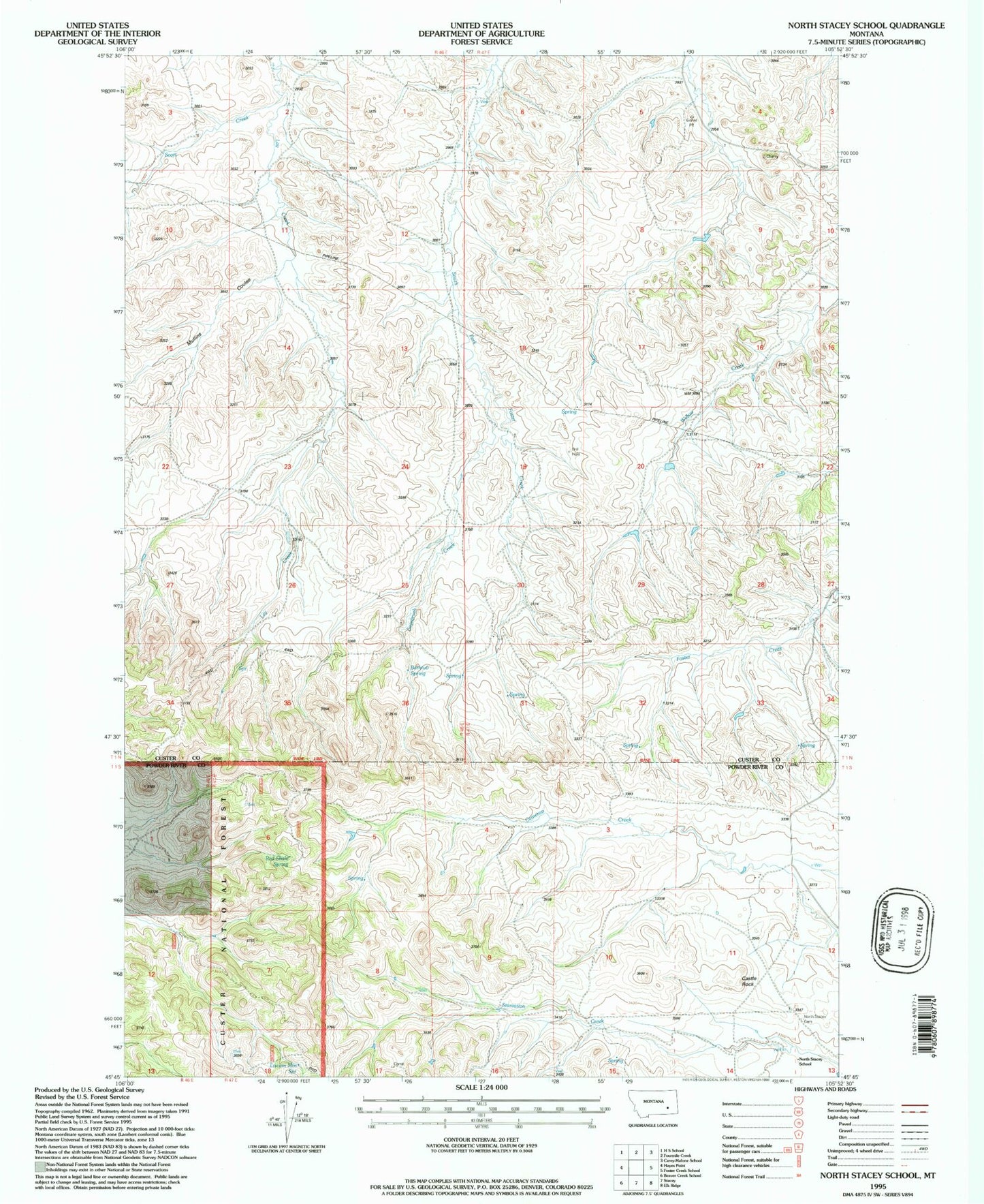
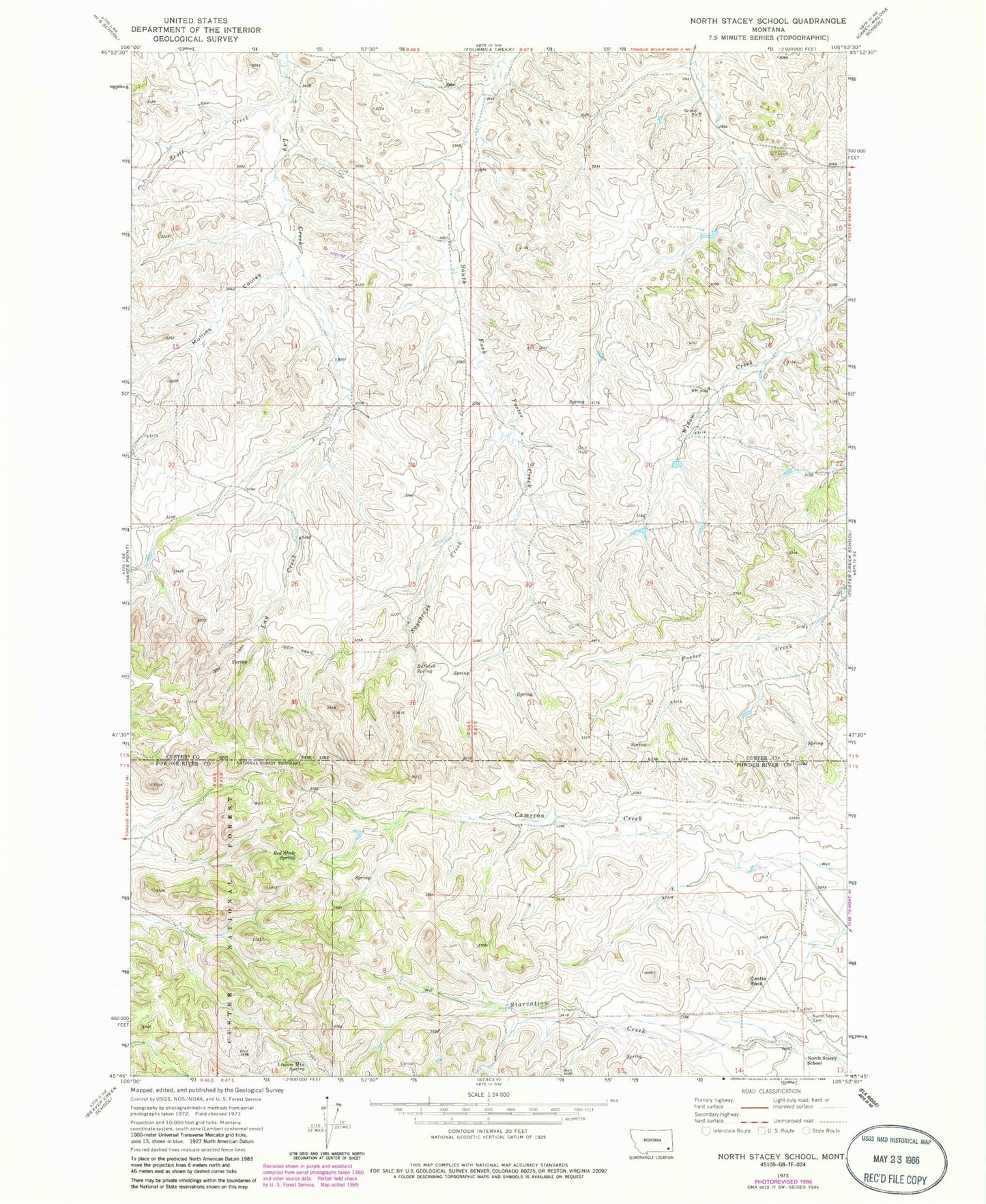
MyTopo
Classic USGS North Stacey School Montana 7.5'x7.5' Topo Map
Couldn't load pickup availability
Historical USGS topographic quad map of North Stacey School in the state of Montana. Map scale may vary for some years, but is generally around 1:24,000. Print size is approximately 24" x 27"
This quadrangle is in the following counties: Custer, Powder River.
The map contains contour lines, roads, rivers, towns, and lakes. Printed on high-quality waterproof paper with UV fade-resistant inks, and shipped rolled.
Contains the following named places: 01N46E03DBDD01 Well, 01N46E14DABD01 Well, 01N46E26ABCB01 Well, 01N47E04CCAA01 Well, 01N47E20AADC01 Well, 01N47E20ACDC01 Well, 01N47E28DDAD01 Well, 01N47E32ACDC01 Well, 01S47E11DDDD01 Well, 01S47E18BBDD01 Well, 01S55E17DAA_01 Well, Bathtub Spring, Castle Rock, Liscom Mountain Spring, Mullins Coulee, North Stacey Cemetery, North Stacey School, Red Shale Spring, Sagebrush Creek, Scott Creek