MyTopo
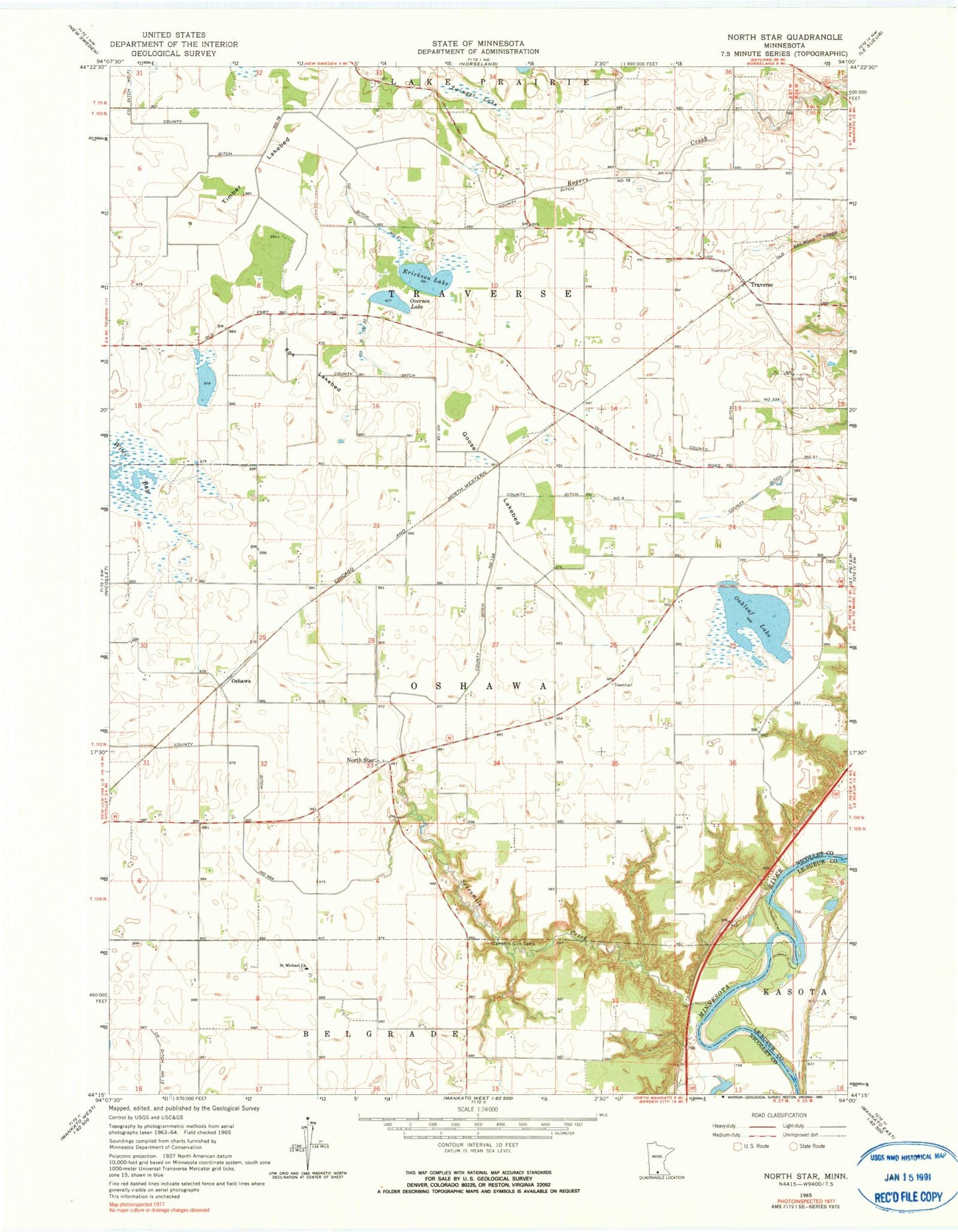
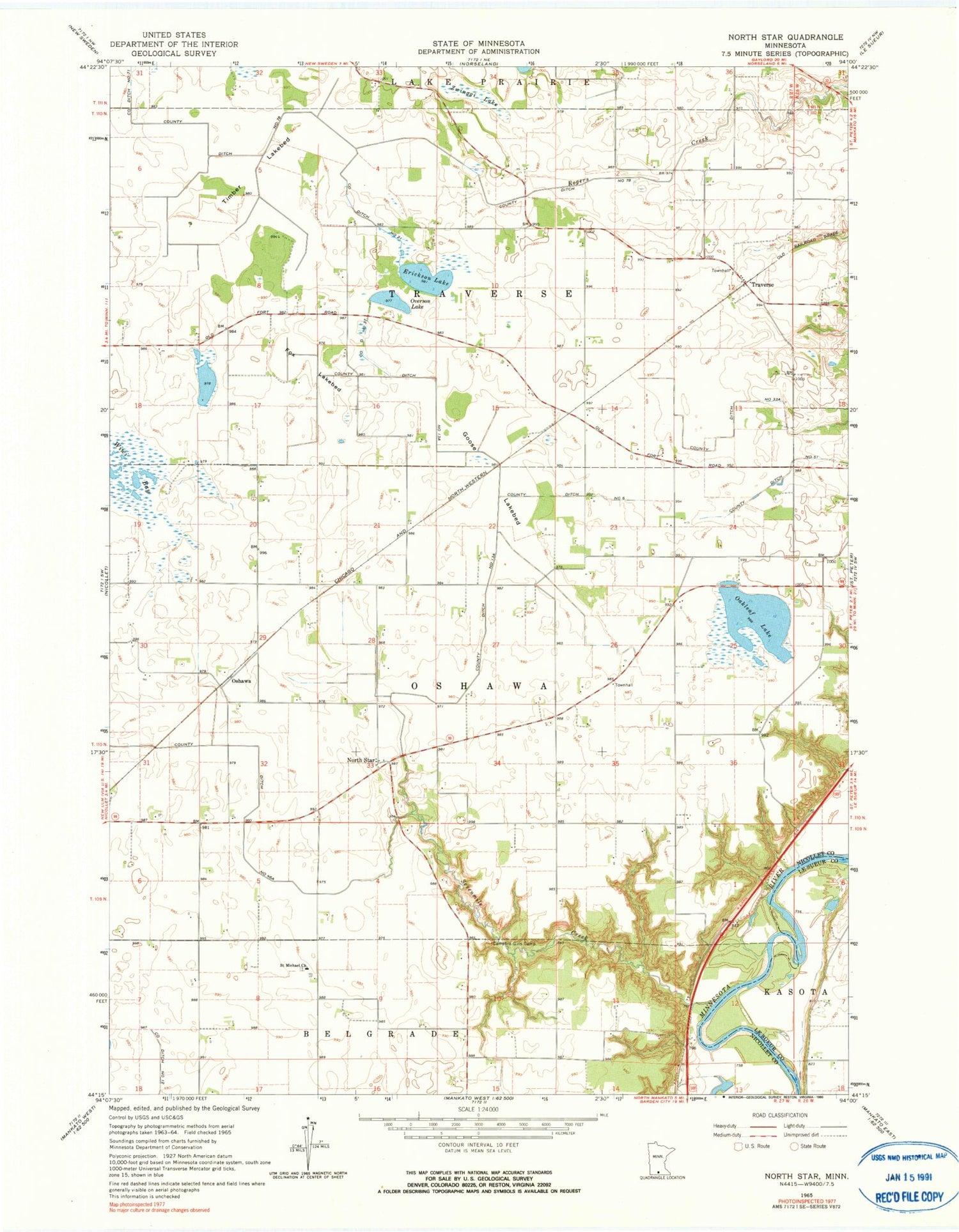
Classic USGS North Star Minnesota 7.5'x7.5' Topo Map
Couldn't load pickup availability
Historical USGS topographic quad map of North Star in the state of Minnesota. Typical map scale is 1:24,000, but may vary for certain years, if available. Print size: 24" x 27"
This quadrangle is in the following counties: Le Sueur, Nicollet.
The map contains contour lines, roads, rivers, towns, and lakes. Printed on high-quality waterproof paper with UV fade-resistant inks, and shipped rolled.
Contains the following named places: Campfire Girls Camp, County Ditch Number Thirteen A, County Ditch Number Twentyone, County Ditch Number Thirtythree A, County Ditch Number Thirtyseven, County Ditch Number Fortysix A, County Ditch Number Fiftyone, County Ditch Number Six, County Ditch Number Seventyeight, County Ditch Number Seventyeight, Erickson Lake, Fox Lakebed, Goose Lakebed, Oakleaf Lake, Overson Lake, Saint Michael Church, Sevenmile Creek, Timber Lakebed, Zwinggi Lake, North Star, Oshawa, Traverse, Brinkman Airport (historical), Township of Oshawa, Township of Traverse, Traverse (historical), Traverse Post Office (historical), Oshawa Post Office (historical), Oshawa (historical), Cullen Trading Post Cemetery, Saint Michael Cemetery


