MyTopo
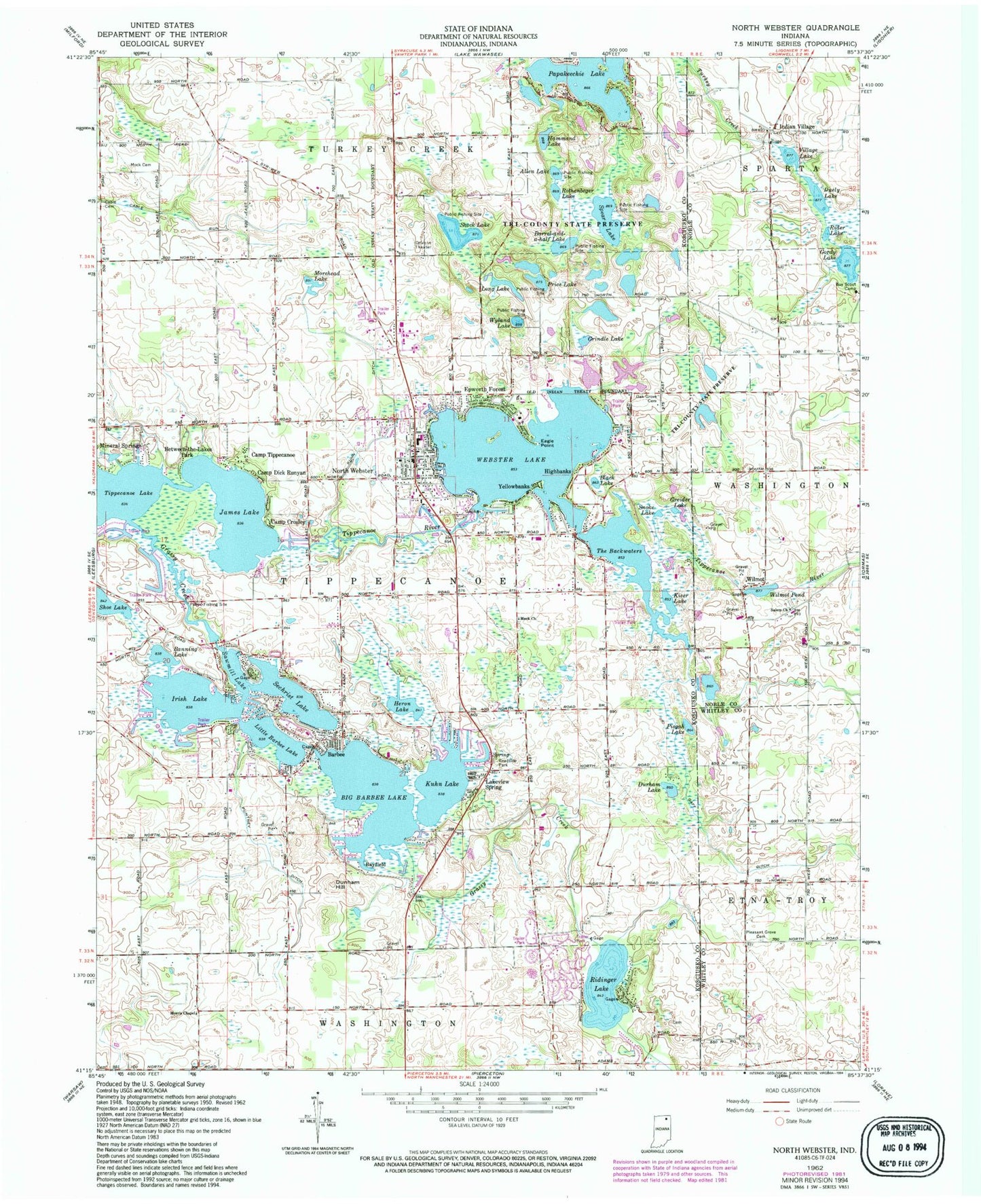
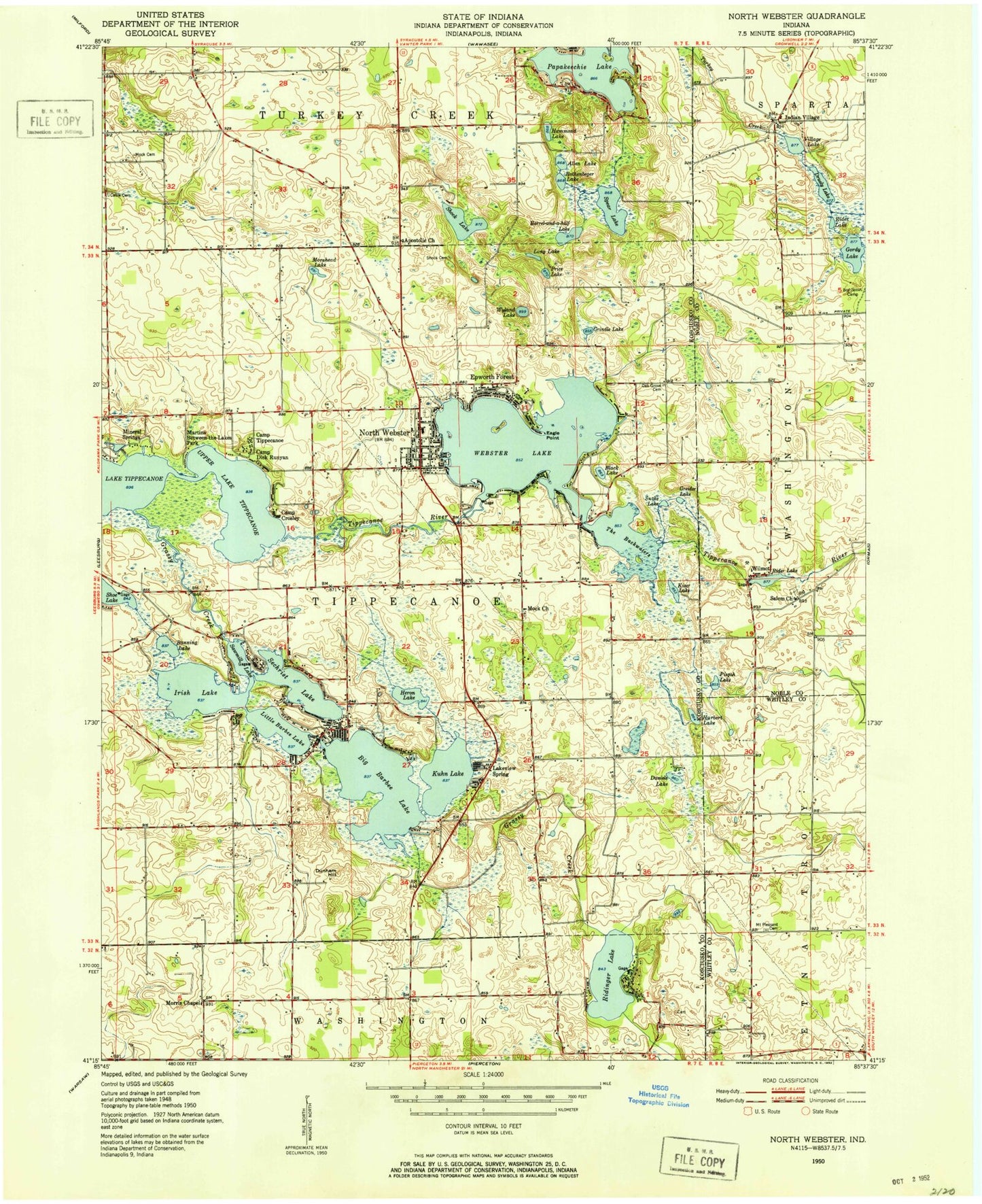
Classic USGS North Webster Indiana 7.5'x7.5' Topo Map
Couldn't load pickup availability
Historical USGS topographic quad map of North Webster in the state of Indiana. Typical map scale is 1:24,000, but may vary for certain years, if available. Print size: 24" x 27"
This quadrangle is in the following counties: Kosciusko, Noble, Whitley.
The map contains contour lines, roads, rivers, towns, and lakes. Printed on high-quality waterproof paper with UV fade-resistant inks, and shipped rolled.
Contains the following named places: Allen Lake, Banning Lake, Barbee, Barrel-and-a-half Lake, Bayfield, Between-The-Lakes Park, Big Barbee Lake, Black Lake, Cable Cemetery, Camp Crosley, Camp Dick Runyan, Camp Tippecanoe, Dunham Hill, Durham Lake, Epworth Forest, Grassy Creek, Greider Lake, Grindle Lake, Hammond Lake, Heron Lake, Highbanks, Irish Lake, James Lake, Kiser Lake, Kuhn Ditch, Kuhn Lake, Lakeview Spring, Little Barbee Lake, Long Lake, Mineral Springs, Morehead Lake, Morris Chapel, North Webster, Oak Grove Cemetery, Pisgah Lake, Pleasant Grove Cemetery, Price Lake, Puntney Ditch, Rothenbeger Lake, Sawmill Lake, Sechrist Lake, Shock Lake, Shoe Lake, Snoke Lake, Spear Lake, The Backwaters, Tri-County State Fish And Game Area, Webster Lake, Wilmot, Wyland Lake, Yellowbanks, North Webster Elementary School, North Webster Junior High School, Goldeneye Pond, Weimer Black Dam, Webster Lake Dam-East, Rider Lake Dam, Eagle Point, Duely Lake, Gordy Lake, Indian Village, Rider Lake, Salem Church, Village Lake, Papakeechie Lake, Wilmot Pond, Ridinger Lake, Township of Tippecanoe, Town of North Webster, North Webster Tippecanoe Township Fire Department, North Webster Tippecanoe Township Emergency Medical Services, North Webster Police Department, North Webster Post Office, North Webster Cemetery


