MyTopo
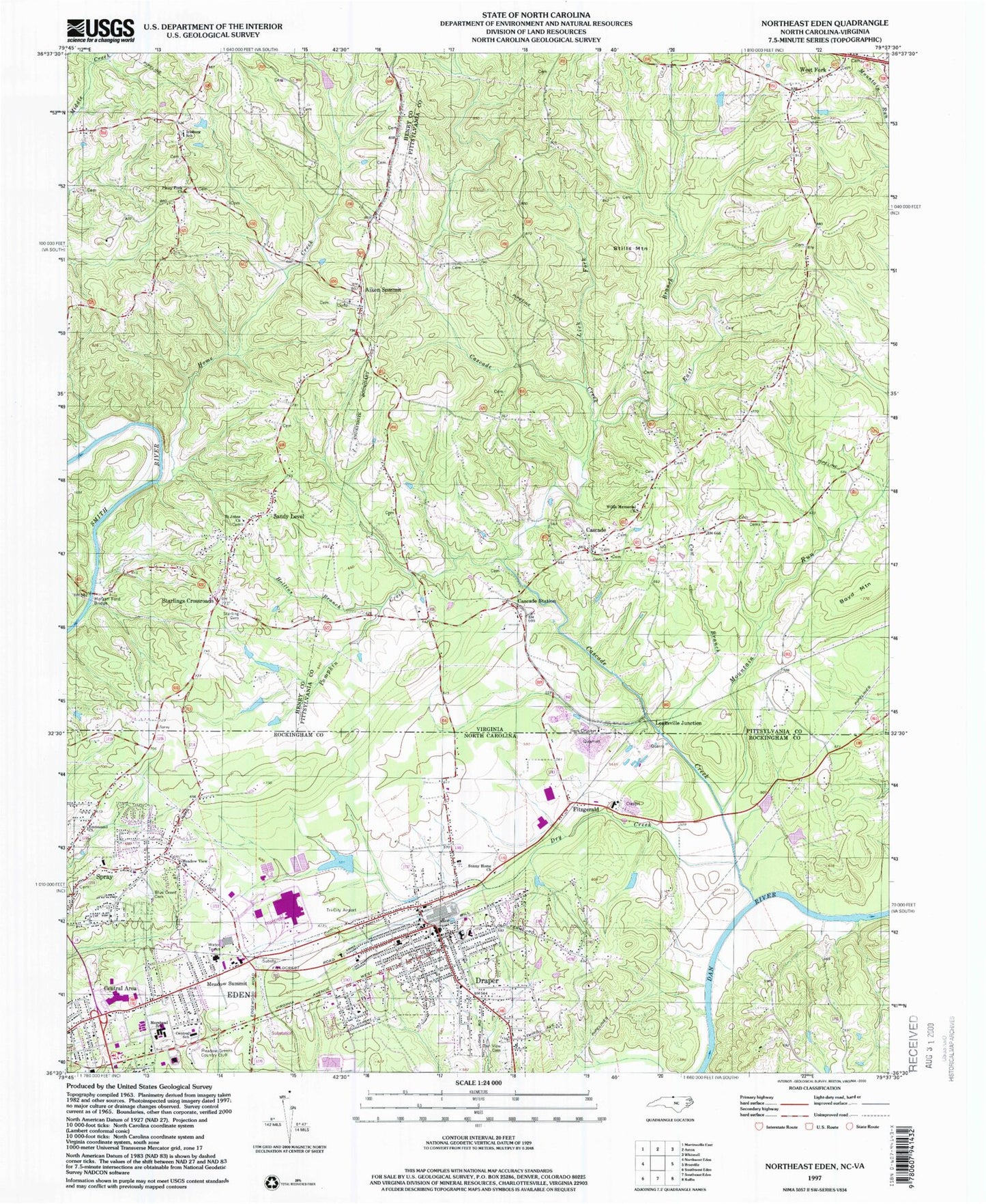
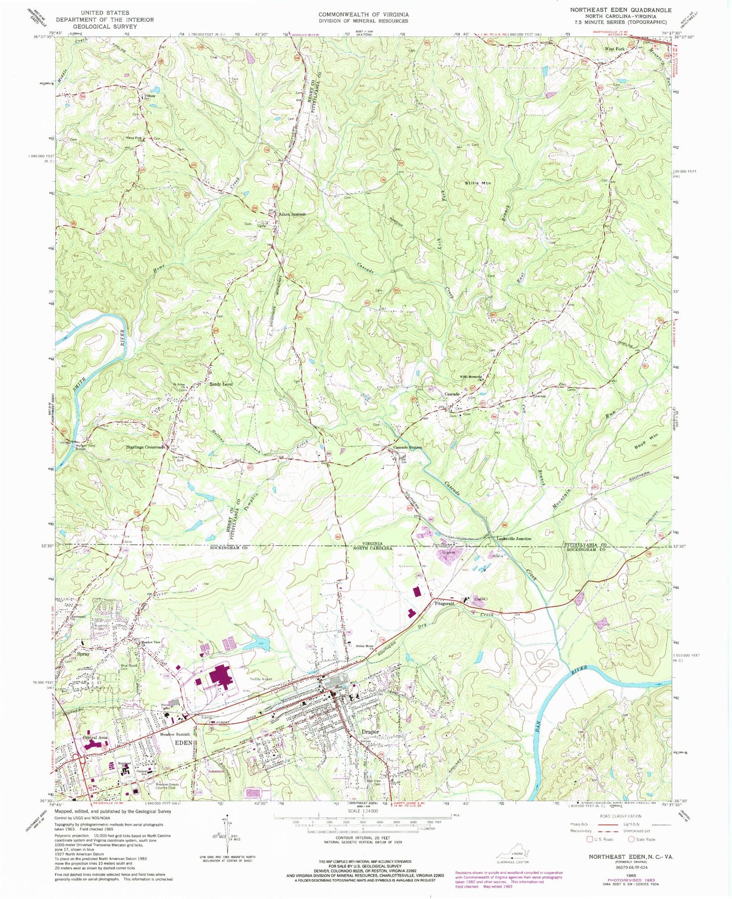
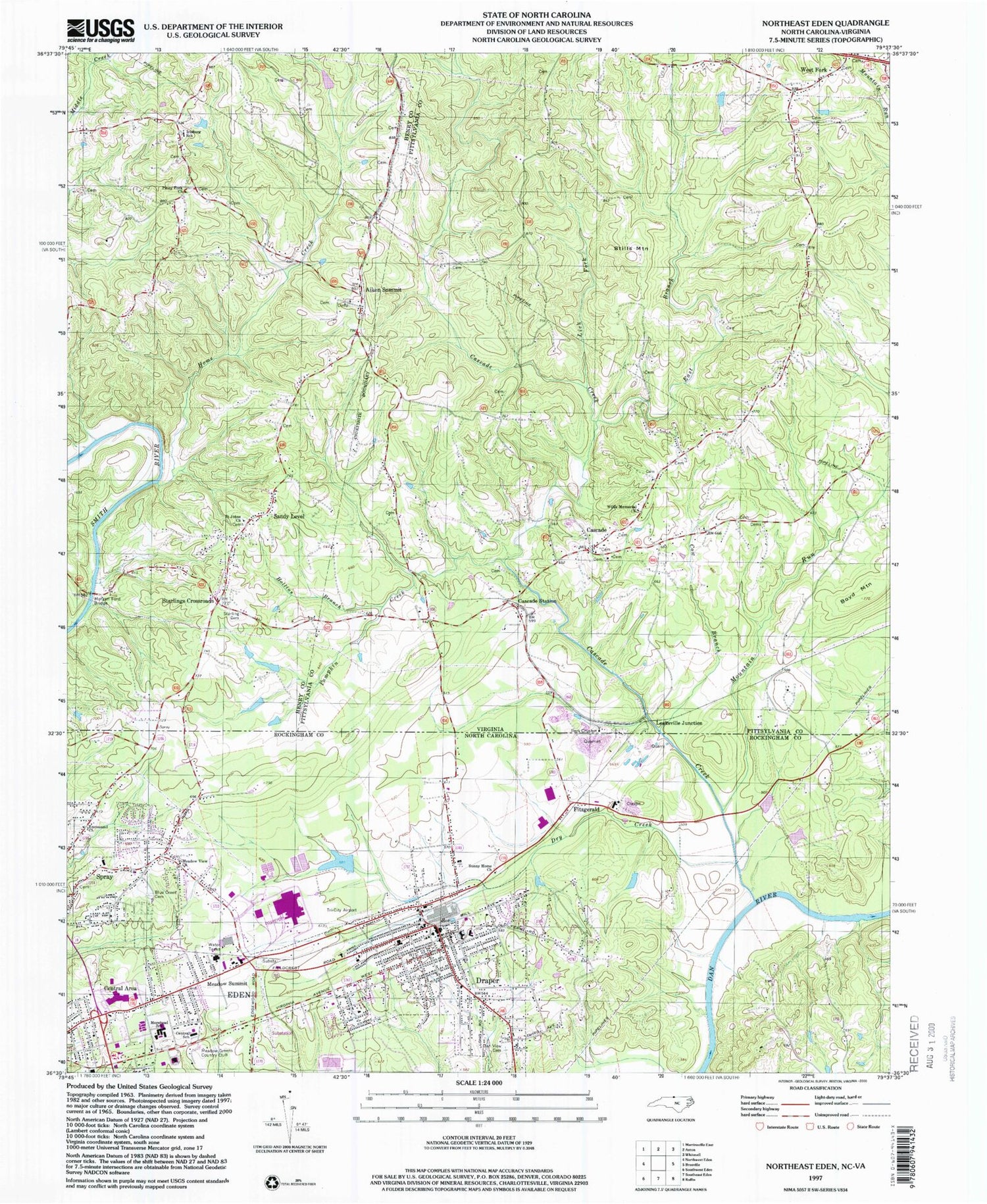
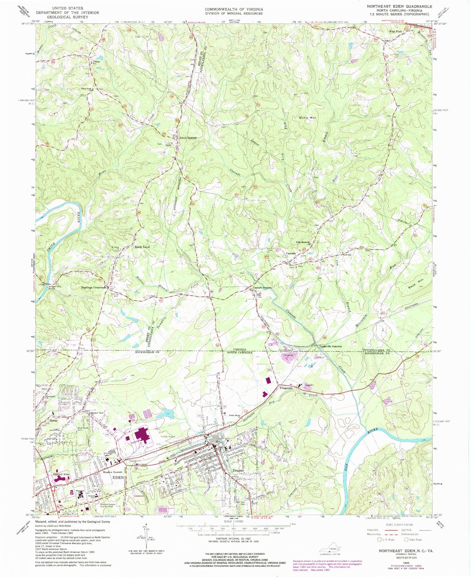
Classic USGS Northeast Eden North Carolina 7.5'x7.5' Topo Map
Couldn't load pickup availability
Historical USGS topographic quad map of Northeast Eden in the states of North Carolina, Virginia. Map scale may vary for some years, but is generally around 1:24,000. Print size is approximately 24" x 27"
This quadrangle is in the following counties: Henry, Pittsylvania, Rockingham.
The map contains contour lines, roads, rivers, towns, and lakes. Printed on high-quality waterproof paper with UV fade-resistant inks, and shipped rolled.
Contains the following named places: Aiken Summit, Black Knob School, Blue Creek Cemetery, Cascade, Cascade Creek, Cascade Post Office, Cascade Station, Cascade Volunteer Fire Department, Central Area, Central School, City of Eden, Cow Branch, Creekridge, Dan View Cemetery, Draper, Draper Elementary School, Draper Volunteer Fire Department, Dry Creek, East Branch Cascade Creek, East Quarry, Eden Fire Department Station 2, Eden Fire Department Station 4, Eden Mall, Eden Post Office, Eden Rescue Squad, Emmanuel Church, Fitzgerald, Grand Oaks, Green Acres, Hampton School, High View School, Hollins Branch, Home Creek, Irisburg Elementary School, J E Holmes Junior High School, Leaksville Junction, Lick Fork, Meadow Greens Country Club, Meadow Summit, Meadow View Church, Morehead School, Morgan Ford Bridge, Mountain Run, Northridge, Oak Level School, Piney Fork Church, Pumpkin Creek, Rickman Acres, Saint Johns Church, Sandy Level, Sandy Level Census Designated Place, Starling Cemetery, Starlings Crossroads, Stills Mountain, Sunny Home Church, Township of Leaksville, Wells Dam, West Fork, Wilderness Outdoor Opportunity Discovery School, Wills Memorial Church, Woodland School, ZIP Code: 24069


