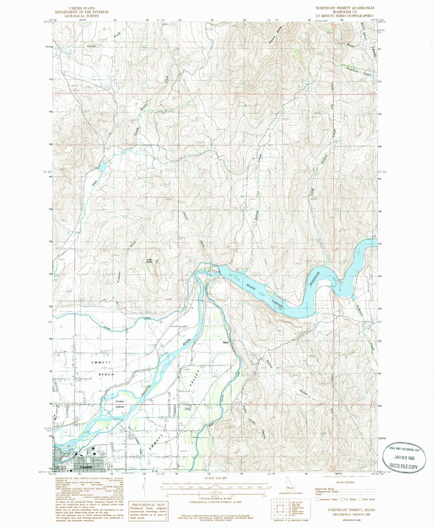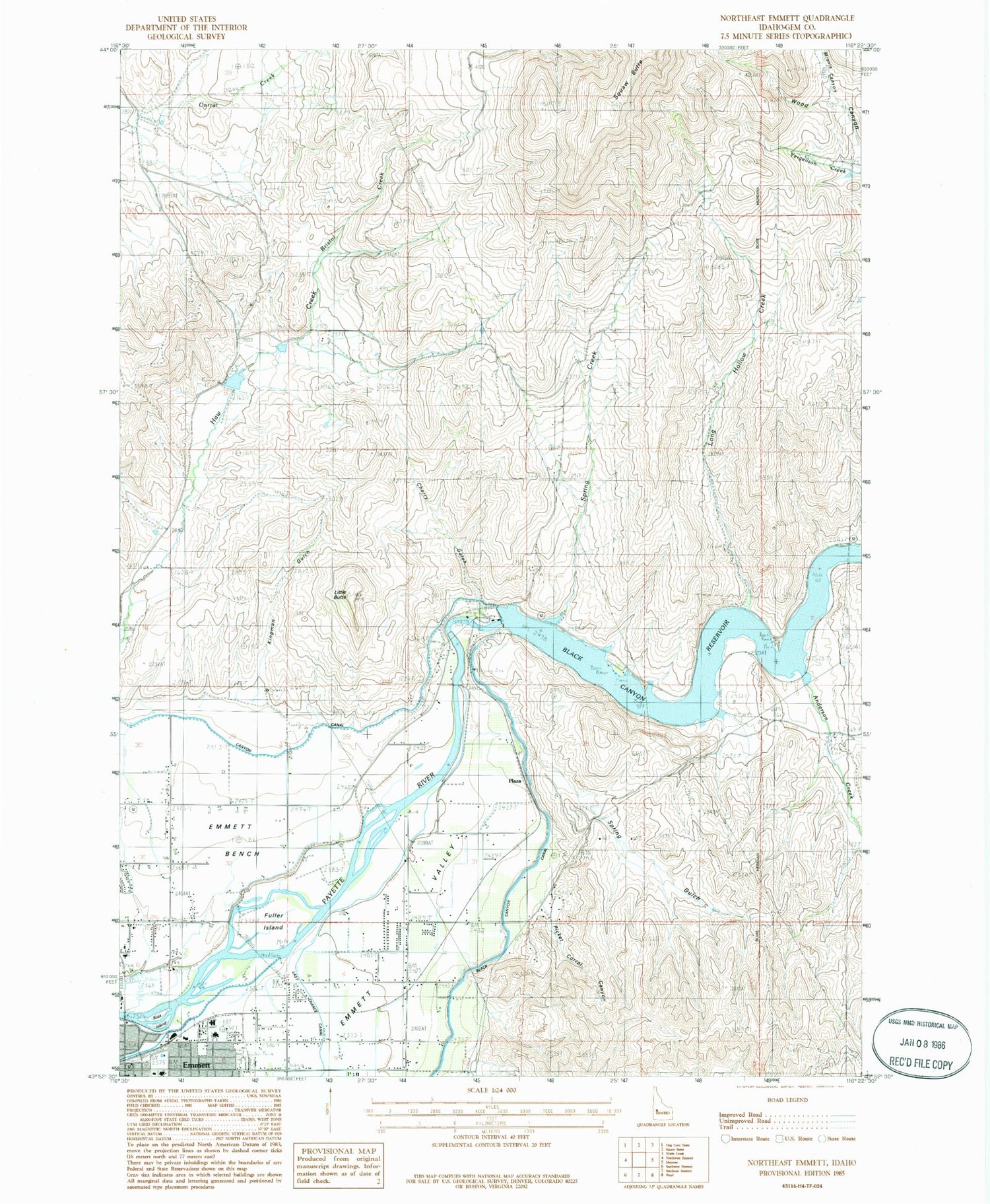
MyTopo
Classic USGS Northeast Emmett Idaho 7.5'x7.5' Topo Map
Couldn't load pickup availability
Historical USGS topographic quad map of Northeast Emmett in the state of Idaho. Map scale may vary for some years, but is generally around 1:24,000. Print size is approximately 24" x 27"
This quadrangle is in the following counties: Gem.
The map contains contour lines, roads, rivers, towns, and lakes. Printed on high-quality waterproof paper with UV fade-resistant inks, and shipped rolled.
Contains the following named places: Anderson Creek, Black Canyon, Black Canyon Dam, Black Canyon Reservoir, Bristol Creek, Cherry Gulch, Emmett Police Department, Emmett Post Office, Fuller Island, Gem County Ambulance Service, Gem County Sheriff's Office, Haw Creek Dam, Kingman Gulch, Little Butte, Long Hollow Creek, Minnis Canyon, Picket Corral, Picket Corral Canyon, Plaza, Plaza Road Bridge Access Area, Ross Island, Shellrock Canyon, Spring Creek, Spring Gulch, Walter Knox Memorial Hospital, Wood Canyon