MyTopo
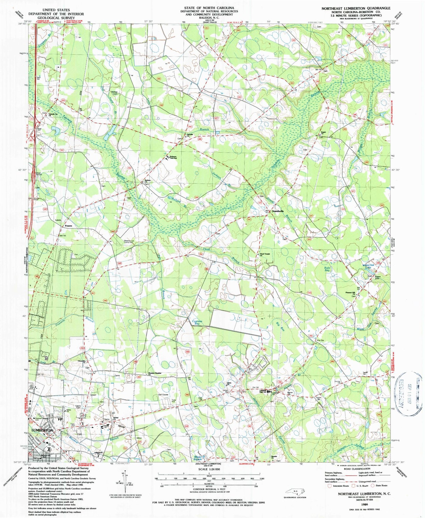
Classic USGS Northeast Lumberton North Carolina 7.5'x7.5' Topo Map
Couldn't load pickup availability
Historical USGS topographic quad map of Northeast Lumberton in the state of North Carolina. Map scale may vary for some years, but is generally around 1:24,000. Print size is approximately 24" x 27"
This quadrangle is in the following counties: Robeson.
The map contains contour lines, roads, rivers, towns, and lakes. Printed on high-quality waterproof paper with UV fade-resistant inks, and shipped rolled.
Contains the following named places: Abram Branch, Baker Chapel, Barker Ten Mile, Barker Ten Mile Census Designated Place, Barker Tenmile School, Barkers Church, Bayside Church, Bethel Church, Big Bay, Bullard Branch, Chrysolite Church, Cowpen Branch, Cypress Bay, Eaglewood Mobile Home Park, East Howellsville Fire Department, Elizabeth Heights Cemetery, Floyd Temple Church, Golden Living Retirement Center, Gravel Branch, Howellsville, Jackson Branch, Jerry Ann School, Kinlaw Cemetery, Lees Branch, Lewis Cemetery, Littlefield High School, Lone Oak Mobile Home Park, Lumberton High School, Lumberton Police Department, Meadow Lark County Park, Northwoods Fire Department, Old Field Branch, Pats Branch, Pleasant Hill Church, Pleasant Meadow Church, Powers, Rafe Bay, Regan Church, Robeson Technical Institute, Rosewood Mobile Home Park, Tabernacle Church, Tenmile Center Church, Tenmile Church, Thick Branch, Thomas Cemetery, Township of West Howellsville, Union Church, Wesley Pines Retirement Community, White Oak Lake, Wildcat Branch