MyTopo
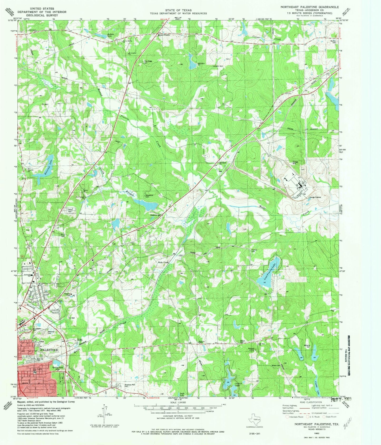
Classic USGS Northeast Palestine Texas 7.5'x7.5' Topo Map
Couldn't load pickup availability
Historical USGS topographic quad map of Northeast Palestine in the state of Texas. Map scale may vary for some years, but is generally around 1:24,000. Print size is approximately 24" x 27"
This quadrangle is in the following counties: Anderson.
The map contains contour lines, roads, rivers, towns, and lakes. Printed on high-quality waterproof paper with UV fade-resistant inks, and shipped rolled.
Contains the following named places: 79 East Volunteer Fire Department, Anderson Chapel, Anderson County Jail, Anderson County Sheriff's Office, Bewen Church, Blackshire Cemetery, Brown Spring Church, Calhoun Streen Park, Circle R Dam Number 2, Circle R Lake Number 2, Circles R Lakes, Cuney Academy, Douglas School, East Hill Cemetery, Elmwood Volunteer Fire Department Station 2, Grace Temple Church of God in Christ, Grover C Walker Lake, Grover C Walker Lake Dam, Haverlah Lake, Haverlah Lake Dam, Hudson Lake, Hudson Lake Dam, Jackson Lake, John H Reagan Monument, KNET-AM (Palestine), KYYK-FM (Palestine), Lost Prairie Lake, Lost Prairie Lake Dam, Lost Prairie School, Lumpkin Cemetery, M A Davey Lake Dam, Mason Cemetery, McDonald Church, McDonald Lake, McDonald Lake Dam, McDonald Museum, Memorial Cemetery, Mound Prairie, Mound Prairie Creek, Mound Prairie School, Mount Comfort Church, Mount Olive Church, Mount Olive School, Mount Vernon African Methodist Episcopal Church, Neches Cemetery, New Canaan Church, Northside Primary School, Norwood Heights Baptist Church, Norwood School, Oak Grove Church, Palestine Division, Pine Ridge Cemetery, Price Cemetery, Roselawn Park Cemetery, Saint Josephs Cemetery, Saint Luke Church, Sam Houston Primary School, Sam Houston School, Sand Flat Baptist Church, Shiloh Church, Smith Branch, Spring Park Lake, Swanson Cemetery, Swift Lake, Thomas Cemetery, W A Smith Lake Number 1, W A Smith Lake Number 1 Dam, Wells Creek, Williams Cemetery, Williams Lake, Williams Lake Dam, Wilson Cemetery, Zion Hill Church


