MyTopo
Classic USGS Northland NW Michigan 7.5'x7.5' Topo Map
Regular price
$16.95
Regular price
Sale price
$16.95
Unit price
per
Couldn't load pickup availability
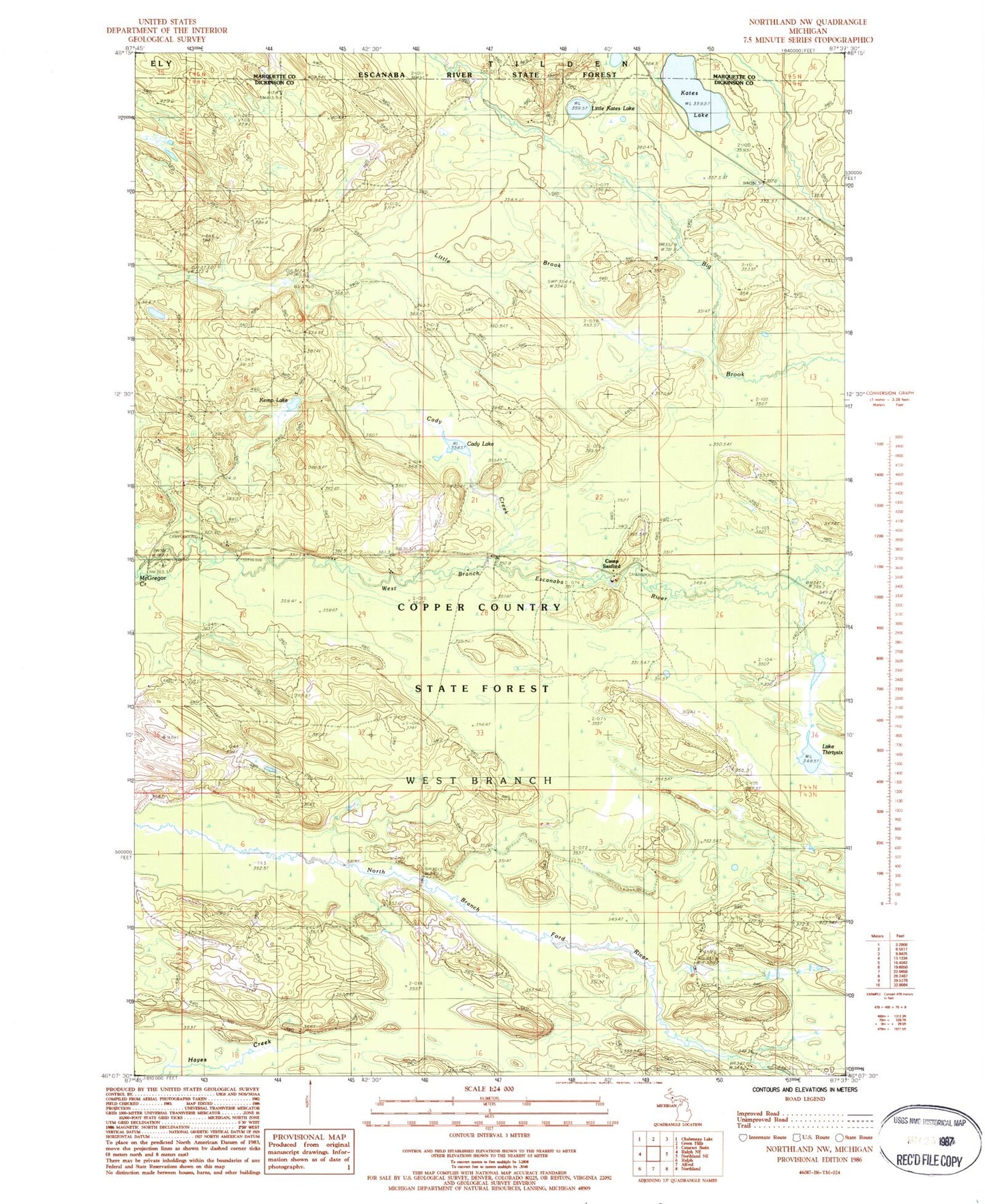
Historical USGS topographic quad map of Northland NW in the state of Michigan. Map scale may vary for some years, but is generally around 1:24,000. Print size is approximately 24" x 27"
This quadrangle is in the following counties: Dickinson, Marquette.
The map contains contour lines, roads, rivers, towns, and lakes. Printed on high-quality waterproof paper with UV fade-resistant inks, and shipped rolled.
Contains the following named places: Cady Creek, Cady Lake, Camp Sanford, Kates Lake, Kemp Lake, Lake Thirtysix, Little Brook, Little Kates Lake, Lower Dam Campground, McGregor Creek, Township of West Branch, West Branch State Forest Campground, ZIP Code: 49877