MyTopo
Classic USGS Northville South Dakota 7.5'x7.5' Topo Map
Couldn't load pickup availability
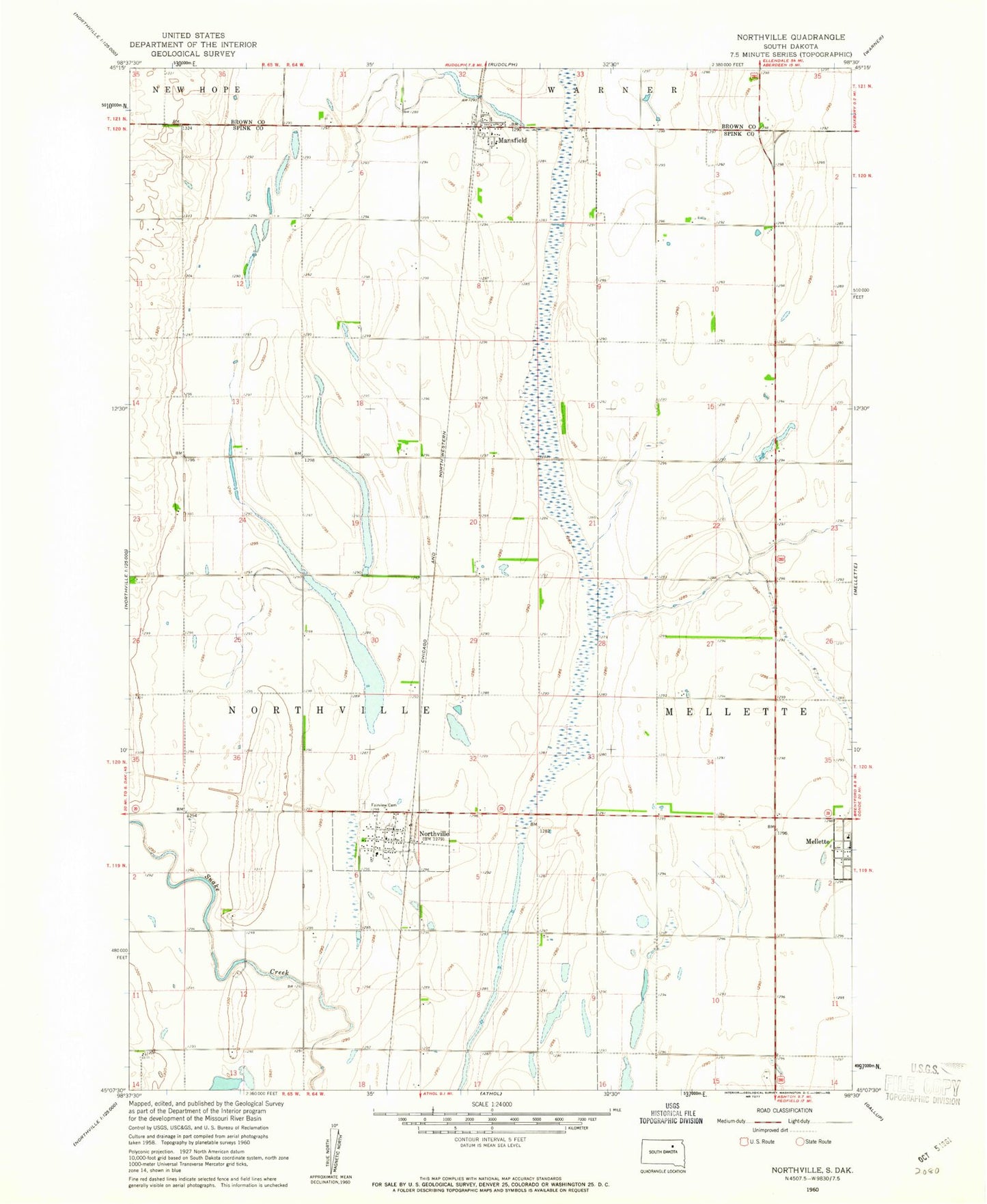
Historical USGS topographic quad map of Northville in the state of South Dakota. Map scale may vary for some years, but is generally around 1:24,000. Print size is approximately 24" x 27"
This quadrangle is in the following counties: Brown, Spink.
The map contains contour lines, roads, rivers, towns, and lakes. Printed on high-quality waterproof paper with UV fade-resistant inks, and shipped rolled.
Contains the following named places: Big Slough, Fairview Cemetery, Mansfield, Mansfield Census Designated Place, Mansfield Post Office, Northville, Northville Fire Department, Northville Post Office, Northwestern Elementary School, Northwestern High School, Northwestern Middle School, Spink County Waterfowl Production Area, Town of Northville