MyTopo
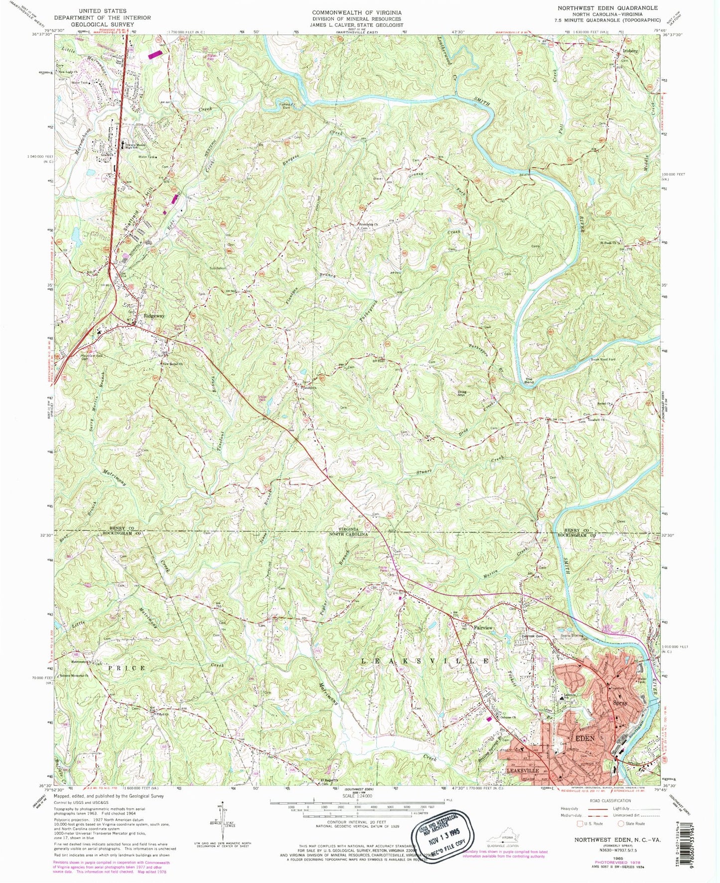
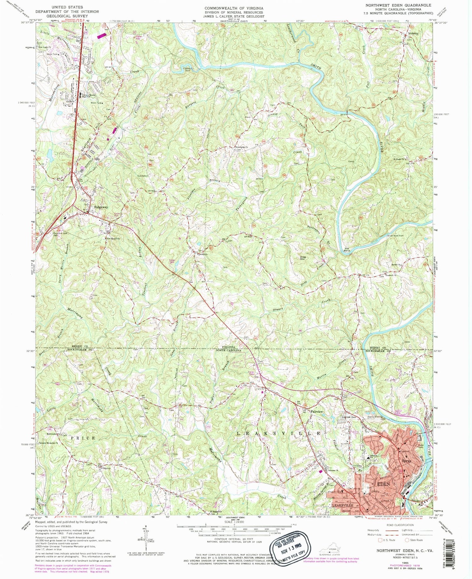
Classic USGS Northwest Eden North Carolina 7.5'x7.5' Topo Map
Couldn't load pickup availability
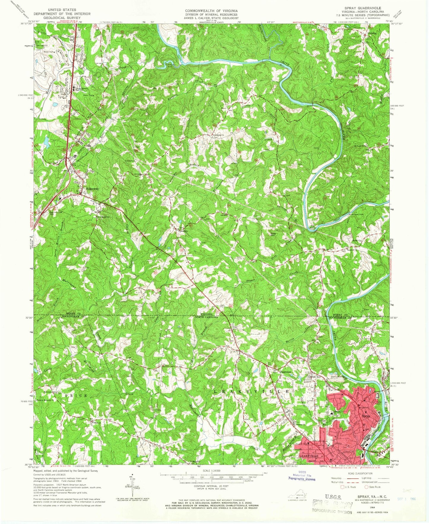
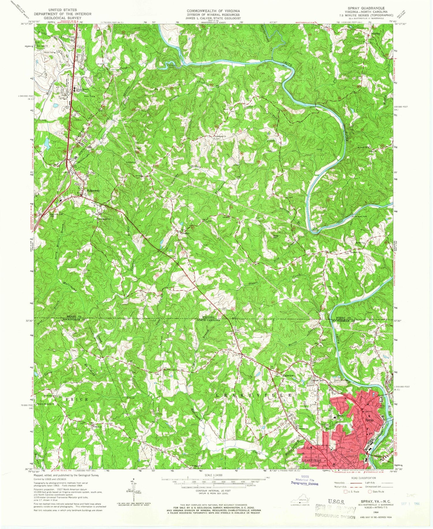
Historical USGS topographic quad map of Northwest Eden in the states of North Carolina, Virginia. Map scale may vary for some years, but is generally around 1:24,000. Print size is approximately 24" x 27"
This quadrangle is in the following counties: Henry, Rockingham.
The map contains contour lines, roads, rivers, towns, and lakes. Printed on high-quality waterproof paper with UV fade-resistant inks, and shipped rolled.
Contains the following named places: Bear Branch, Bethel Church, Black Knob School, Boiling Springs Branch, Brandywine Estates, Break Reed Ford, Burgess Creek, Drag Creek, Drag Mountain, Drewry Mason Middle School, Eden Fire Department Station 3, Egglestons Ford, El Bethel Presbyterian Church, Fairview, Fall Creek, Fishers Dam, Flanigan Branch, Floyd Baptist Church, Friendly Church, Friendship Church, Glen Court, Goodwill Church, Grace Church, Grassy Fork, Hamilton Hills, Holland School, Hopper School, Irisburg, Jones Branch, Joppa School, Lakeside Elementary School, Leaksville, Leatherwood Creek, Lithia Springs, Little Marrowbone Creek, Little Matrimony Creek, Long Island Ford, Marrowbone Creek, Marrowbone Heights, Marrowbone School, Martin Creek, Matrimony, Matrimony Primitive Baptist Church, Matrimony School, Meal Hill School, Middle Creek, Mountain View Cemetery, New Bethel Church, New Light Church, Norman School, Osborne Baptist Church, Overlook Cemetery, Poplar Branch, Pratt School, Quesenbury, Reds Creek, Ridgeway, Ridgeway District, Ridgeway District Volunteer Fire Department Station 1, Ridgeway District Volunteer Rescue Squad, Ridgeway Elementary School, Ridgeway Post Office, Roberts Memorial Baptist Church, Saint Pauls Church, Shannon Hills, Sheffield Hill, Sheffield Terrace, Spray, Spray Recreation Park, Stuart Creek, Surry Martin Branch, Tackett Branch, The Bend, Toeclout Branch, Town of Ridgeway, Trent School, Turkeycock Creek, Turkeypen Branch, Woodlawn Cemetery


