MyTopo
Classic USGS Northwest Goldsboro North Carolina 7.5'x7.5' Topo Map
Couldn't load pickup availability
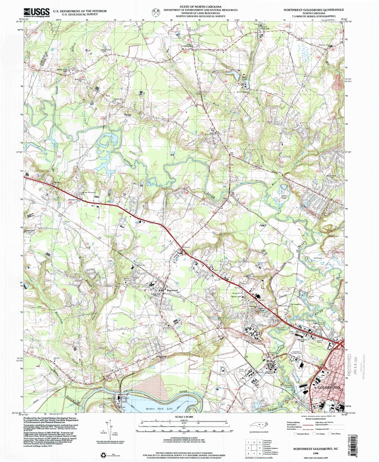
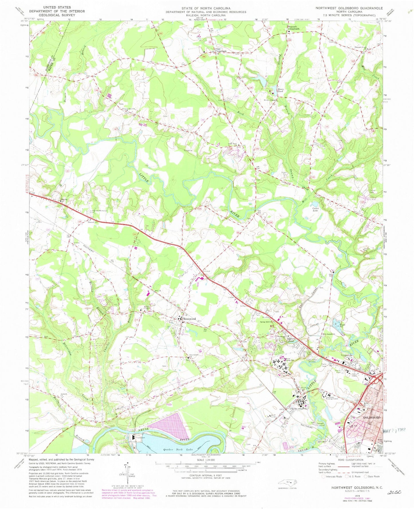
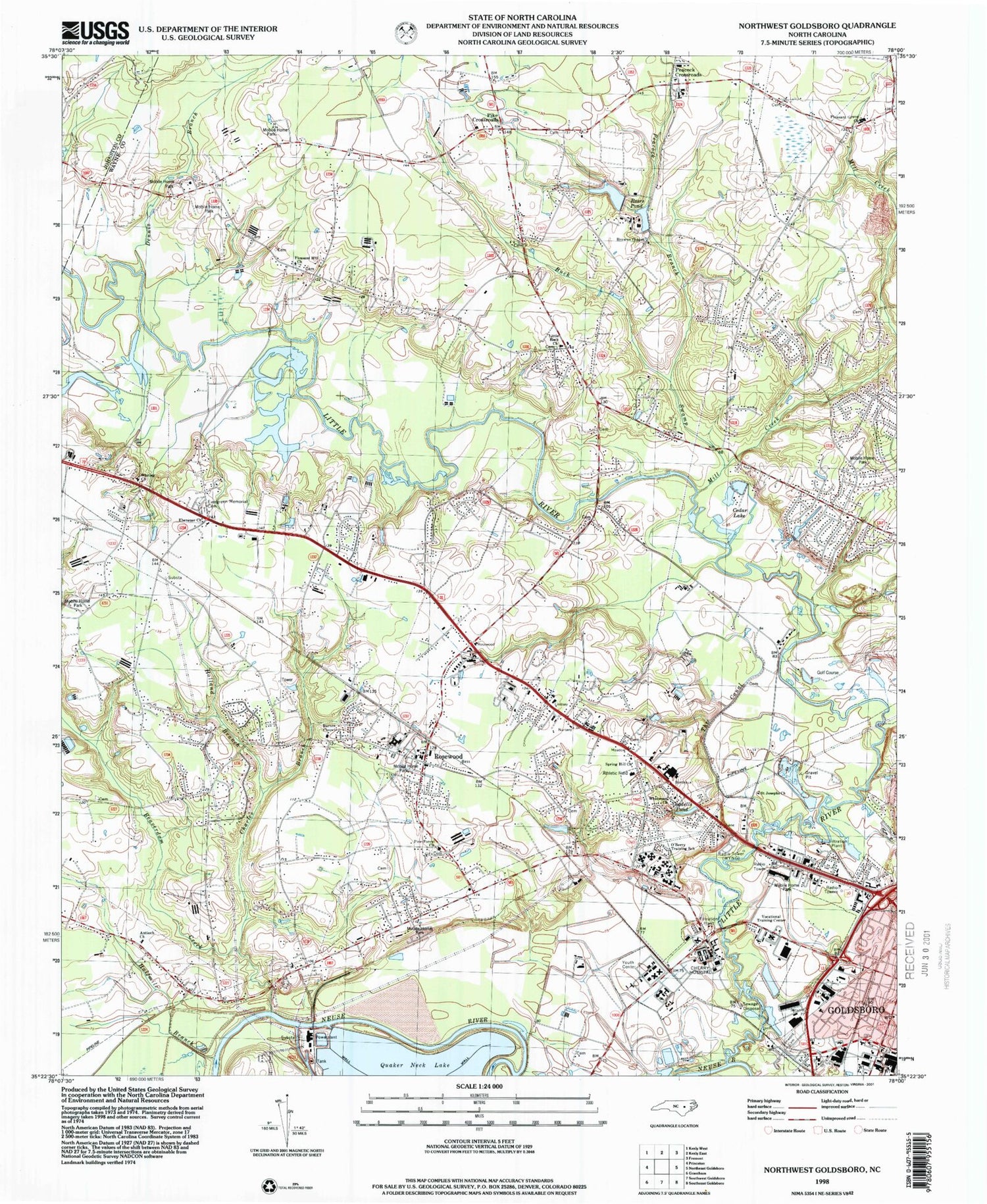
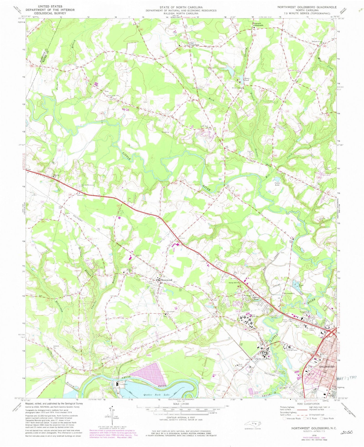
Historical USGS topographic quad map of Northwest Goldsboro in the state of North Carolina. Map scale may vary for some years, but is generally around 1:24,000. Print size is approximately 24" x 27"
This quadrangle is in the following counties: Johnston, Wayne.
The map contains contour lines, roads, rivers, towns, and lakes. Printed on high-quality waterproof paper with UV fade-resistant inks, and shipped rolled.
Contains the following named places: Antioch Baptist Church, Antioch Church, Barnes Chapel, Beaverdam Creek, Benton's Airfield, Borden Homes, Browns Chapel, Buck Swamp, Charles Branch, Cherry Hospital, Da-lin Mobile Home Park, Dees Mobile Home Park, Dennis Branch, Ebenezer Church, Evergreen Memorial Cemetery, Faith Free Will Baptist Church, Halfmile Branch, Holland Branch, Johnston Ambulance Service, Little River, Little River Volunteer Fire Department - Wayne County Station 24, Little Rock Church, Mill Creek, Mount Zion Church, Neuse Correctional Institution, North Carolina State Highway Patrol Troop C District 2, Now Faith Church, Oakland Volunteer Fire Department - Wayne County Station 14, O'Berry Neuro - Medical Treatment Center, O'Berry Training School, Partins Pond, Peacock Branch, Peacock Crossroads, Peele Acres, Pike Crossroads, Pine Frost Church, Pleasant Grove Church, Pleasant Hill Church, Quaker Neck Estates, Rosewood, Rosewood Elementary School, Rosewood Fire Department - Wayne County Station 13, Rosewood First Baptist Church, Rosewood Worship Center, Saint James African Methodist Episcopal Zion Church, Saint James Church of Christ, Saint Josephs Church, Saint Mark Church of Christ, School Street Elementary School, Spring Hill Church, Spring Hill Free Will Baptist Church, The Canal, Township of Buck Swamp, Township of Fork, Trinity Independent Baptist Church, WEQR-FM (Goldsboro), Westover, Westover II, Westwood Church, WGBR-AM (Goldsboro), Whitley Church, Woodhaven, WSSG-AM (Goldsboro), ZIP Code: 27530


