MyTopo
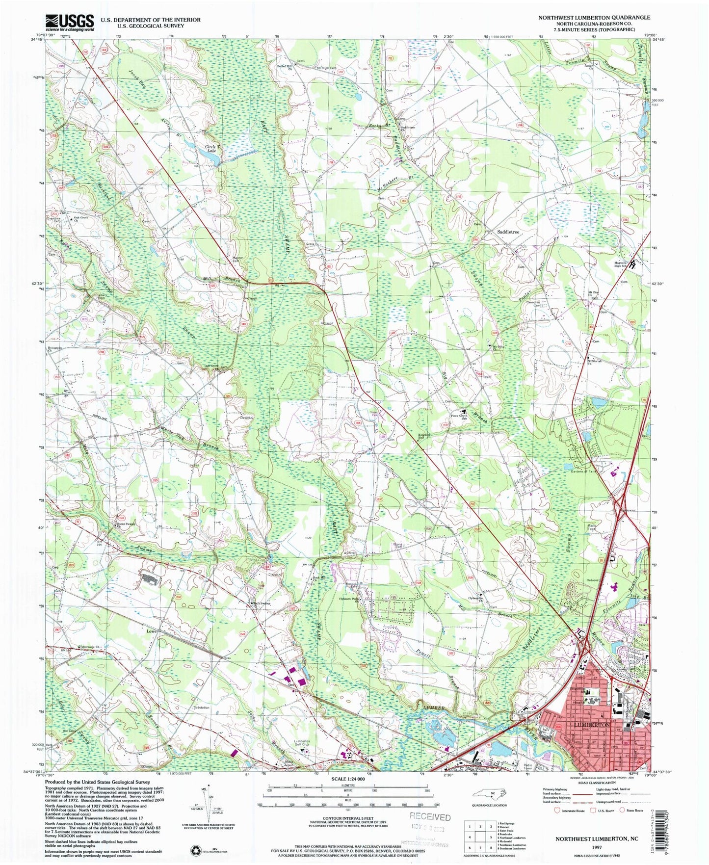
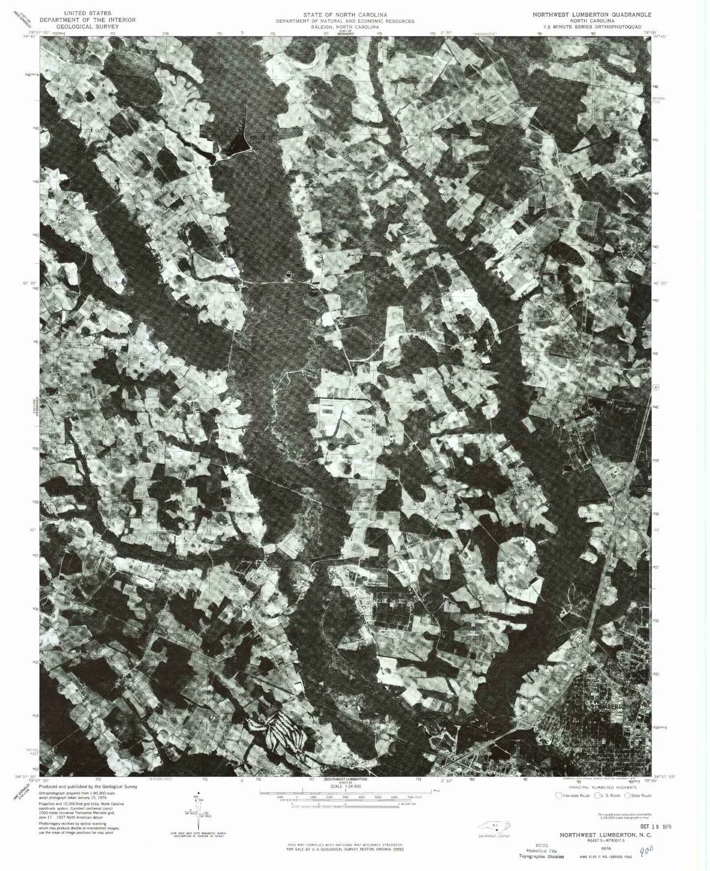
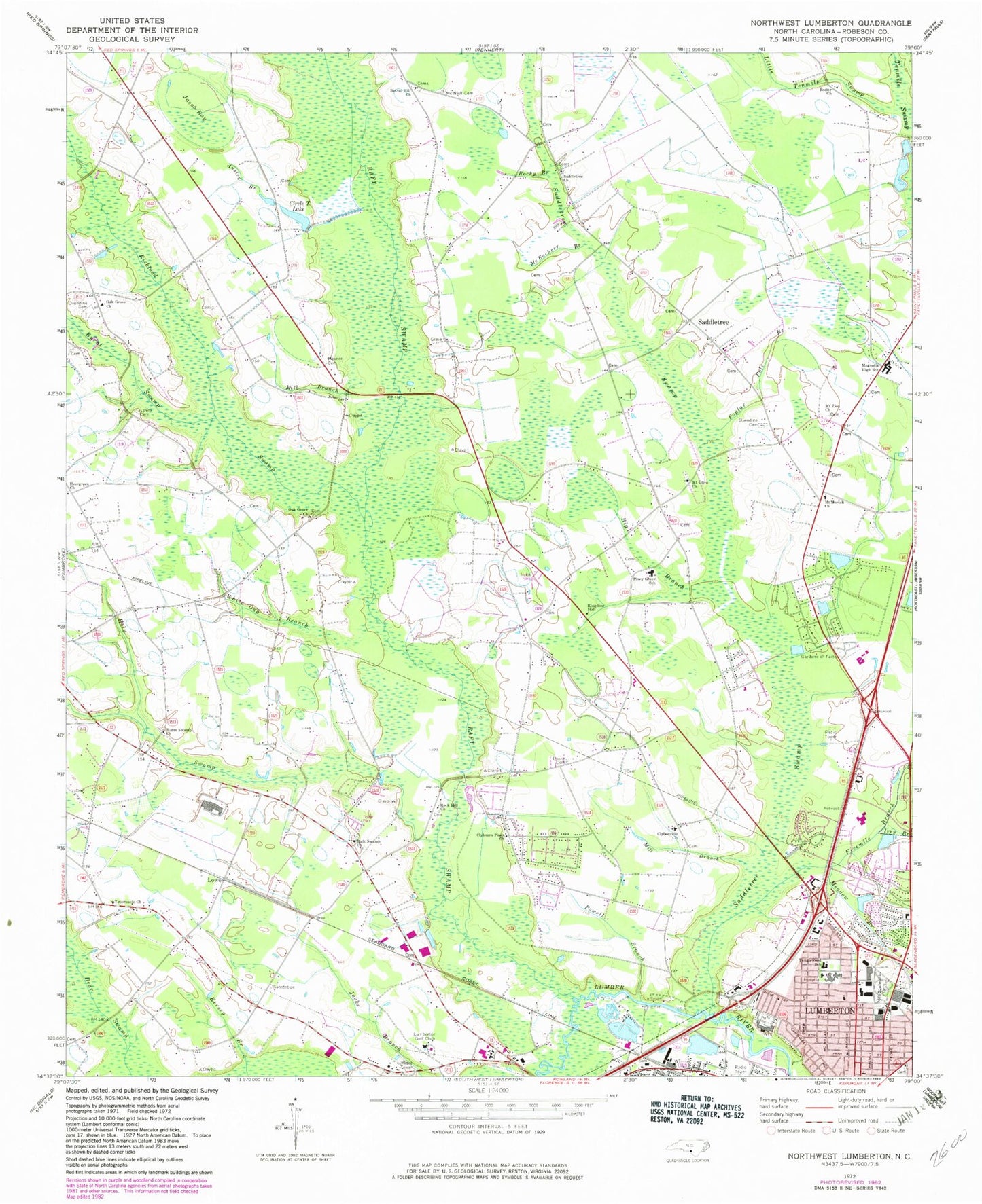
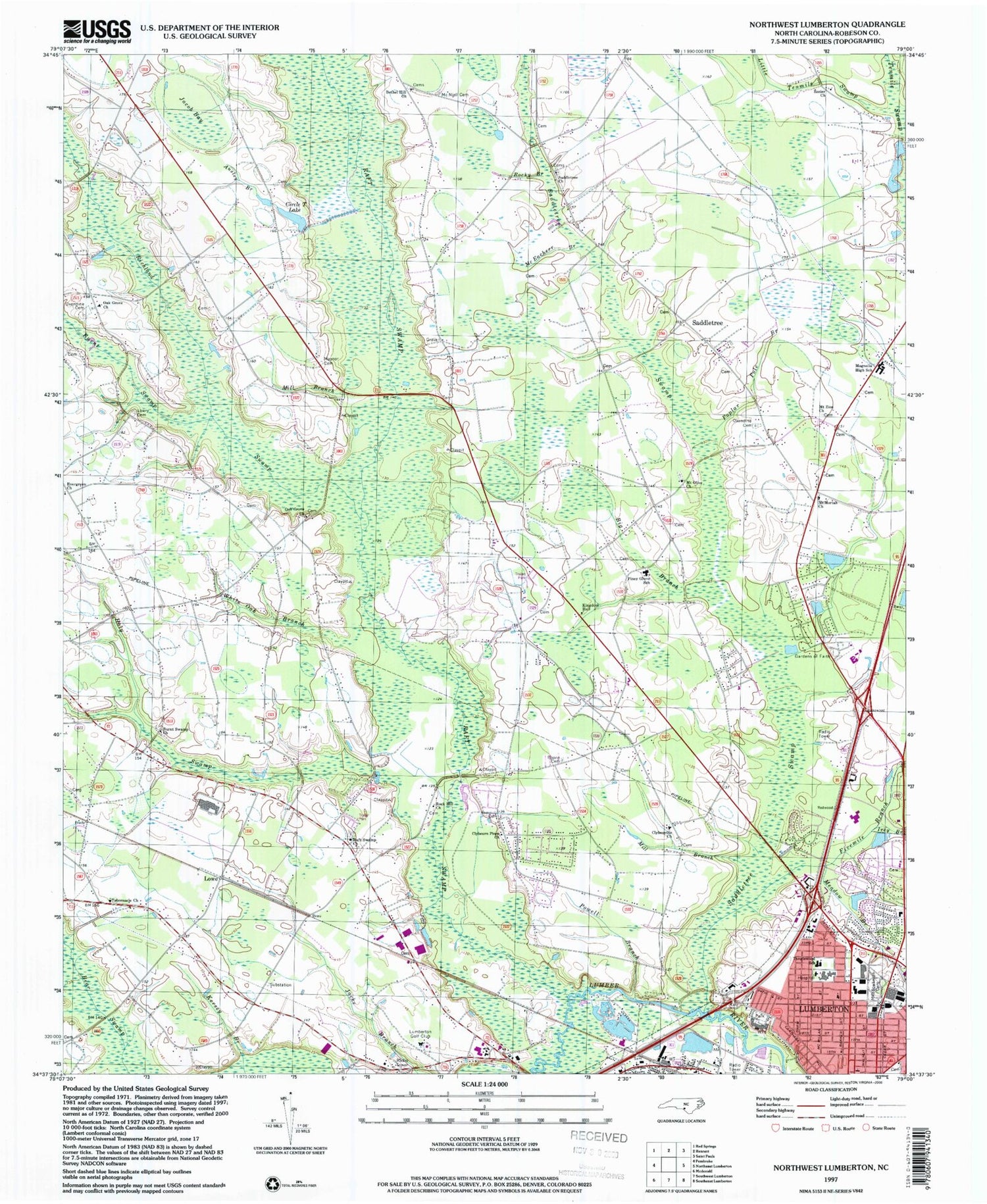
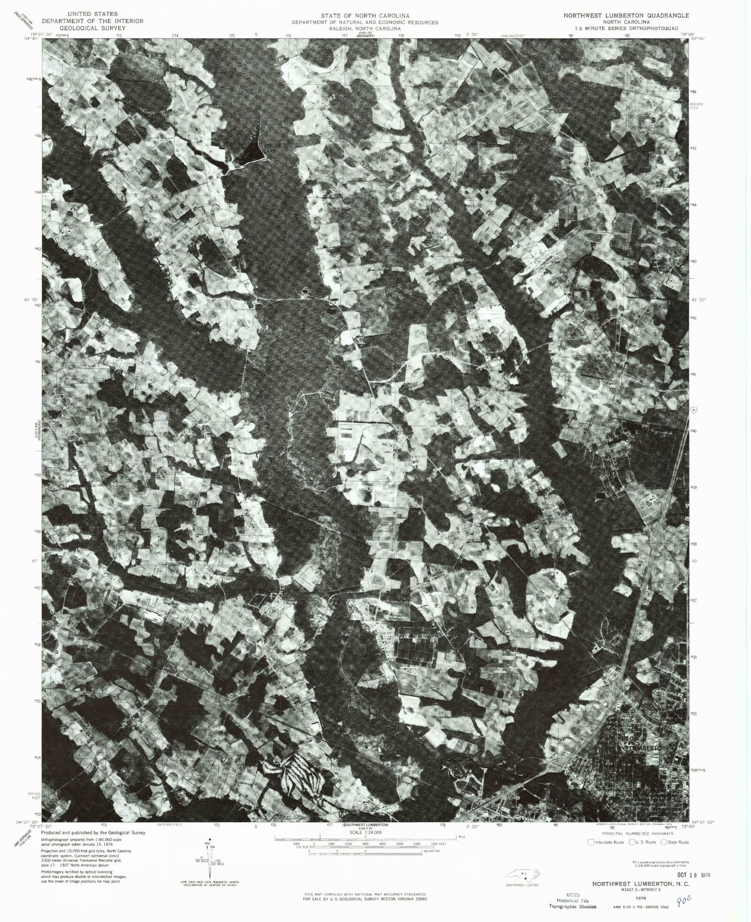
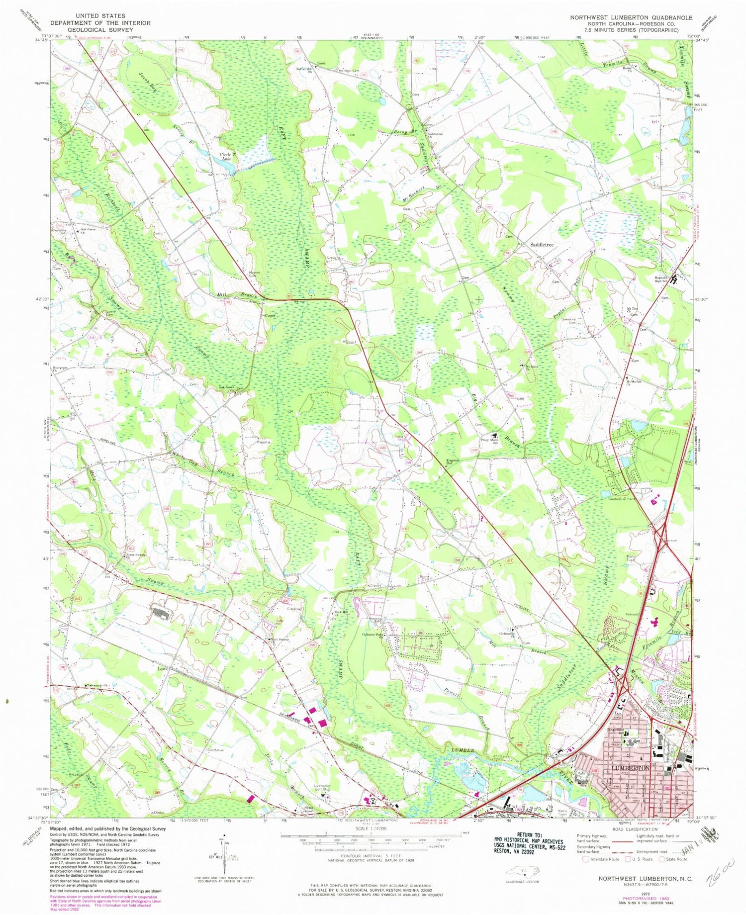
Classic USGS Northwest Lumberton North Carolina 7.5'x7.5' Topo Map
Couldn't load pickup availability
Historical USGS topographic quad map of Northwest Lumberton in the state of North Carolina. Map scale may vary for some years, but is generally around 1:24,000. Print size is approximately 24" x 27"
This quadrangle is in the following counties: Robeson.
The map contains contour lines, roads, rivers, towns, and lakes. Printed on high-quality waterproof paper with UV fade-resistant inks, and shipped rolled.
Contains the following named places: Ausley Branch, Bethel Hill Church, Big Branch, Biggs Park Mall Shopping Center, Boone Cemetery, Burnt Swamp, Burnt Swamp Church, Circle T Lake, City of Lumberton, Clybonville Church, Clybourn Pines Church, Evergreen Church, Fivemile Branch, Gardens of Faith, Glen Flora Nursing Home, Hermitage Retirement Center, Holy Swamp, Ivey Branch, Jacob Bay, Jimmys Mobile Court, Kingdom Hall, Little Tenmile Swamp, Lowe, Lowry Cemetery, Lumber River Shopping Center, Lumberton Fire Department Station 4, Lumberton Golf Club, Lumberton Middle School, Lumberton Rescue Unit and Emergency Medical Services, Magnolia High School, Maynor Cemetery, McEacher Branch, McNeill Cemetery, Meadow Branch, Meadowbrook Cemetery, Mill Branch, Mount Moriah Church, Mount Olive Church, Mount Zion Church, North Carolina State Highway Patrol Troop B District 7, Oak Grove Church, Oxendine Cemetery, Poplar Pole Branch, Powell Branch, Raft Swamp, Raft Swamp Church, Raft Swamp Fire Department, Richland Swamp, Robeson County, Robeson County Mental Health Agency, Rock Hill Church, Rocky Branch, Rozier Church, Saddletree, Saddletree Church, Saddletree Swamp, Saddletree Volunteer Fire Department, Southeastern Regional Medical Center, Tabernacle Church, Tanglewood School, Township of Burnt Swamp, Township of Lumberton, Township of Raft Swamp, Township of Saddletree, WGSS-FM (Lumberton), White Oak Branch, WTSB-AM (Lumberton), ZIP Code: 28360
