MyTopo
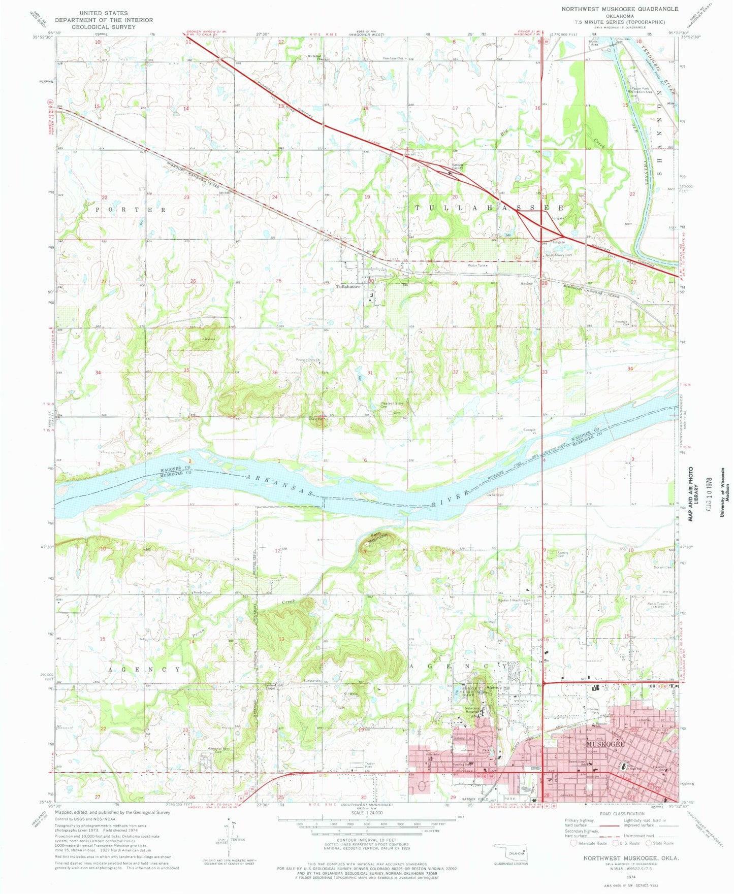
Classic USGS Northwest Muskogee Oklahoma 7.5'x7.5' Topo Map
Couldn't load pickup availability
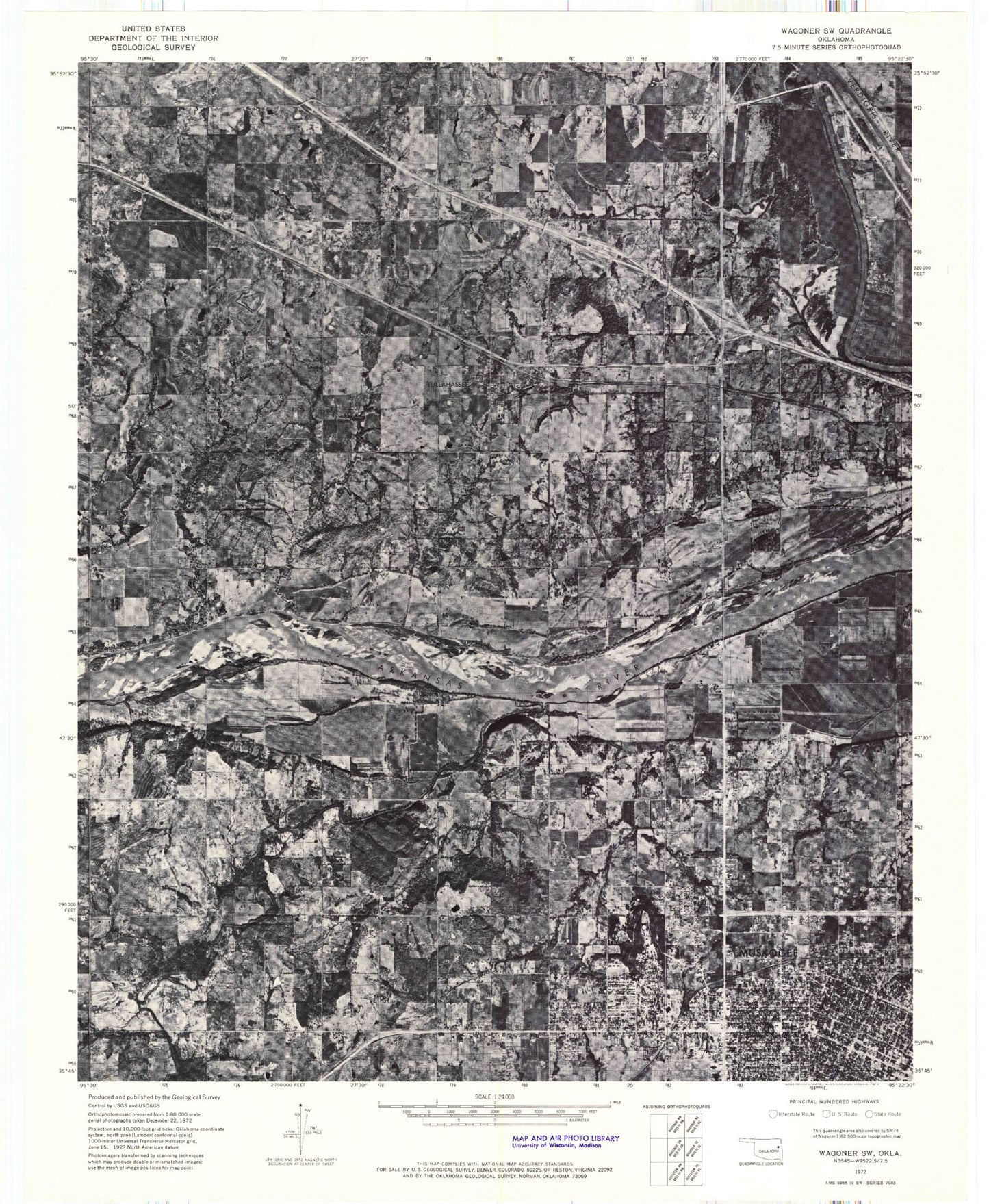
Historical USGS topographic quad map of Northwest Muskogee in the state of Oklahoma. Map scale may vary for some years, but is generally around 1:24,000. Print size is approximately 24" x 27"
This quadrangle is in the following counties: Muskogee, Wagoner.
The map contains contour lines, roads, rivers, towns, and lakes. Printed on high-quality waterproof paper with UV fade-resistant inks, and shipped rolled.
Contains the following named places: Agency Cemetery, Agency Hill, Anchor, Benjamin Franklin Science Academy, Big Creek, Booker T Washington Cemetery, Boston Avenue Baptist Church, Boulevard Christian School, Broadway Shopping Center, Chouteau Dam, Church of Christ, Cornerstone Specialty Hospitals Muskogee, Creek Agency, Durant Cemetery, Fern Mountain, First Baptist Church, Fountain Church, Honer Heights Lake Dam, Honor Heights Lake, Honor Heights Park, Honor Heights Plaza, Honor Heights United Methodist Church, Jack C Montgomery Veterans Affairs Medical Center, KHJM-FM (Taft), KMUS-AM (Muskogee), Memorial Christian Church, Memorial Park Cemetery, Mount Bethel Cemetery, Mount Bethel Church, Muskogee Early Childhood Center, Muskogee Regional Medical Center Heliport, Nelson Chapel Cumberland Church, Old Agency Baptist Church, Pecan Creek, Pecan Park Recreation Area, Pershing Elementary School, Peters Chapel, Pleasant Grove Cemetery, Pleasant Grove Church, Rooney Park, Sacred Heart School, Saint Francis Hospital Muskogee, Saint Joseph Church, Saint Paul United Methodist Church, Sanders Chapel, Town of Tullahassee, Township of Agency, Township of Tallahasse, Trinity Full Gospel Church, Tullahassee, Tullahassee Volunteer Fire Department, Turner Hill Park, Unity Center of Muskogee Church, Vans Lake Church, Virgils Beauty College, West Junior High School, West Side Church of Christ, Wheatley School, Wyche Cemetery


