MyTopo
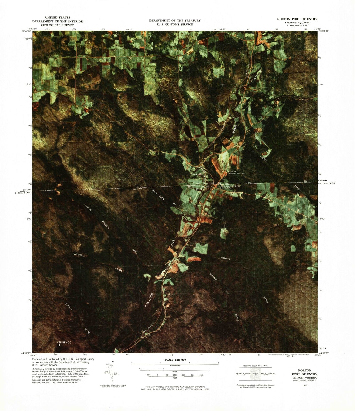
Classic USGS Norton Port of Entry Vermont 7.5'x7.5' Topo Map
Couldn't load pickup availability
Historical USGS topographic quad map of Norton Port of Entry in the state of Vermont. Map scale may vary for some years, but is generally around 1:24,000. Print size is approximately 24" x 27"
This quadrangle is in the following counties: Essex.
The map contains contour lines, roads, rivers, towns, and lakes. Printed on high-quality waterproof paper with UV fade-resistant inks, and shipped rolled.
Contains the following named places: Averill Creek, Black Turn Brook, Church Hill, Davis Brook, Gaudette Brook, Gaudette Tote Road, Mosher Meadow Brook, Norton, Norton Post Office, Norton Village School, Number Five Brook, Number Six Brook, Number Six Road, Old Catholic Cemetery, Saint Bernards Cemetery, Saint Bernards Church, Swanson Dam, Town of Norton