MyTopo
Classic USGS Nortonville Illinois 7.5'x7.5' Topo Map
Couldn't load pickup availability
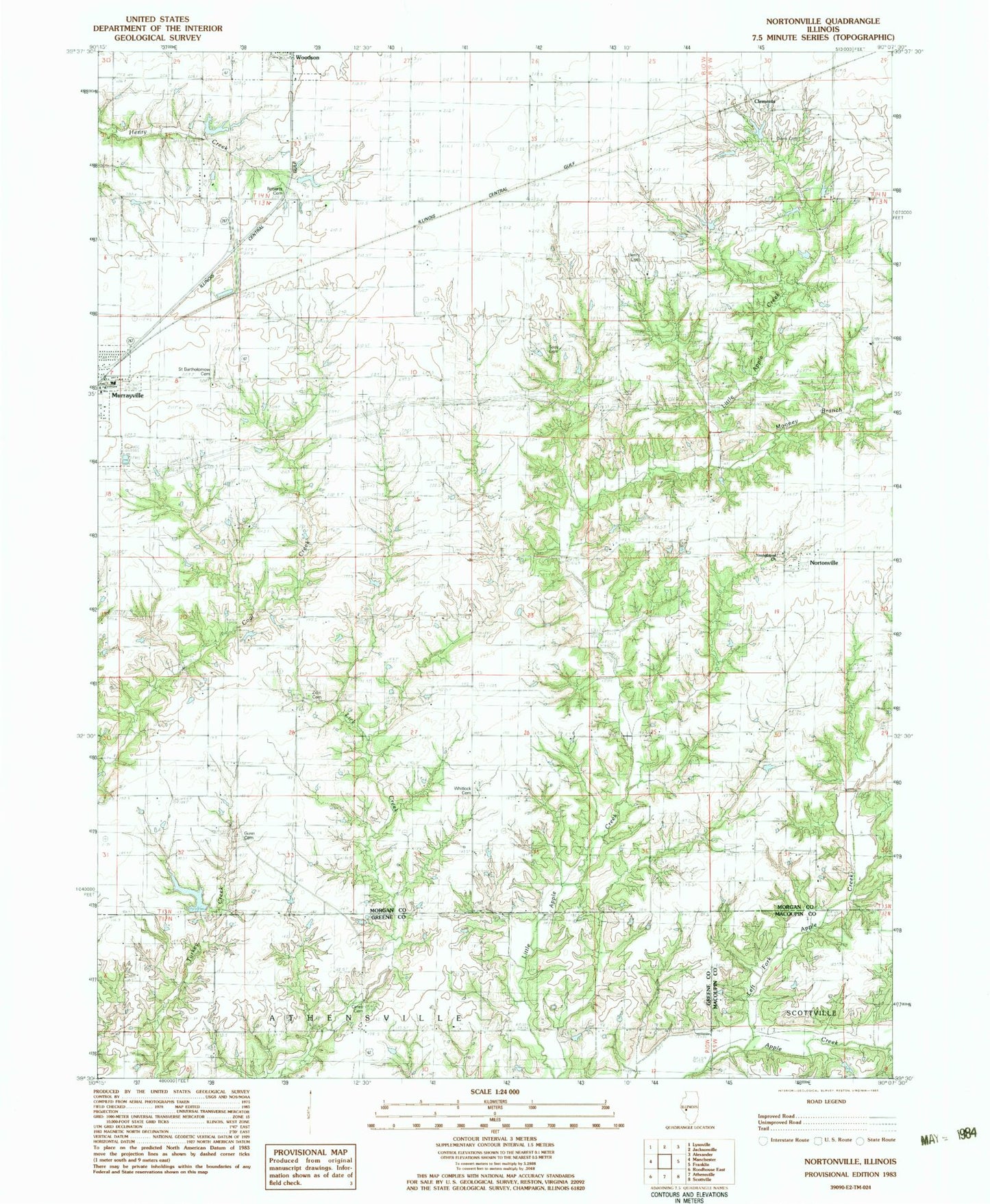
Historical USGS topographic quad map of Nortonville in the state of Illinois. Map scale may vary for some years, but is generally around 1:24,000. Print size is approximately 24" x 27"
This quadrangle is in the following counties: Greene, Macoupin, Morgan.
The map contains contour lines, roads, rivers, towns, and lakes. Printed on high-quality waterproof paper with UV fade-resistant inks, and shipped rolled.
Contains the following named places: Brush College, Central Point School, Ceres Cemetery, Ceres School, Clements, Davis Cemetery, Durbin School, East Greasy School, Gunn Cemetery, Henry Cemetery, Hill Crest School, Kennedy School, Left Fork Apple Creek, Little Apple Creek School, Mooney Branch, Murrayville - Woodson Emergency Medical Services, Murrayville Election Precinct, Murrayville Number 1 Election Precinct, Murrayville Woodson Lake, Murrayville Woodson Lake Dam, Murrayville-Woodson Elementary School, Nation School, Nortonville, Nortonville Election Precinct, Pleasant Hill School, Roberts Cemetery, Rock Branch, Saint Bartholomew Cemetery, Sooy Cemetery, Spencer School, Union Grove Church, Union Grove School, Ware Brothers Pond, Ware Brothers Pond Dam, West Greasy School, Whitlock Cemetery, Youngblood Cemetery, Youngblood Church, Zion Church, Zion Number One Cemetery, ZIP Code: 62668