MyTopo
Classic USGS Norwich Pennsylvania 7.5'x7.5' Topo Map
Couldn't load pickup availability
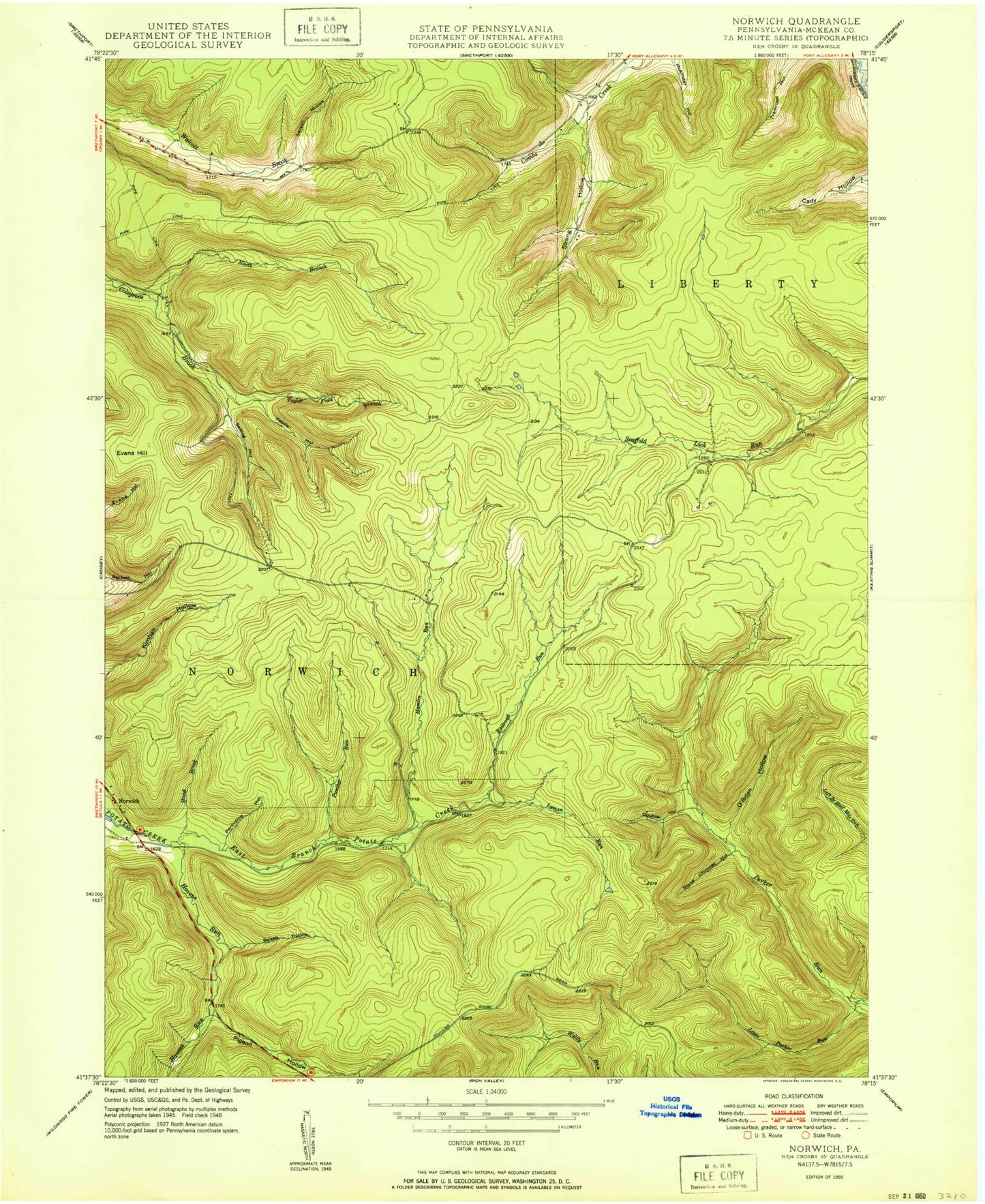
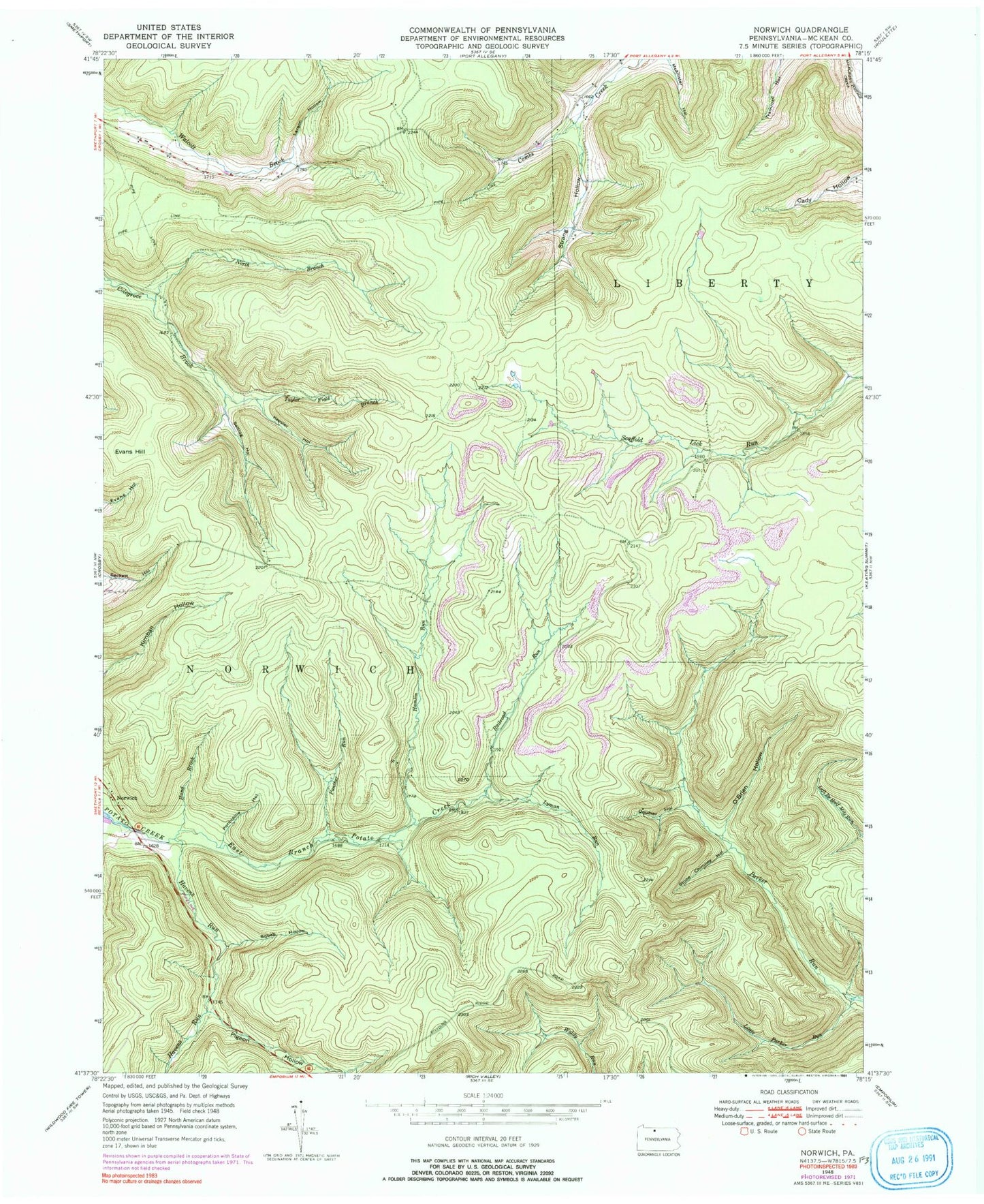
Historical USGS topographic quad map of Norwich in the state of Pennsylvania. Typical map scale is 1:24,000, but may vary for certain years, if available. Print size: 24" x 27"
This quadrangle is in the following counties: McKean.
The map contains contour lines, roads, rivers, towns, and lakes. Printed on high-quality waterproof paper with UV fade-resistant inks, and shipped rolled.
Contains the following named places: Doubler Hollow, East Branch Potato Creek, Evans Hill, Hamlin Run, Hand Brook, Havens Run, Keesler Hollow, Larson Hollow, Little Parker Run, Lyman Run, North Branch Colegrove Brook, O'Brien Hollow, Panther Run, Pigeon Hollow, Porcupine Hollow, Railroad Run, Saltlog Hollow, Squab Hollow, Stone Chimney Hollow, Strang Hollow, Taylor Field Branch, Jay Cox Hill, Norwich, State Game Lands Number 30, Susquehanna State Forest, Township of Norwich


