MyTopo
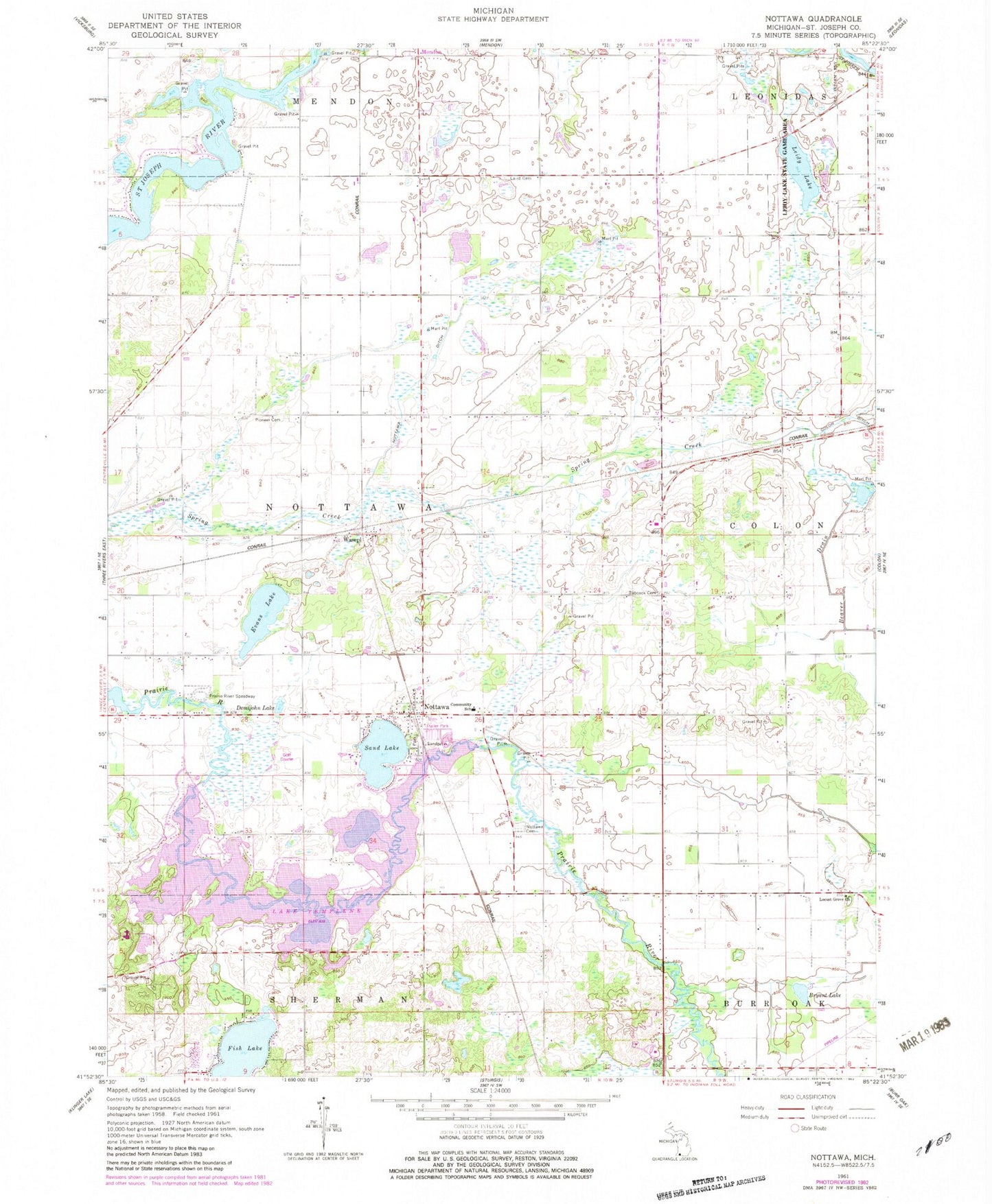
Classic USGS Nottawa Michigan 7.5'x7.5' Topo Map
Couldn't load pickup availability
Historical USGS topographic quad map of Nottawa in the state of Michigan. Map scale may vary for some years, but is generally around 1:24,000. Print size is approximately 24" x 27"
This quadrangle is in the following counties: St. Joseph.
The map contains contour lines, roads, rivers, towns, and lakes. Printed on high-quality waterproof paper with UV fade-resistant inks, and shipped rolled.
Contains the following named places: Babcock Cemetery, Beaver Drain, Bryant Lake, Camel Lake, Centreville Seventh Day Adventist Church, Demijohn Lake, Evans Lake, Fish Lake, Glen Oaks Community College, Hidden Pond Campground, Island Hills Golf Club, Laird Cemetery, Lake Area Christian School, Lake Templene, Leidy Lake, Leidy Lake Campground, Leidy Lake State Game Area, Locust Grove Church, Locust Grove Mennonite Cemetery, Michiana Mobile Home Park, Nottawa, Nottawa Cemetery, Nottawa Christian Day School, Nottawa Community School, Nottawa Ditch, Nottawa Fruit Farm, Nottawa Park, Nottawa Post Office, Pilgrim Fellowship Church, Pioneer Cemetery, Prairie River Speedway, Riverside Apple Farm, Saint Joe Valley Golf Course, Sand Lake, Sauger Lake, Seven Sons Ranch, Sylvan Lake, Township of Nottawa, Wasepi, Wasepi Mennonite Chapel, Wasepi Post Office, Wasepi Station, Word Fellowship Church, ZIP Code: 49075


