MyTopo
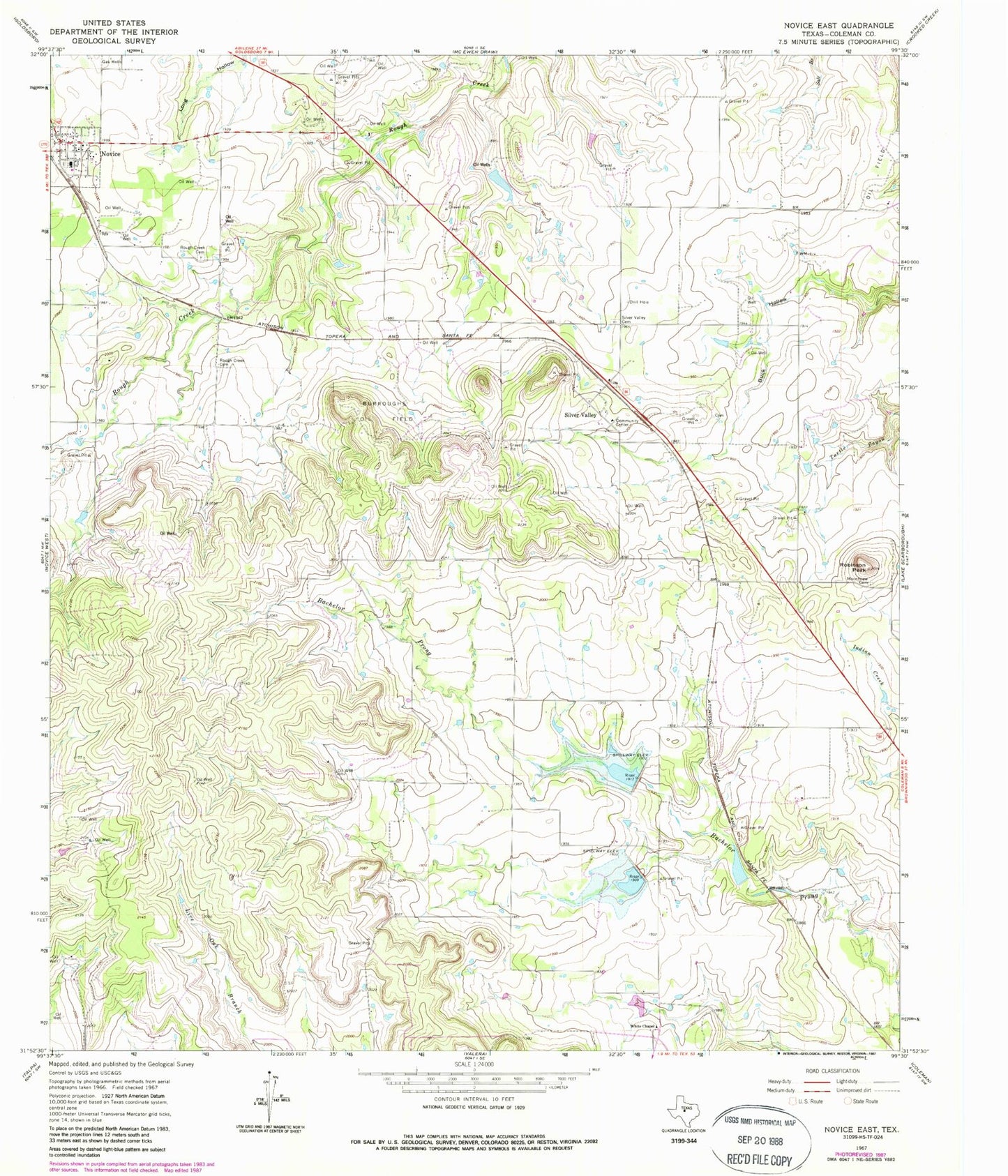
Classic USGS Novice East Texas 7.5'x7.5' Topo Map
Couldn't load pickup availability
Historical USGS topographic quad map of Novice East in the state of Texas. Map scale may vary for some years, but is generally around 1:24,000. Print size is approximately 24" x 27"
This quadrangle is in the following counties: Coleman.
The map contains contour lines, roads, rivers, towns, and lakes. Printed on high-quality waterproof paper with UV fade-resistant inks, and shipped rolled.
Contains the following named places: Anderson Cemetery, Burroughs Oil Field, Hughes Dam, Hughes Lake, Mount View Cemetery, Novice, Novice Division, Novice Post Office, Robinson Peak, Rough Creek Cemetery, Santa Fe Lake, Santa Fe Railroad Dam, Silver Valley, Silver Valley Cemetery, Soil Conservation Service Site 33 Dam, Soil Conservation Service Site 33 Reservoir, Soil Conservation Service Site 34a Dam, Soil Conservation Service Site 34a Reservoir, Soil Conservation Service Site 35 Dam, Soil Conservation Service Site 35 Reservoir, White Chapel