MyTopo
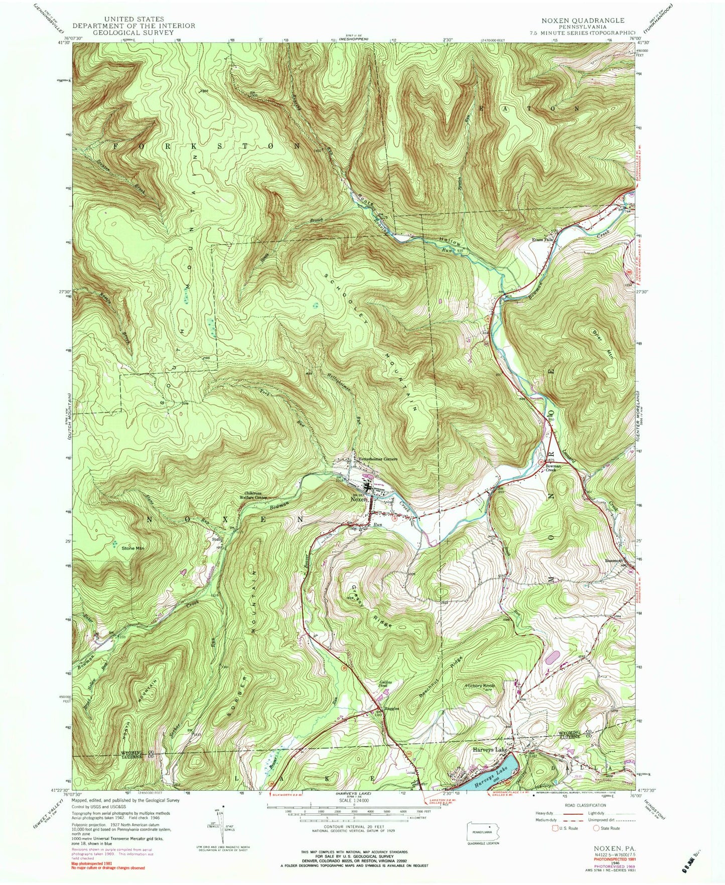
Classic USGS Noxen Pennsylvania 7.5'x7.5' Topo Map
Couldn't load pickup availability
Historical USGS topographic quad map of Noxen in the state of Pennsylvania. Typical map scale is 1:24,000, but may vary for certain years, if available. Print size: 24" x 27"
This quadrangle is in the following counties: Luzerne, Wyoming.
The map contains contour lines, roads, rivers, towns, and lakes. Printed on high-quality waterproof paper with UV fade-resistant inks, and shipped rolled.
Contains the following named places: Baker Run, Beaver Run, Beechnut Ridge, Brier Mountain, Broad Hollow Run, Evans Falls, Galkas Pond, Grassy Ridge, Harveys Lake, Hettesheimer Corners, Hettesheimer Run, Hickory Knob, Leonard Creek, Newton Run, Noxen, Roaring Run, Roote Hollow, Schooley Mountain, Sorber Mountain, Sorber Run, South Branch Roaring Run, South Mountain, South Run, Stone Mountain, Stone Run, Windfall Run, York Run, Bowman Creek, Ruggles, Stull, Township of Monroe, Township of Noxen, Noxen Census Designated Place, Noxen Volunteer Fire Company, Harveys Lake Fire Department Station 138, Noxen Community Ambulance, Alderson Cemetery


