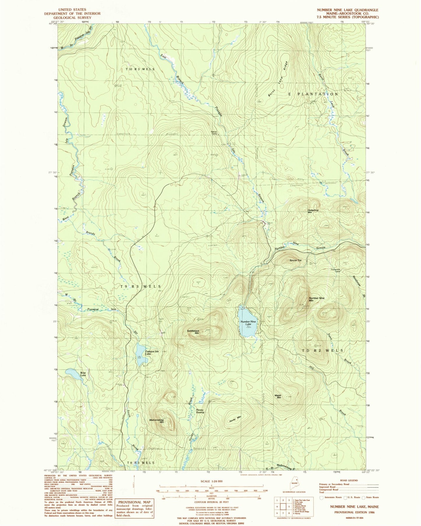
MyTopo
Classic USGS Number Nine Lake Maine 7.5'x7.5' Topo Map
Regular price
$16.95
Regular price
Sale price
$16.95
Unit price
per
Couldn't load pickup availability
Historical USGS topographic quad map of Number Nine Lake in the state of Maine. Map scale may vary for some years, but is generally around 1:24,000. Print size is approximately 24" x 27"
This quadrangle is in the following counties: Aroostook.
The map contains contour lines, roads, rivers, towns, and lakes. Printed on high-quality waterproof paper with UV fade-resistant inks, and shipped rolled.
Contains the following named places: Brandy Brook, Burnt Land Ridge, Finnemore Camp, Hedgehog Mountain, Hovey Mountain, Hovey Swamp, Mahan Camp, Maple Mountain, Meduxnekeag Mountain, Number Nine Lake, Number Nine Mountain, Presque Isle Lake, Saddleback Mountain, Spruce Top, T9 R3 WELS, West Lake