MyTopo
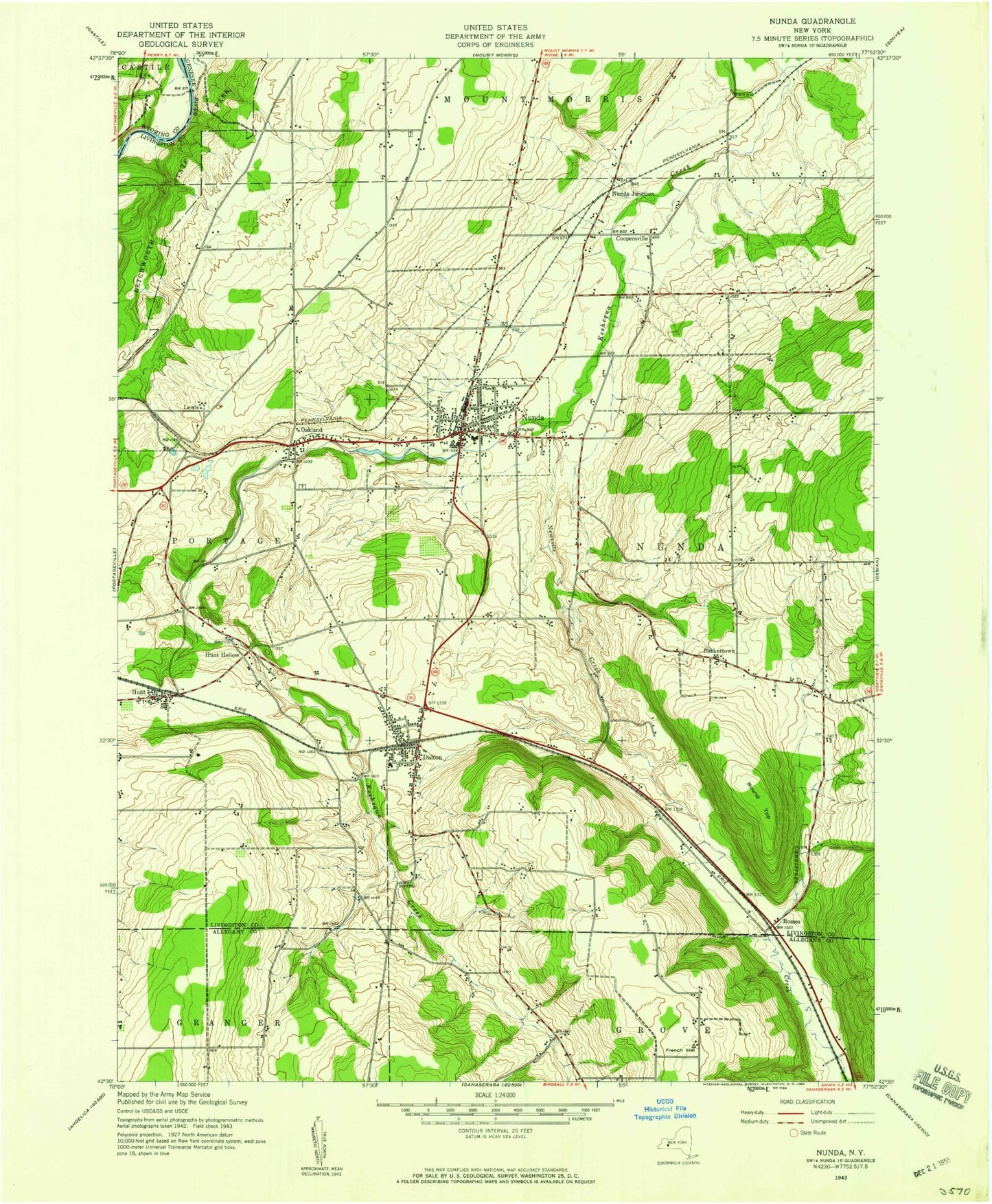
Classic USGS Nunda New York 7.5'x7.5' Topo Map
Couldn't load pickup availability
Historical USGS topographic quad map of Nunda in the state of New York. Map scale may vary for some years, but is generally around 1:24,000. Print size is approximately 24" x 27"
This quadrangle is in the following counties: Allegany, Livingston, Wyoming.
The map contains contour lines, roads, rivers, towns, and lakes. Printed on high-quality waterproof paper with UV fade-resistant inks, and shipped rolled.
Contains the following named places: Barkertown, Colonel George Williams And Family Cemetery, Coopersville, Coopersville - Jones Cemetery, Dalton, Dalton Assembly of God, Dalton Cemetery, Dalton Census Designated Place, Dalton Elementary School, Dalton Post Office, Dalton United Methodist Church, Dan Mar Ranch, Holy Angels Church, Hunt, Hunt Baptist Church, Hunt Census Designated Place, Hunt Hollow, Hunt Post Office, Keshequa Middle School, Keshequa Senior High School, Lawson Pit, Lewis, Newville Creek, Nunda, Nunda Fire Department, Nunda Junction, Nunda Post Office, Nunda Reservoir, Nunda Rod and Gun Club, Nunda United Methodist Church, Nunda Village Sewage Treatment Plant, Oakhill Farm And Ranch, Oakland, Oakland Cemetery, Oakland Wesleyan Church, Oakwood Cemetery, Rattlesnake Hill State Wildlife Management Area, Roll-N-View Farm, Rosses, Round Top, Saint Helena Cemetery, Seager Cemetery, Town of Nunda, Town of Portage, Trinity Church of Nunda, Triple Creek Golf Club, Union Cemetery, Village of Nunda, Woodlynn Hills Golf Course, ZIP Code: 14517


