MyTopo
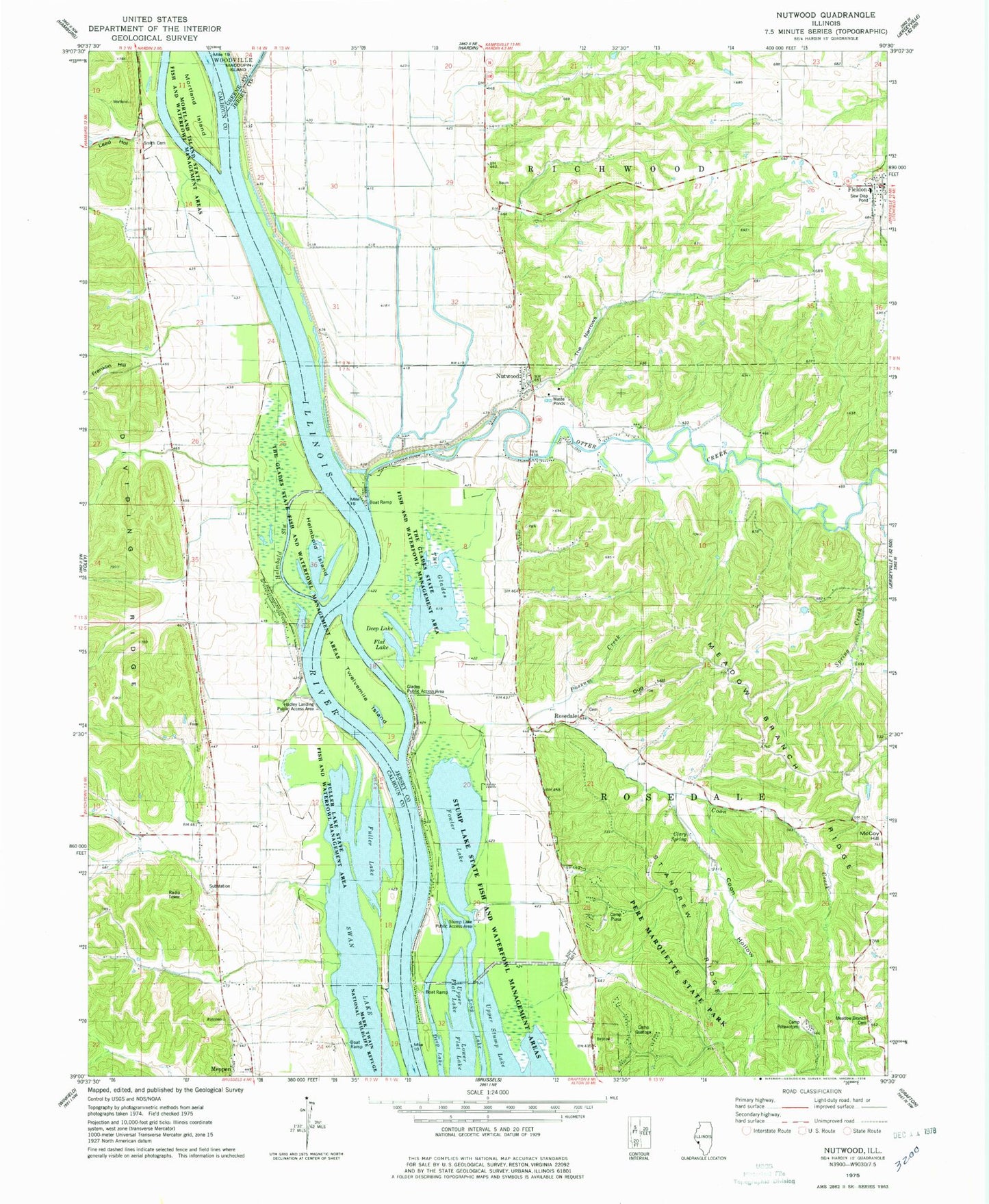
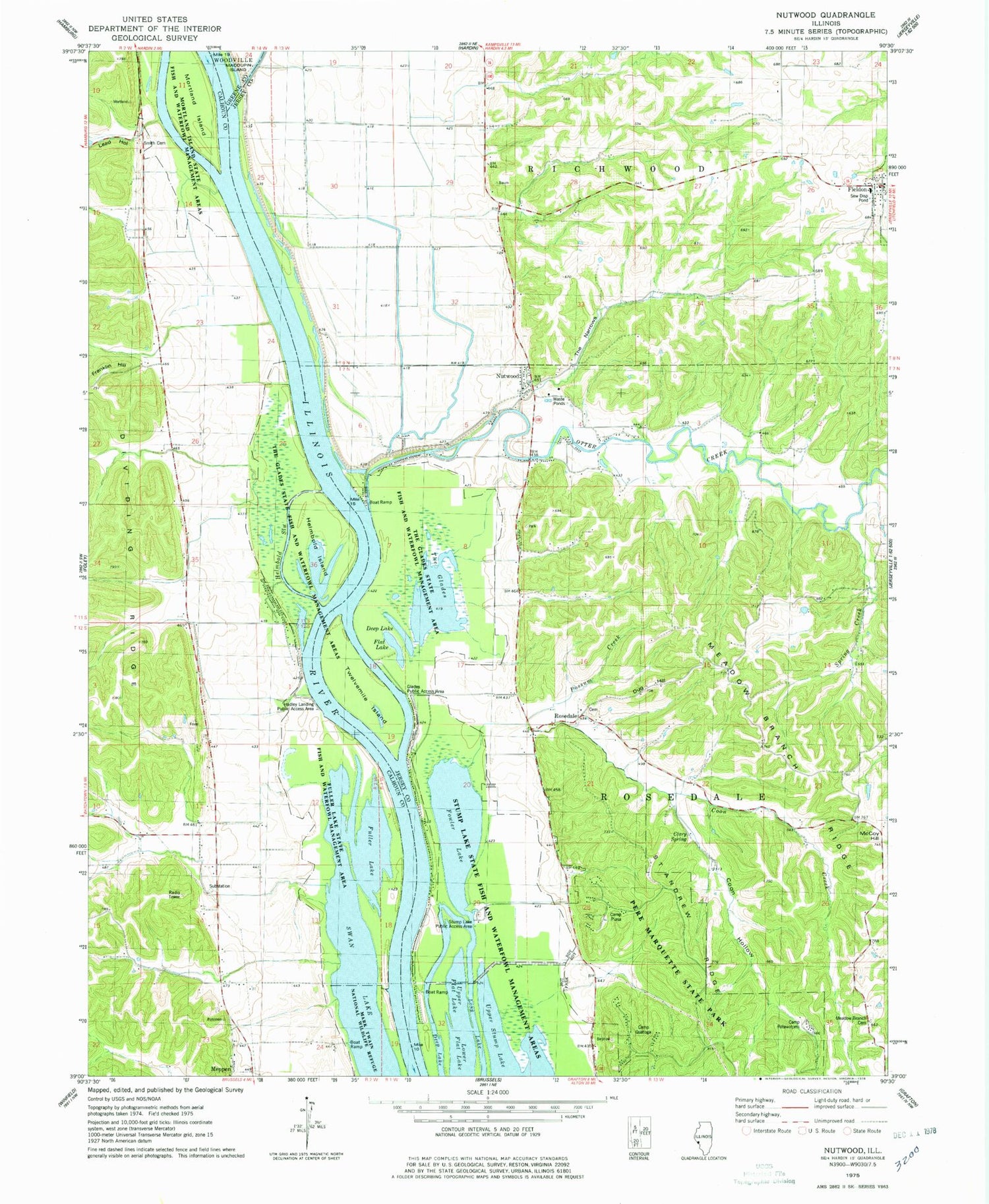
Classic USGS Nutwood Illinois 7.5'x7.5' Topo Map
Couldn't load pickup availability
Historical USGS topographic quad map of Nutwood in the state of Illinois. Typical map scale is 1:24,000, but may vary for certain years, if available. Print size: 24" x 27"
This quadrangle is in the following counties: Calhoun, Greene, Jersey.
The map contains contour lines, roads, rivers, towns, and lakes. Printed on high-quality waterproof paper with UV fade-resistant inks, and shipped rolled.
Contains the following named places: Camp Piasa, Camp Potawatomi, Camp Quatoga, Clary Spring, Coon Creek, Coon Hollow, Deep Lake, Dug Hill, Flat Lake, Fowler Lake, Franklin Hill, Fuller Lake, Fuller Lake State Fish and Waterfowl Management Area, Glades Public Access Area, Helmbold Island, Helmbold Slough, Lead Hollow, Long Lake, Lower Flat Lake, McCoy Hill, Meadow Branch Cemetery, Meadow Branch Ridge, Mortland Island, Mortland Island State Fish and Waterfowl Man, Nutwood, Otter Creek, Possum Creek, Rosedale, Saint Andrew Ridge, Smith Cemetery, Spring Creek, Stump Lake Public Access Area, Stump Lake State Fish and Waterfowl Manageme, The Glades, The Glades State Fish and Waterfowl Manageme, The Narrows, Twelvemile Island, Upper Flat Lake, Upper Stump Lake, Hadley Landing Public Access Area, Township of Rosedale, Lone Star School (historical), McKinley School (historical), Meadow Branch School (historical), Pleasant Cove School (historical), Reardon, Saint Andrew School (historical), Teneriffe School (historical), Bundy Lake, Franklin School (historical), Fuller Landing, Monterey School (historical), Oases School (historical), Union School (historical), Rosedale Cemetery, Fieldon Elementary, Pere Marquette Nature Preserve, Rosedale Township Fire Protection District, Fieldon Volunteer Fire Department


