MyTopo
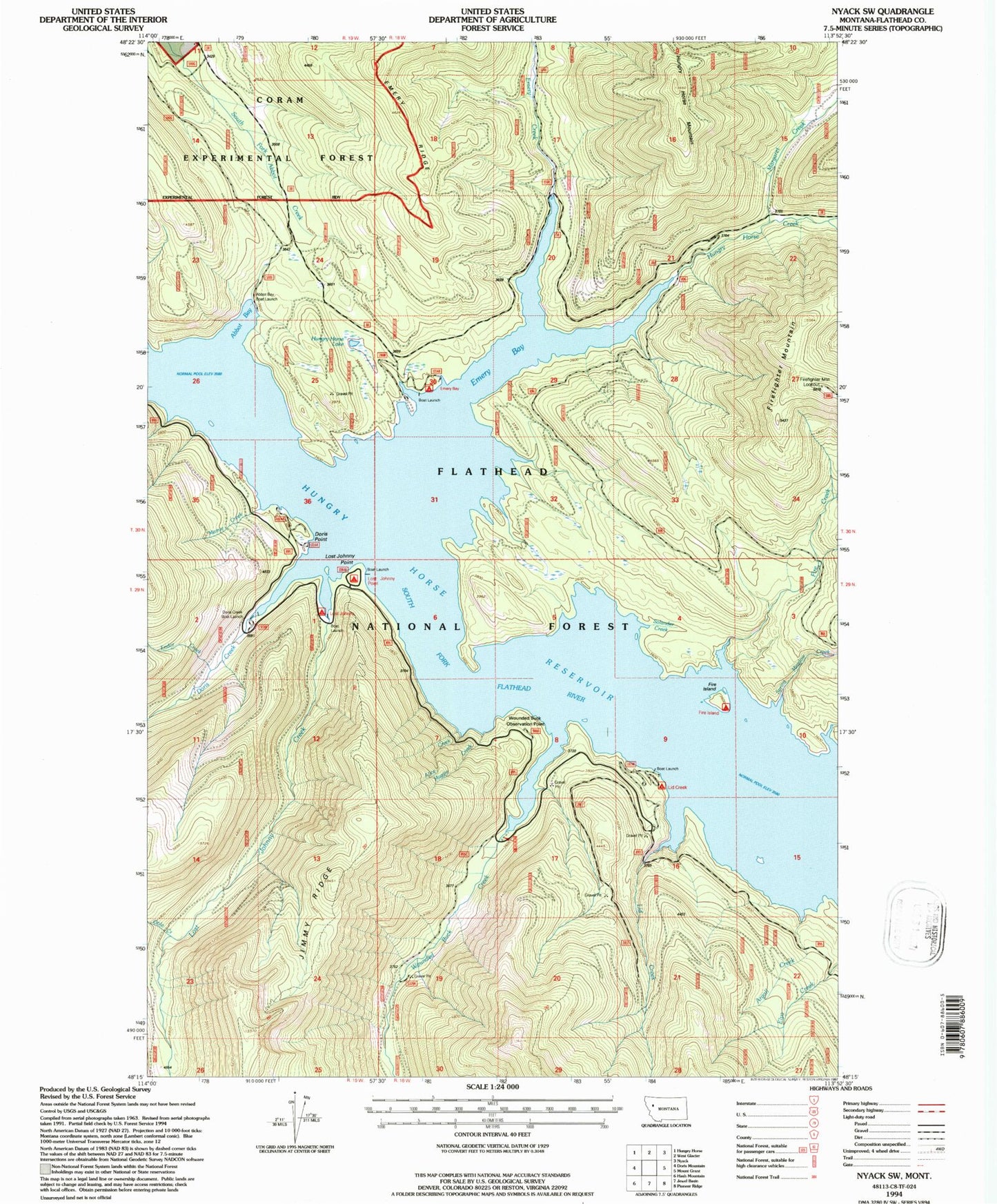
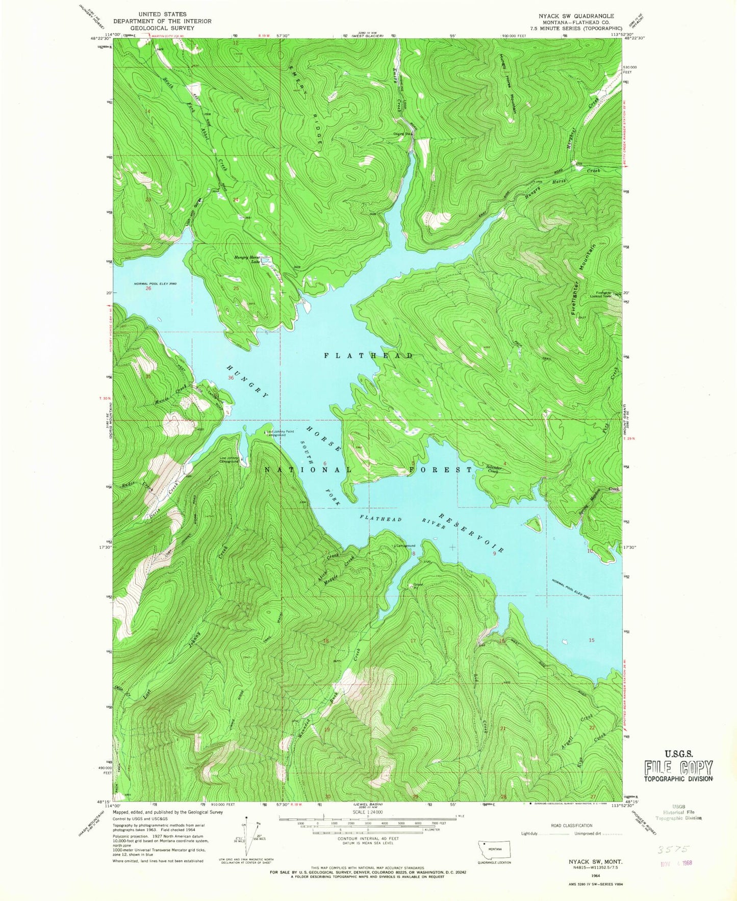
Classic USGS Nyack SW Montana 7.5'x7.5' Topo Map
Couldn't load pickup availability
Historical USGS topographic quad map of Nyack SW in the state of Montana. Map scale may vary for some years, but is generally around 1:24,000. Print size is approximately 24" x 27"
This quadrangle is in the following counties: Flathead.
The map contains contour lines, roads, rivers, towns, and lakes. Printed on high-quality waterproof paper with UV fade-resistant inks, and shipped rolled.
Contains the following named places: Abbot Bay, Ada Creek, Alice Creek, Argall Creek, Coram Research Natural Area, Doris Boat Landing, Doris Creek, Doris Point, Doris Point Campground, Emery Bay, Emery Bay Campground, Emery Creek, Emery Creek Boat Landing, Endor Creek, Fire Creek, Fire Island, Fire Island Campground, Firefighter Lookout Tower, Firefighter Mountain, Hungry Horse Creek, Hungry Horse Lake, Hungry Horse Mountain, Lid Creek, Lid Creek Campground, Lion Hill Gorge, Lost Johnny Boat Landing, Lost Johnny Campground, Lost Johnny Creek, Lost Johnny Point, Lost Johnny Point Campground, Maggie Creek, Mamie Creek, Margaret Creek, Otila Creek, Solander Creek, Spring Meadow Creek, Wounded Buck Creek, Wounded Buck Vista, ZIP Code: 59926


